Home » Adventures » CDT » Journal » Wyoming » The Winds
The past few nights had been chilly, with bits of frost on my tent and plants in the morning. Had the Midwest’s heat wave and drought taken all my warmth or was this weather just par for the course in the mountains, despite it being only early August? When the sun finally climbed over the peaks though, the morning rays felt like a warm blanket that I eagerly wrapped around myself. After a while though they turned to a scratchy wool sheet when I sweated profusely laboring up and down the mountains through the heat. As the sun retired for the day, the coolness returned and the cycle began again.
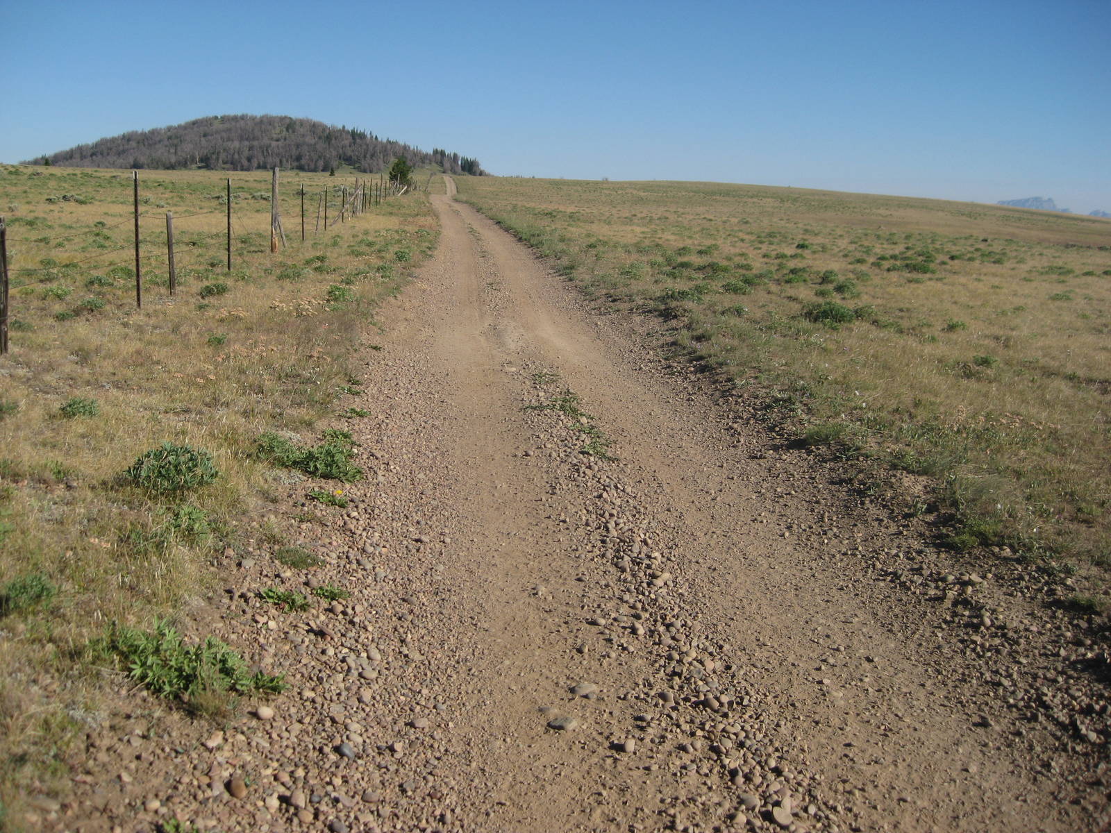
Today was a day to pound out miles through relatively flat terrain, before I hit the heart of The Winds, which would force lower mileage days. Hopefully the distance banked here would allow me to reach Atlantic City without running out of food.
The hike was still decent though, going through both forest and prairie. Tread ranged from nonexistent, to smooth dirt road, to single track, to game path. I could feel the burden of the extra food I carried, and I looked forward to eating (or brushing my teeth for that matter) for the slight weight reduction in my pack, as much as for the calories. Hopefully by the big mountains in The Winds I will have eaten a good amount of weight from my pack, lightening the load.
Another day through prairies and forests to pound out miles before The Winds became very taxing. Hopefully I had deposited enough miles into the “Bank of The Winds” to make it all the way through. I could have hiked even further, but made a wrong turn down a road which cost me over an hour. The main cause for making this mistake was not being a skeptical navigator — always doubting my decisions and forcing myself to prove that they were right. Instead I lazily assumed where the trail went, rather than carefully examining my topo maps.
I slept at the front country campground at Green Rivers Lakes. I could see my destination from the top of Gunsight Pass, but three excruciating hours elapsed before I finally reached it. The trail was annoying too, as it descended steeply, but then traversed the mountainside doing very small PUDs along the way. Not the terrain with which I wanted to contend at the end of a long day. After wandering around the campground I finally found the walk-in sites with bear boxes, which alleviated me from having to hang my food, and I cowboy camped on its picnic table.
I wanted to scale Knapsack Col tomorrow, hitting it as early as possible to minimize my chance of thunderstorms and avoid the heat. The climb was still well over half a day away though, so I would have to see if that was possible. Hopefully the good weather (no rain at least) continued for a few more days.

A few drops of rain served as my alarm, but thankfully quickly passed. That is a risk with cowboy camping — the weather changing overnight. The bear box could have provided adequate cover to keep my gear dry though.
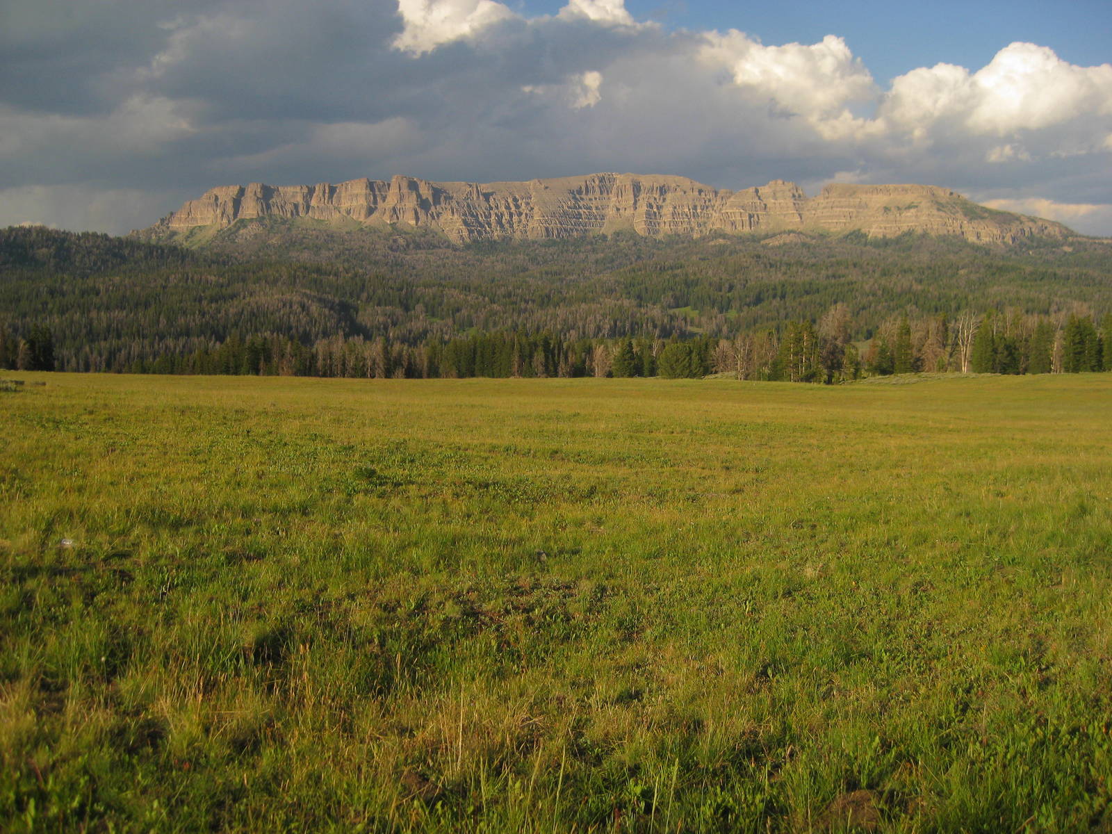
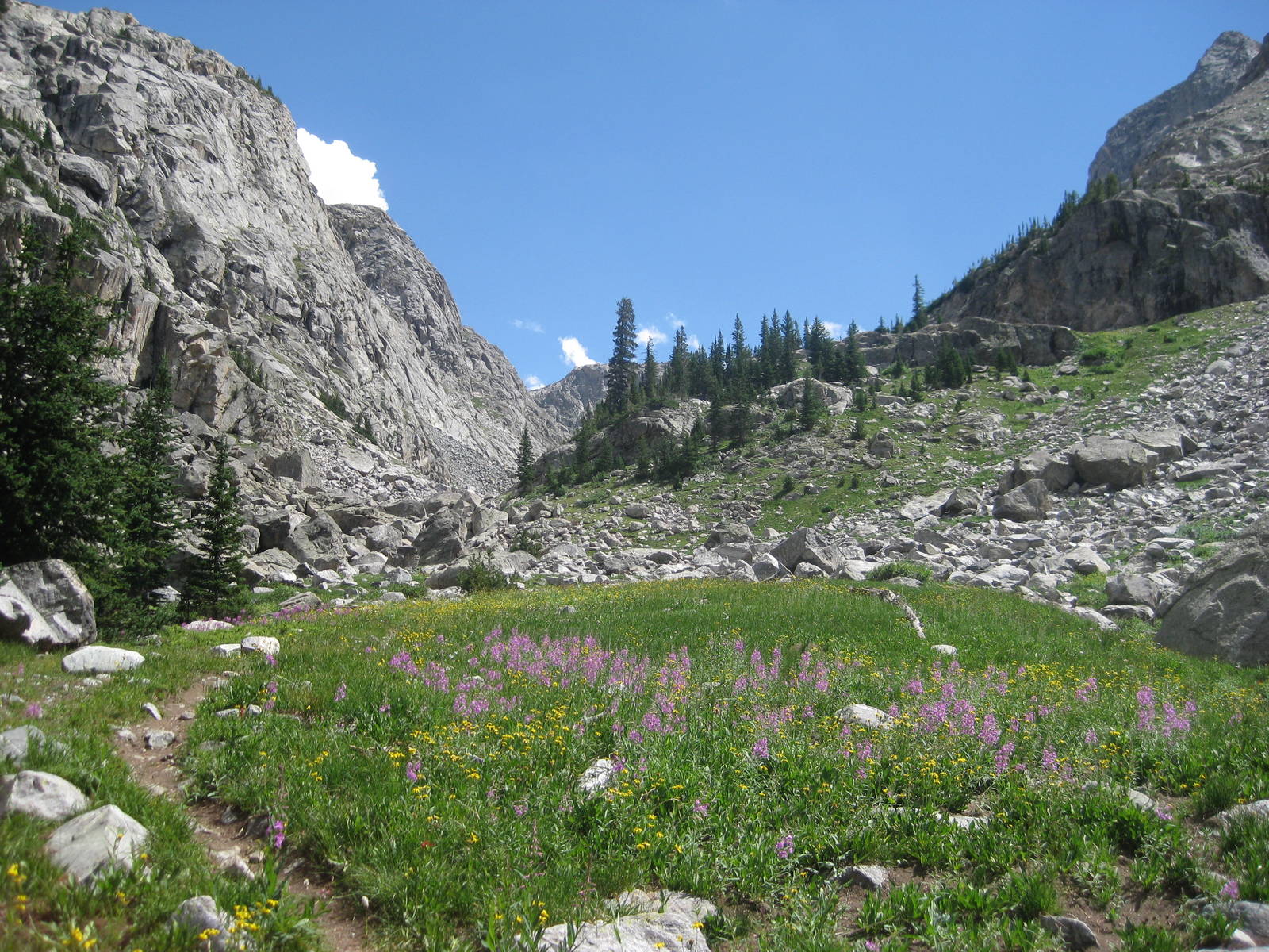
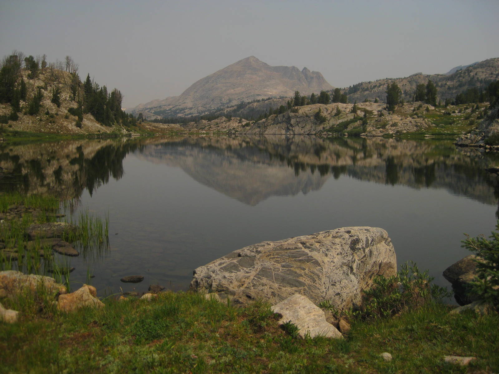
I started into the magnificent heart of The Winds. Mountains surrounded the aptly named Green River for a beautiful hike. Past Vista Pass, the trail turned to boulder hopping. I missed when the tread reemerged, so I scrambled longer than necessary. The only problem with that was I still wanted to get over Knapsack Col today. With the distance and terrain though, my “early as possible” arrival to the off trail route did not occur until after 4 p.m. Five more miles of cross country climbing and scrambling had to be covered until the next camping spots though, and doing such before dark, even with a death march, would be tough. I almost had myself convinced to go for it anyway, before sanity uncharacteristically prevailed and I stopped early at Peak Lake. I just had to hope the weather held for another day when scaling Knapsack Col tomorrow on rested legs.
I should have evened out my days more though, instead of two long treks followed by a relatively short one. You can only hike what the trail lets you though. At least I should be well rested for tomorrow.
I think tonight was my first time sleeping, and definitely camping, over 10,000 feet.
I got my early start over Knapsack Col, just a day late, but also with a day’s less food on my back. A few areas west of Peak Lake before Knapsack Col were suitable for camping. Had I known, I could have reached those yesterday instead of stopping very early, cutting a few miles from today.
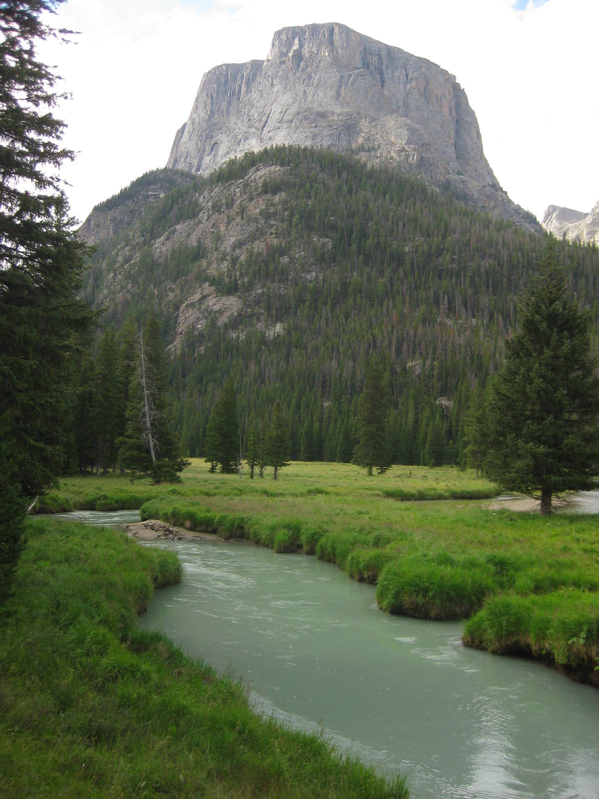
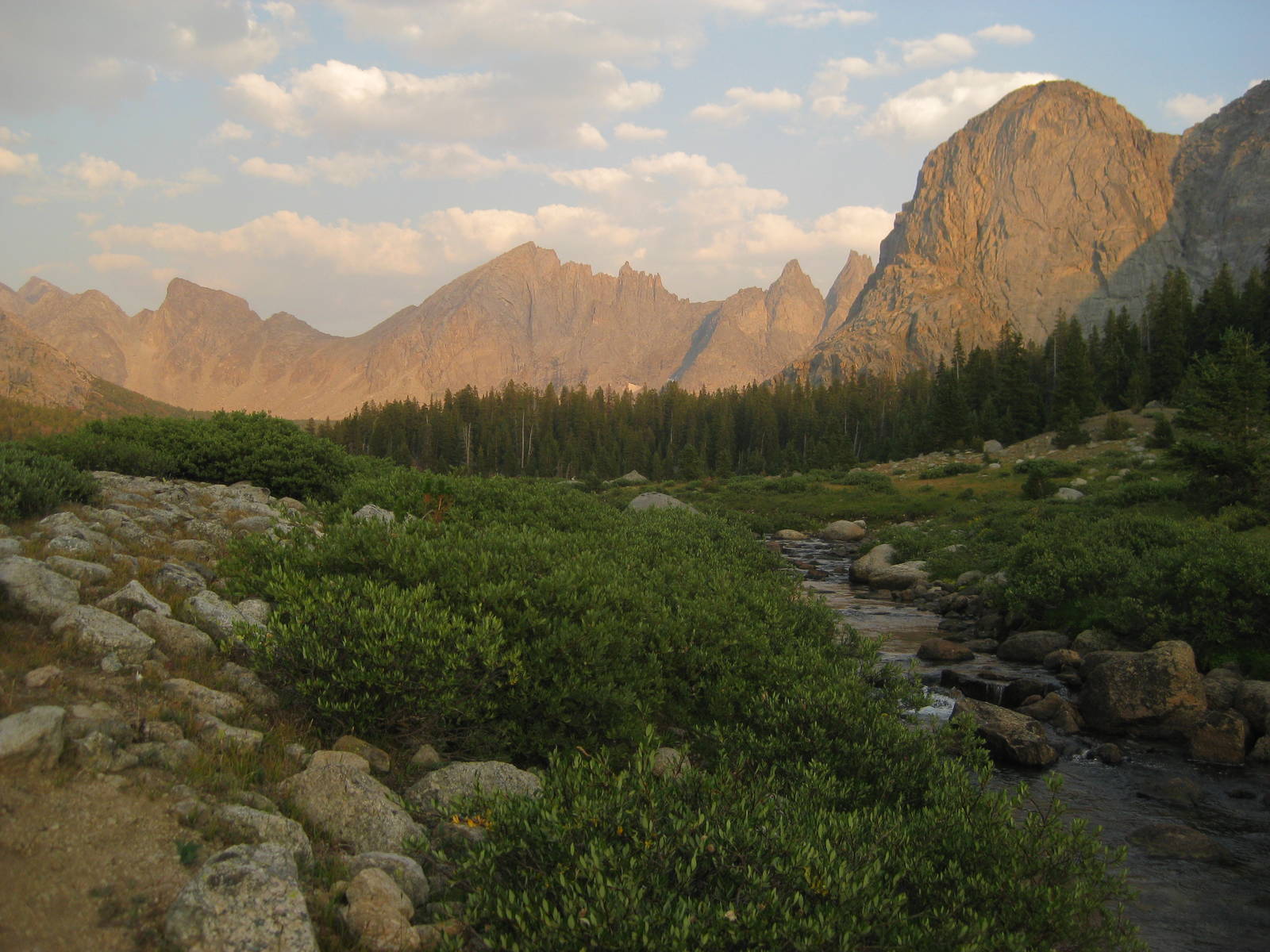
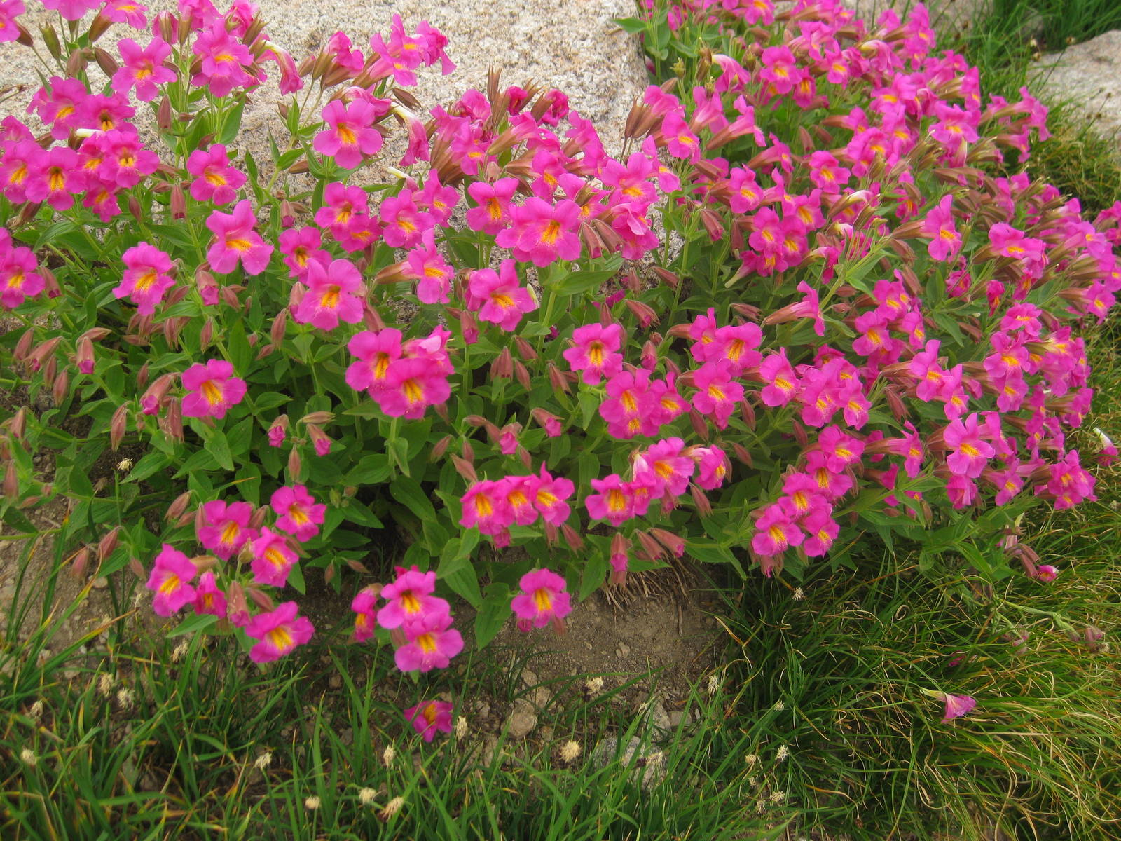
The climb up the west side went smoothly, with a mix of occasional trail and rock hopping. The area contained waterfalls, snow, wildflowers, mountains, streams, and everything else you could want to find in the mountains.
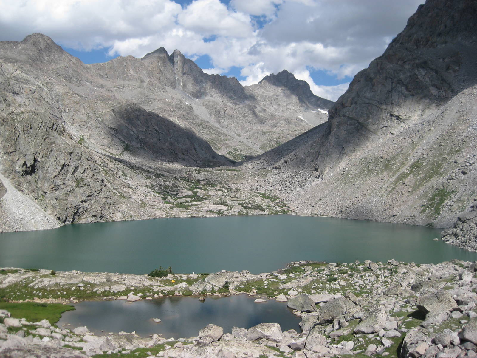
After cresting the col, the way down was a little more challenging. I crossed snow again and took a cold and steeper than expected controlled slide down some ice. The valley near Titcomb Lake was spectacular, especially looking back north — tall mountains surrounded the large alpine lakes. This alternate from the official CDT route was great and worth the extra time and effort, but not quite as jaw dropping as Ley and the NOBOs made it seem.
For the rest of the day the miles did not seem too physically challenging, but came very slowly anyway. Another lazy navigation SNAFU by Island Lake did not help either. I followed established, but unofficial trail in the wrong direction, which would have been obvious had I consulted my map. A chance encounter with two people intentionally going cross country saved me from veering even further off course. Correcting my mistake required a descent and climb, but rather than expend that energy, I traversed the steep mountain side back to the trail. I knew beforehand this decision was wrong, but proceeded anyway. I doubt the scramble saved me any time or effort, and my route was dicey in a couple spots.
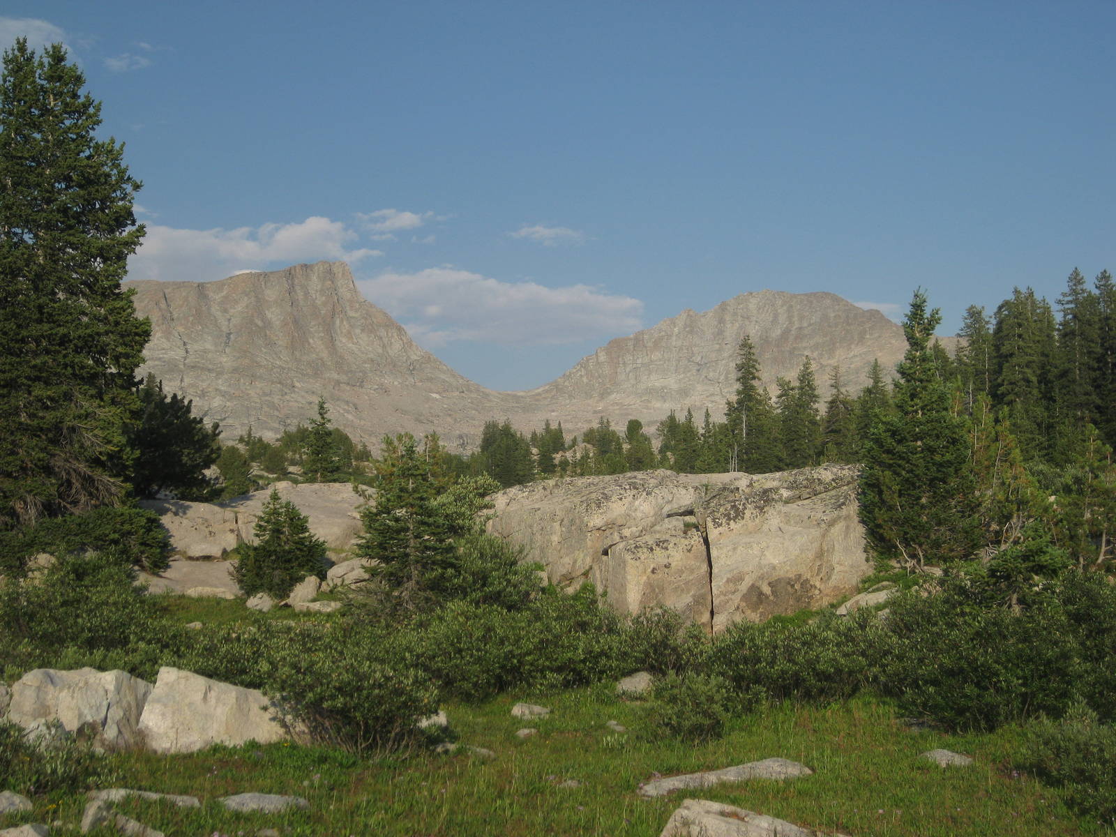
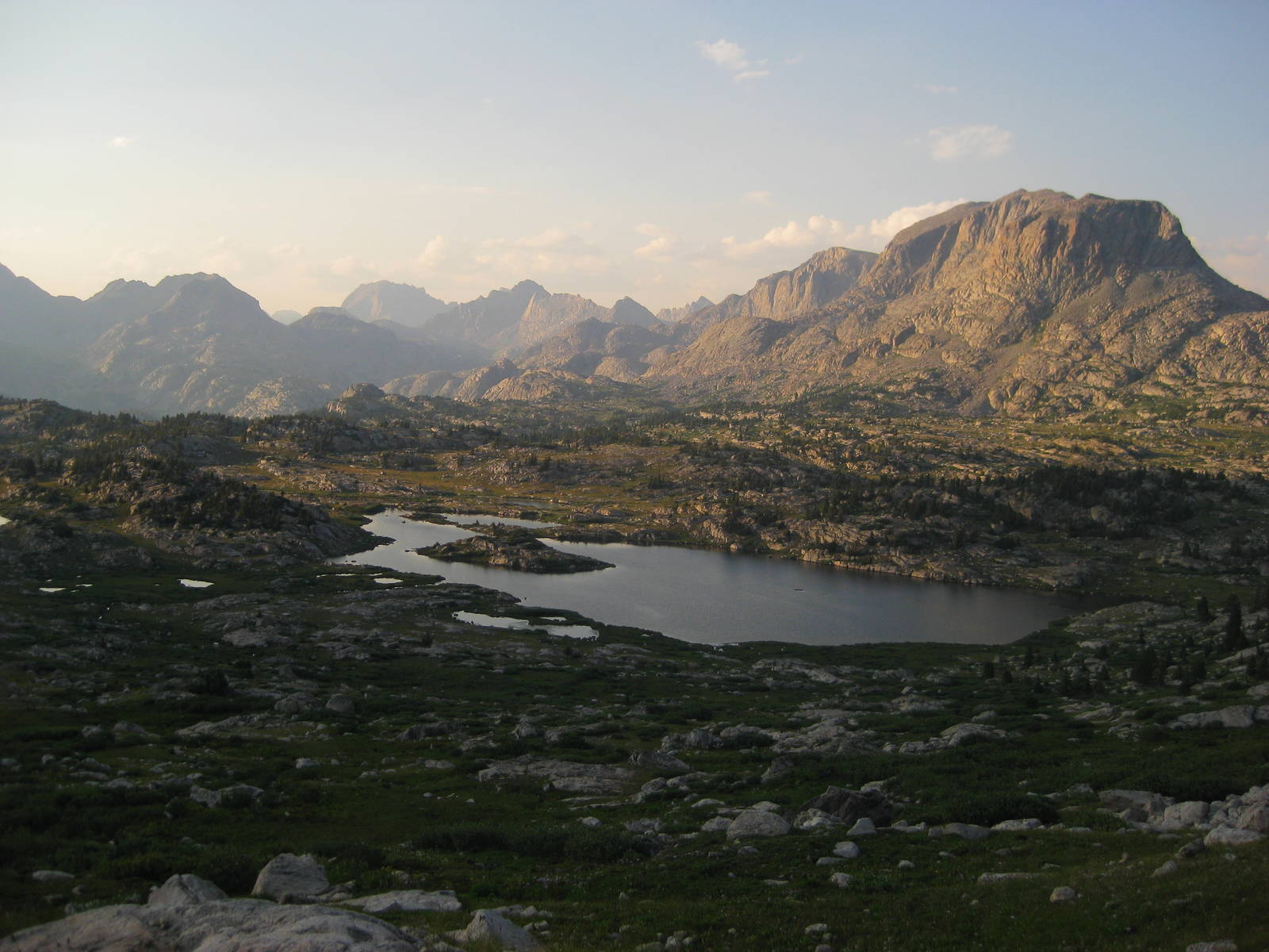
Another day through the beautiful Winds. This area really was magnificent, with distant, soaring mountains all around, beautiful lakes, and luscious forests. Just looking at the map, there were so many other neat places in The Winds that the CDT did not explore. This area was one I will needed to return to for further backpacking. [Ed. note: I did, five years late to explore the Wind River High Route]
I met Jetpack and Brazil Nut today, two women going NOBO. I was the first SOBO they had seen.
I reached my destination at Shadow Lake, so I could conquer Cirque of the Towers first thing tomorrow morning. Of course getting to that lake took longer than expected, but miles did not come quickly through The Winds.
The different identities and trail names that are part of thru hiking culture do not appeal to me much, but it is part of the fabric so I might as well embrace it. Therefore I donned myself “Scooby” for a trail name, after the cartoon dog. Besides a couple over indulgences in town, nothing special has happened on the trail for me to earn one, and too few other hikers to christen me with one. So I used my favorite childhood TV show, which followed into some adult antics as the basis for my trail name. Now I will see if I meet any other thru hikers to actually use it.
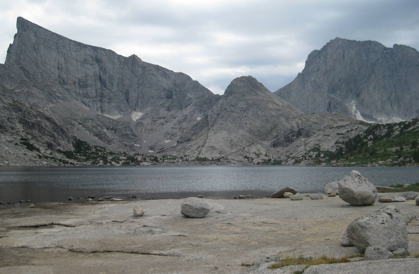
I started my day with a steep climb over Texas Pass, and my view of Cirque of the Towers. The view was amazing, with rising mountains forming a circle around a lake. The climb down and back up Jackass Pass did not seem overly hard, but still took almost two hours to cover the couple miles. I could not decide if Jackass Pass was named for the traditional meaning regarding the animal, or the more modern definition with respect to the terrain.
A few downhill miles brought me to the start of the climb over Temple Pass. I passed a few alpine lakes before slogging up the boulder-filled mountainside. Through the climb I had the interesting sensation of wind in my face, clouds approaching from behind, blue sky on my left, and thunderstorms on my right. Only a couple claps of thunder rumbled through though, and I reached the pass while avoiding any bad weather.
The afternoon and evening miles down from the pass transpired very slowly. I was not sure if I physically slowed down as the day wound on, they mentally drug on, or a little of both.
I reached Little Sandy Lake but could not even see the body of water from the trail. This missing lake vexed my idea for a swim, so I just washed in the river.
The Winds were extraordinary, but their reputation also made them very popular. You never camp alone near a lake, and I passed more backpackers in this past week than all of Montana. Of course, not everyone lugged their gear on their back. Just today I saw horses, donkeys, goats, llamas, and teenagers being used as pack animals. Those sherpas do make me jealous sometimes.
I eventually saw Little Sandy Lake early in the morning, although the trail provided no access to its water. I was pretty tired hiking today, my long journey through The Winds catching up with me. I needed the easy day coming up in Atlantic City. I met a group of six NOBOs (got to use my trail name, yeah!) which made us the biggest group of thru hikers I had seen in one spot. We exchanged trail intel and wished the others luck.
By the afternoon I had completely left the mountains and transitioned into open plains. Not quite the basin yet, but a little foretaste. A giant storm blew in from behind in the expansive area, its wind strong enough to prevent me from walking straight. I prepared to be walloped by it, but somehow it veered away, and I stayed dry.
As seemed to be usual, I had difficulty navigating in civilization, and took a few wrong dirt roads, but would still be able to reach South Pass City early tomorrow morning, without adding any miles.

I found the CDT and headed towards South Pass City, passing two other NOBOs on the way. South Pass City was a historic site that preserved a gold rush boom town, featuring restored houses, hotels, and of course saloons. It also contained information on how the gold mine operated, although unfortunately the mine tours were not available due to cleanup working being done at the site. Still, walking around the old town and learning about the American history of the area was interesting, rather than just seeing beautiful mountains. I also offloaded some maps, courtesy of the USPS, which was a nice weight off my back.
Nearby Atlantic City was next, with a short road walk bringing me to my resupply box, lunch, and second lunch. After topping off my calories I headed a few miles out of town and into The Basin — what a radical change from The Winds just two days ago. Dry, desolate, rolling plains and sage brush as far as the eye could see. Only a few miles out of town a car even stopped unprompted and asked me if I was okay, as they had not seen another car, much less someone walking in a very long time.
