
Home » Adventures » Great Superior Adventure » BWCAW
Sandwiched between a visit to Isle Royale and trekking the Superior Hiking Trail, I partook in a week long canoe trip through the Boundary Waters Canoe Area Wilderness.
As usual I did virtually no planning, despite having my guidebook from my last time here —Scooby-Dooby-Doo!! I did not even get my permit till the day before. I had my sea kayak with me, having hauled it all the way back from Alaska, but since that boat is nearly impossible to portage, I rented a canoe anyway. And since the top of my car was occupied with the aforementioned kayak, my ability to transport a canoe any distance was severely limited. This greatly reduced my possible entry points, and since I started from the end of the Gunflint Trail during my prior trip nearly a decade ago, I opted to put in at Sawbill Lake (Entry Point #38) instead.
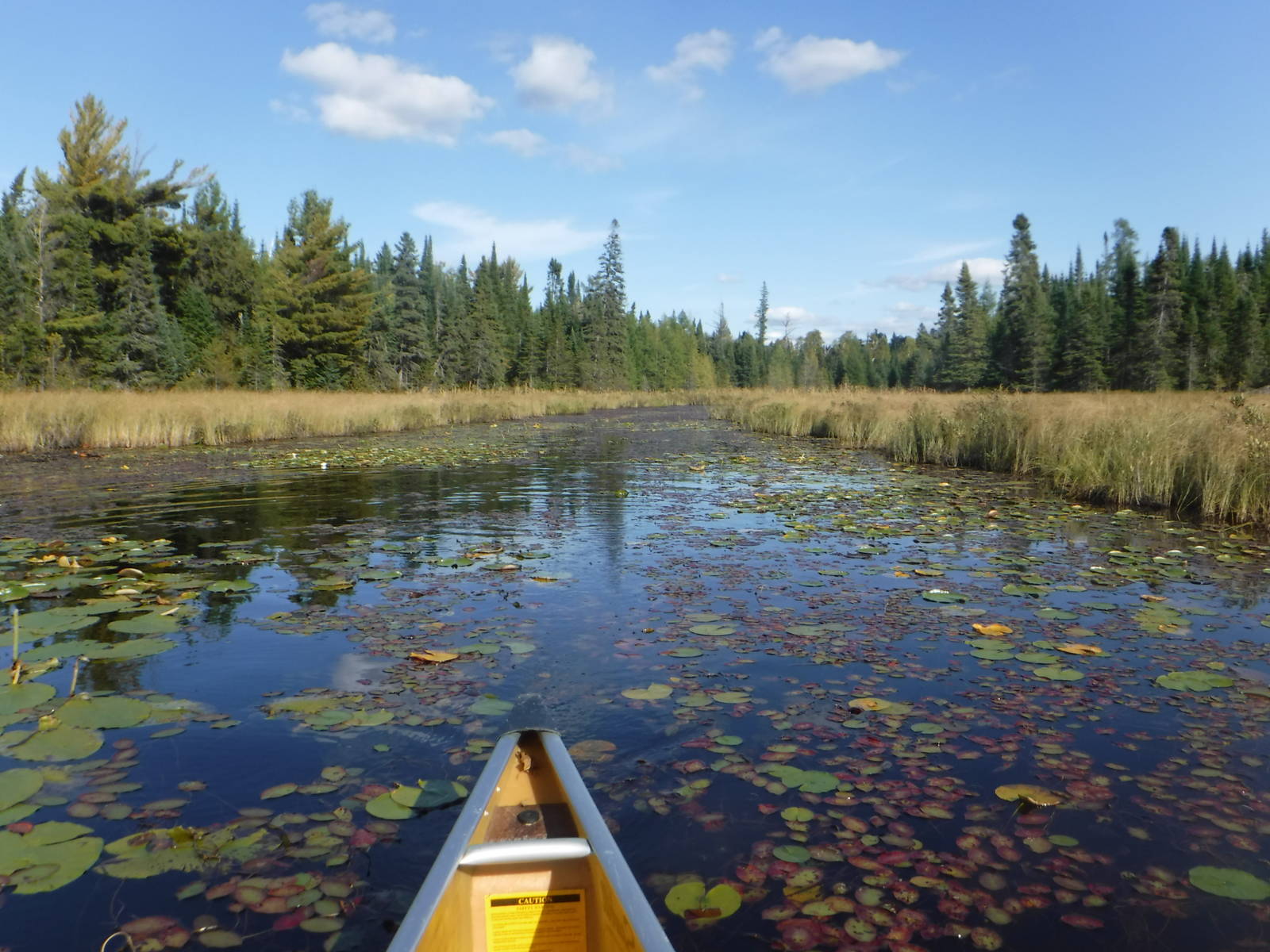
After attending church in the morning, I hit the water at Sawbill Lake with almost no idea where I was going. I played everything by ear, making a giant loop as I went along, picking whichever way on the map that looked nice. My overall route eventually went counter-clockwise, generally making my way up the Temperance River and through Cherokee and Long Island Lake before turning west across Tuscarora, Little Saganaga, and Thomas Lake. I explored some named, but unimpressive features on Lake Insula before making my way east along the Kawishiwi and Phoebe rivers back to Sawbill Lake. In total I made an approximately eighty mile loop, including a bunch of portages. (See map for details.)
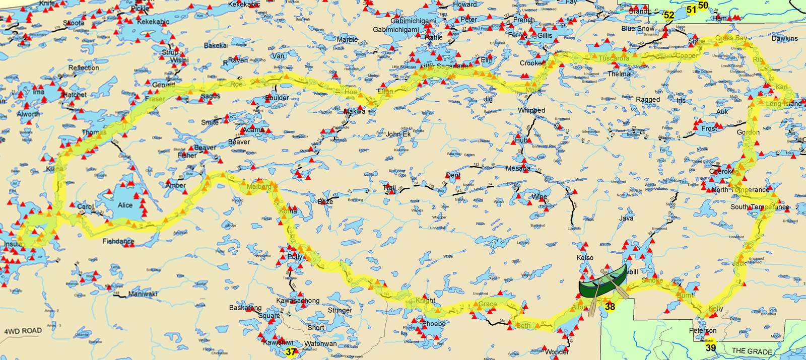
Route I canoed
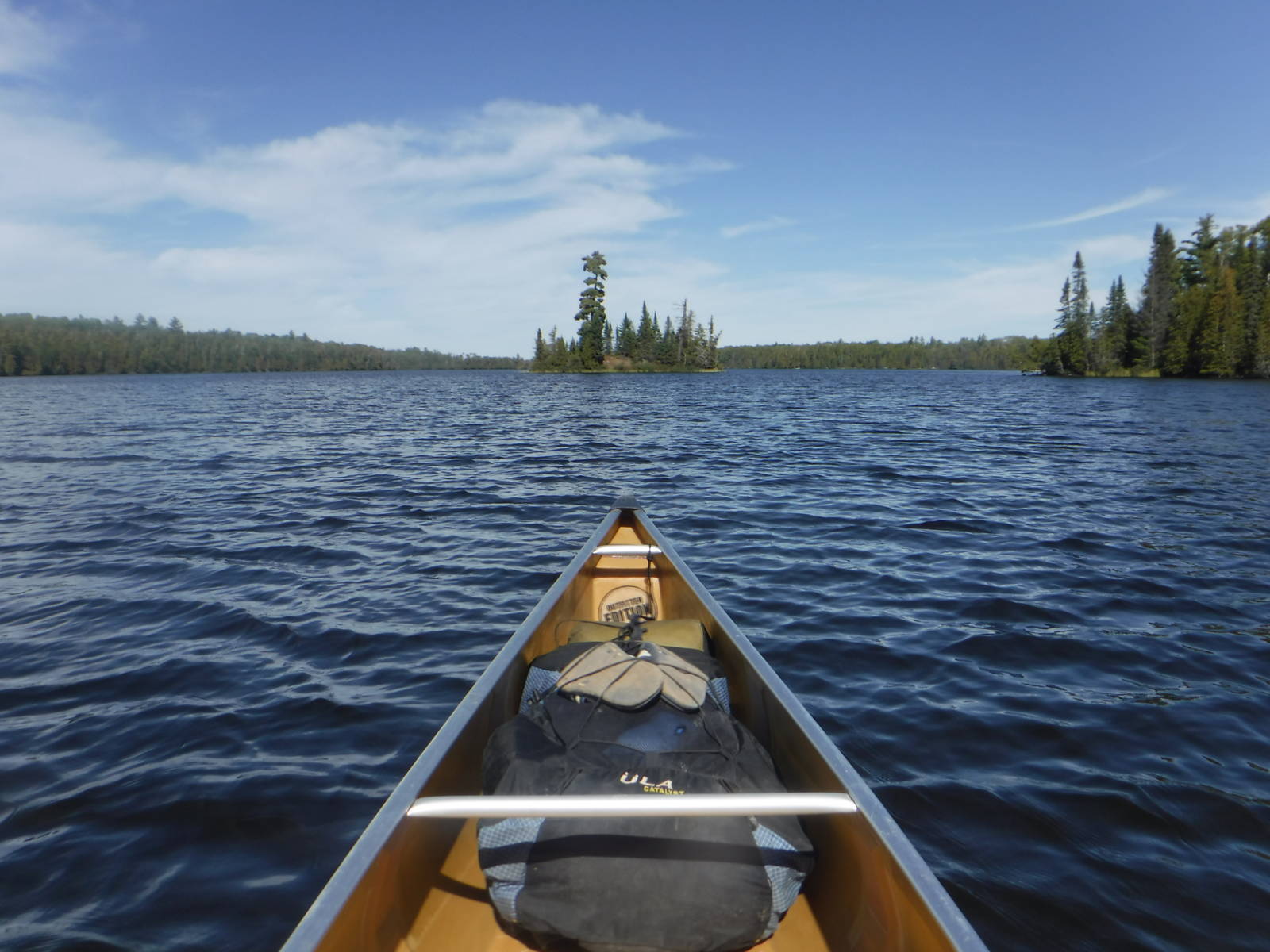
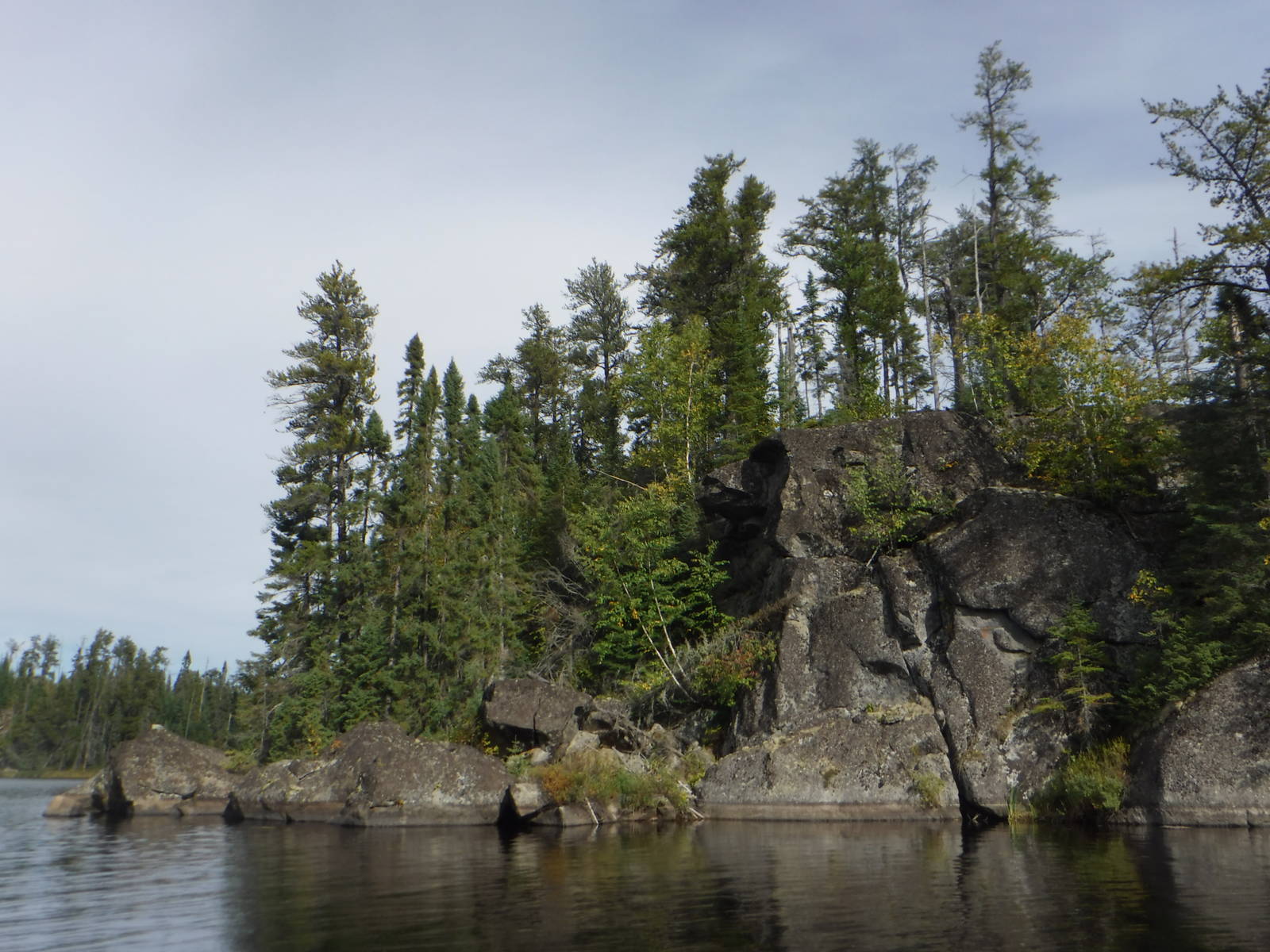
I had a really enjoyable time cruising around this vast wilderness area. The portages were much easier than I remembered and by my standards the days were fairly relaxing and open ended. The scenery was nice and I just had a great time on the lakes.
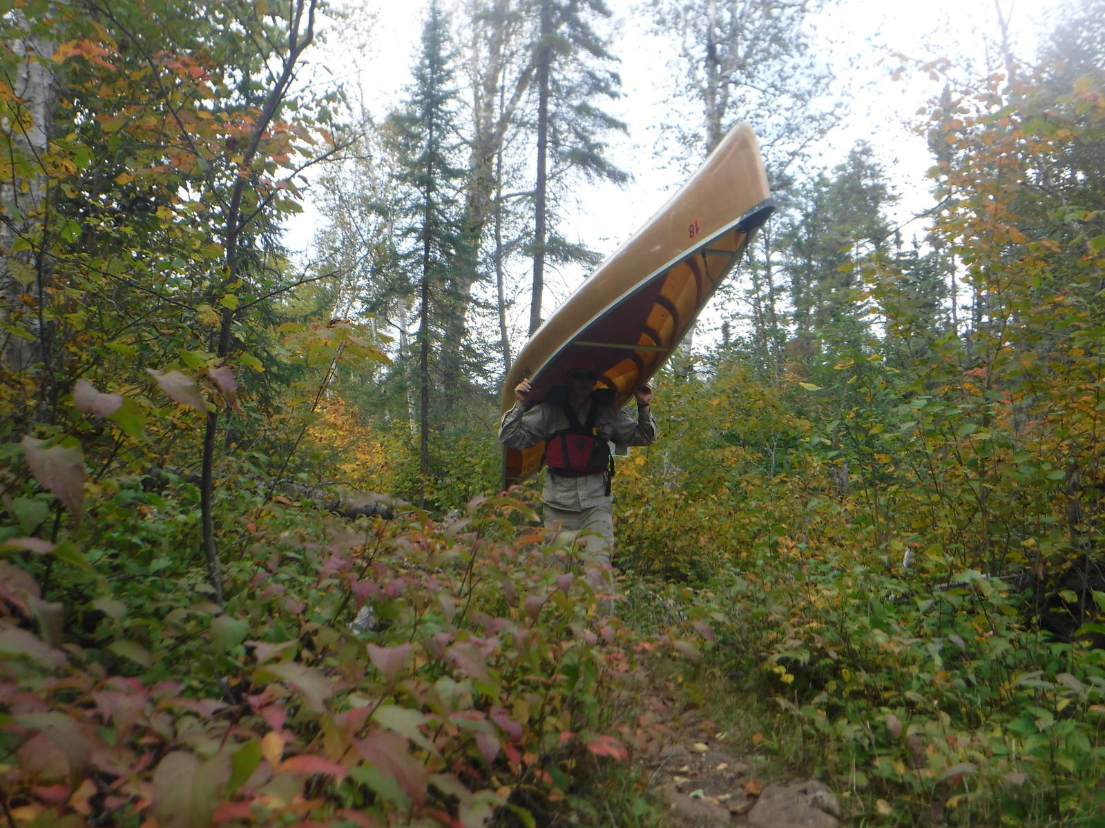
The BWCAW is amazing, but few of the lakes are large or connected by steams a canoe could get through. This arrangement is more picturesque, but also means portages frequently occur. The portage trails were mostly in good shape (even very remote ones), but constantly stopping to carry a canoe got old after a while. Of course without a pad my canoe seat was not the most comfortable thing anyway, so being forced to stand up on a regular basis was not the end of the world.
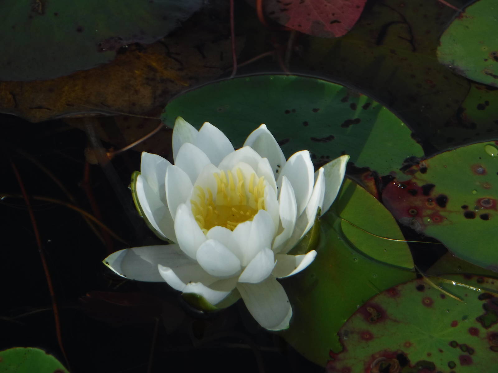
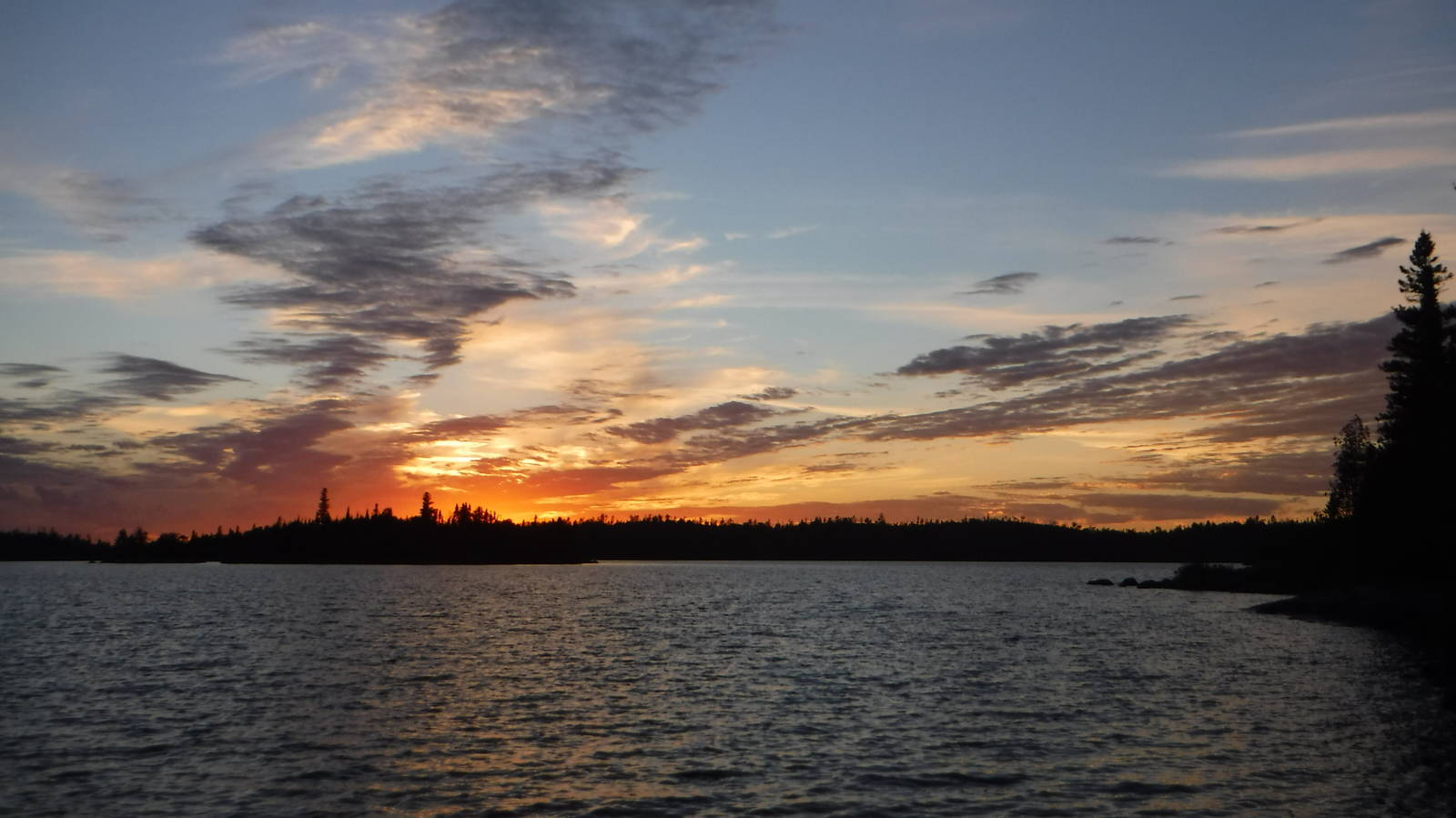
I had great weather for almost my entire week out, even going for a quick swim once — in late September! Some of the days were windy — always a headwind, no matter which direction I traveled — but the breezes were mere annoyances and impediments, never creating big waves or forcing me off the water. Rain only fell during my last half day on the water. Fall colors had just started to change too, providing a nice backdrop to the lakes.
Best of all the bugs had almost entirely already died, so I remained unbitten even as my DEET went unused. A few campsites had mice though, which are nearly impossible to defend against. All the other wildlife stayed hidden, save waterfowl and a few otter. Beavers left ample evidence of their presence, with dams and whatnot, but never revealed themselves to me. Other humans mostly stayed hidden as well, and I never had a problem with occupied campsites, despite never quitting till late in the day. People did however, occasionally leave behind nice piles of firewood at campsites, enabling a much more enjoyable evening for me.
I almost lost my camera (again). I could not find it one morning as I was preparing to leave, even after tearing apart my gear and thoroughly searching my campsite. I retraced my route from the prior day, and thankfully found it relatively close by at the end of my last portage from the day before (hence the first one I searched). It lay undisturbed overnight and still worked. I really need to be more careful with my stuff.
For navigation I used the Trails Illustrated Boundary Waters map despite their very large scale, and did not bother with more detailed ones. I was being frugal with this choice, but since I did not plan a route ahead of time, buying the correct maps would have been difficult anyway. The Trails Illustrated map (along with a compass) was adequate for navigation, and I never got lost. A smaller scale would have helped a few times, but I always eventually found my way. A couple portages had changed, been added, or removed from what the map indicated, but those minor differences never caused any real trouble. All the detailed topographic maps for the area were loaded on my GPS anyway. I did reference these a few times, only because it was quicker and easier to do so than sticking to paper and my wits, but I could have survived without the electronics.
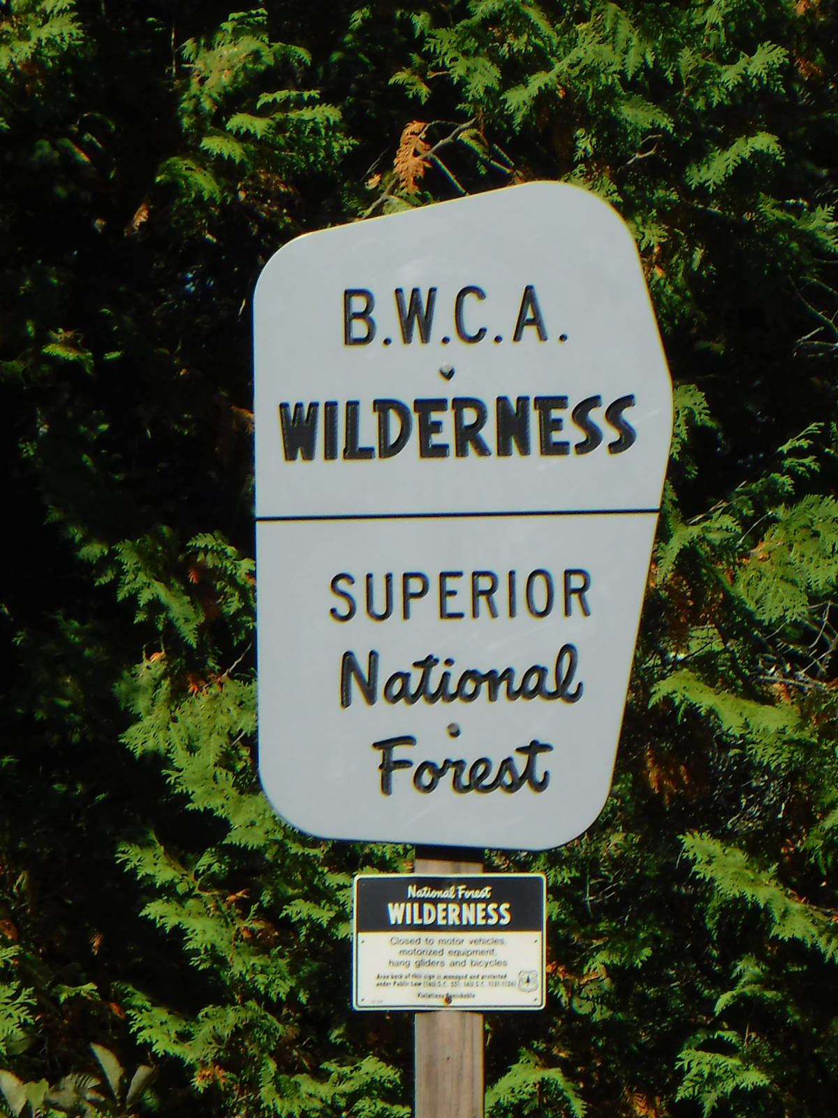
Some type of map is certainly needed in the BWCAW though, as there is virtually no signage. Portages trails, campsites, and other features are not indicated in the backcountry. The lack of glaring markings greatly added to the experience for me, and I hope it stays this way. If you do not know where to go from a map though, you will be in a world of hurt.
Despite not having an income at the moment (unless you buy a picture of an anthropomorphic gambling canine), I finally learned my lesson and for once rented the upgraded canoe from my outfitter (Winona Kevlar solo 16.5′ (I promise no Winona Ryder jokes)). This boat was amazing compared to what I had used previously. She actually had a yolk, balanced well on my shoulders, was very light. As such I usually did portages in a single trip, which made quick work of trails that were even a couple hundred rods long. The canoe had plenty of room and handled great in the water. I did use my own kayak paddle rather than a canoe blade though, as that is much faster and affords better control in the wind.
The rest of my gear mostly consisted of my standard backpacking setup, with my backpack thrown in the front of my canoe. I took along a few luxury items since the weight would not be on my back all day, but I still wanted to keep things relatively light for the portages. The only real canoe specific gear was a PFD and paddle. I wore my normal trail running shoes, which worked well enough, but they often got wet when alighting from the boat for a portage, so perhaps neoprene booties would have been better. I am not sure how they would have felt during long portages though.
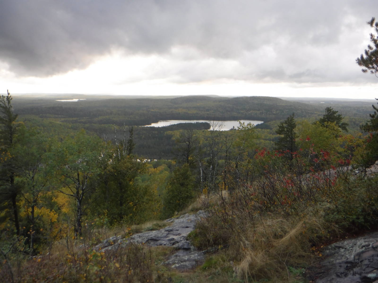
The afternoon after I finished my canoe trip, I took a quick trip up nearby Eagle Mountain — the highest point in Minnesota. Although I have no desire to visit the highest point in every state, I hit this one, which was only a couple mile hike that rose several hundred feet. And the view from the top was great as well!
Eagle Mountain