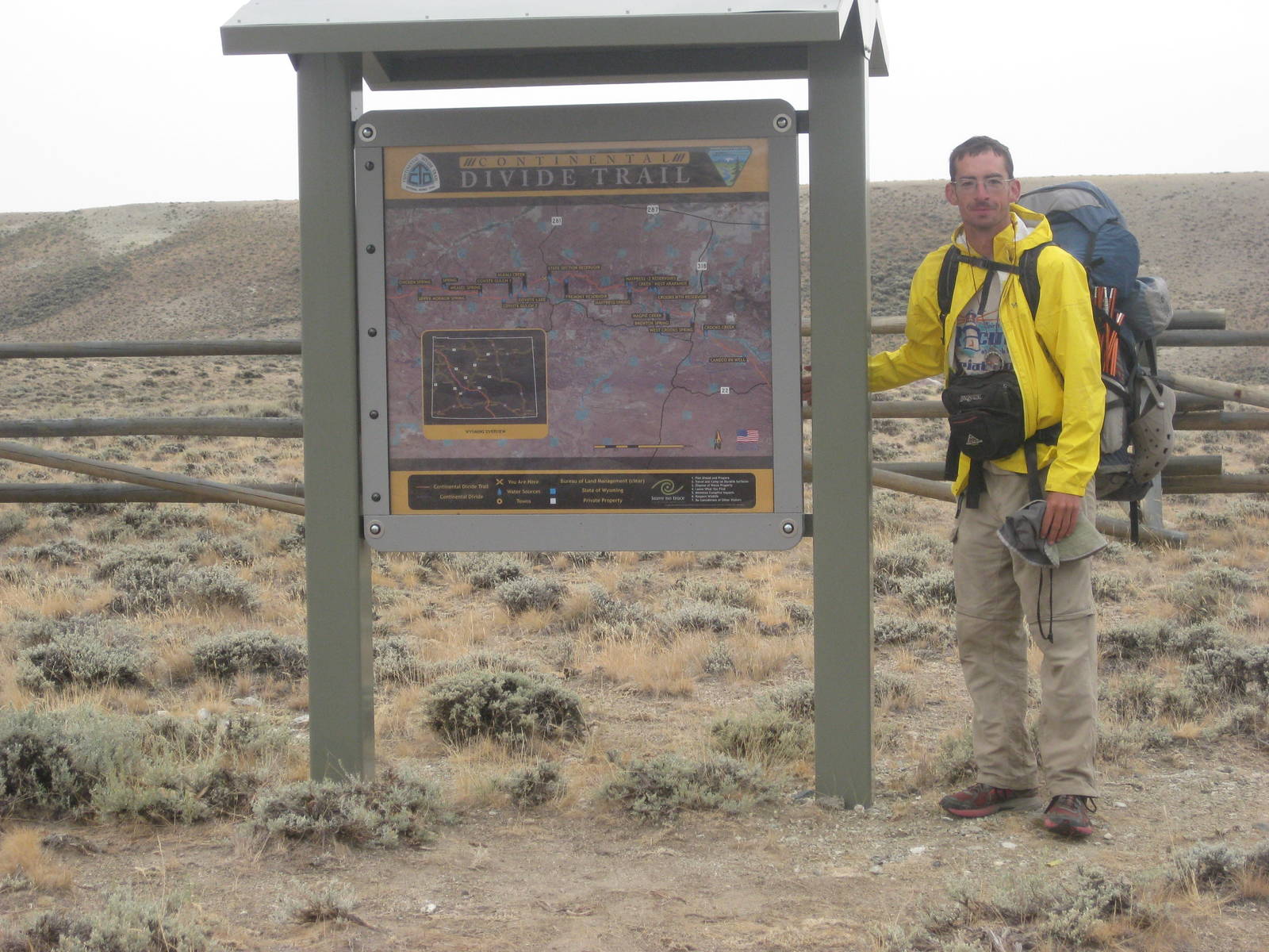
Home » Adventures » CDT » Journal » Wyoming » The Great Divide Basin
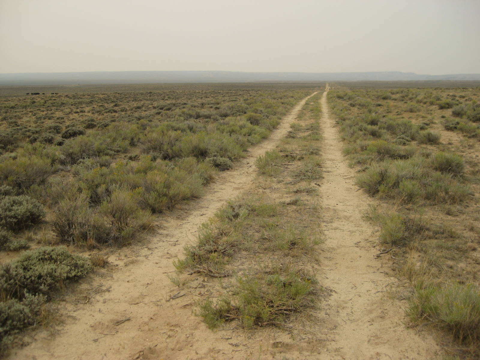
I may not be officially in the Great Basin yet, but the surroundings were still dry and brown. Rolling hills with wilted grass and sage brush all around. Not the most interesting hike, but part of the OCD nature of thru hikers make us endure it. The area did have a unique beauty of its own, but after about an hour I had experienced it, but this open, mundane landscape just kept going.
With a limited number of audio book and batteries I also had to ration those, just like food and water. A radio or hiking partner would have been great through here (although Top 40 radio stations are about as repetitive as listening to the same book again and again). I did learn to walk while reading a book or doing a crossword puzzle though.
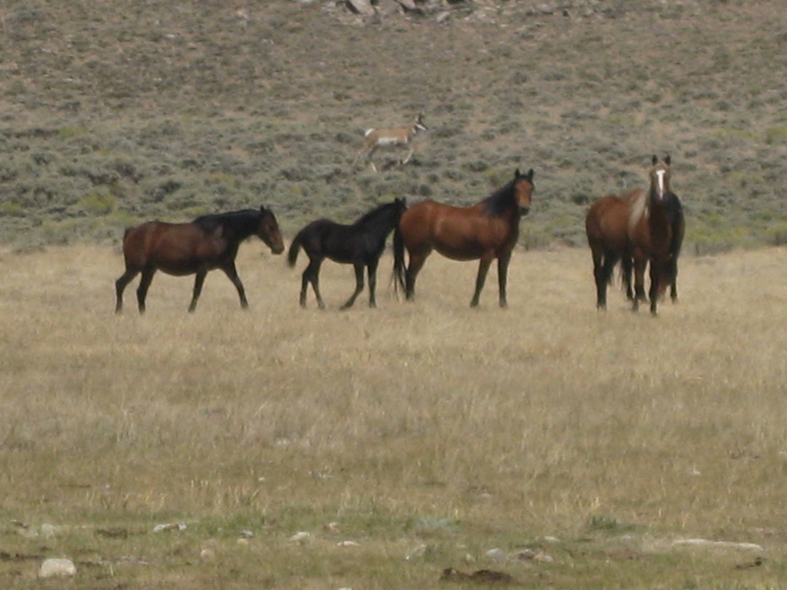
For as arid as the area was, a lot of wildlife called it home, notably wild horses and antelope. When I happened upon a spring, the variety and number of animals made it look like an African watering hole, except with more cows. All manner of species congregated around the life giving liquid.
At the day’s end I started my longest dry stretch, at least until New Mexico, of twenty-eight miles without a water source. I drank up and lugged out three liters, which was on the low side to cover that distance, but yet still heavy. Reaching the next spring would be a nice reward.


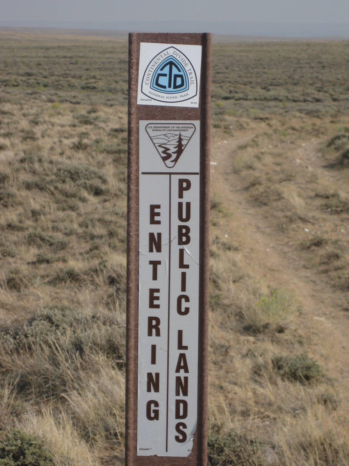
A cool, overcast morning helped conserve my limited water supplies as I continued the long trek between decent water sources. The sun eventually popped through, although a breeze kept the temperature in check. The terrain was not mountainous, but much hillier than the prior day, and my legs had little energy to contend with them. I was still not fully recovered from my jaunt through The Winds. Long, although generally easy days through the Basin probably did not help the situation either. At least the CDT was well marked through the labyrinth of unmapped jeep trails, meaning I did not have to worry about navigation.
It took most of the day, but I eventually reached the trickle of water at Benton Spring, which was sufficient for my needs. The rest of the evening I had a stiff headwind with little sheltered area for my tent in the plains, so hopefully the wind would die down overnight.
A monotonous day mostly walking in a straight line, and I could see the path for miles and miles ahead. Only low, dry sage brush was alongside. I did not see a tree all day. I exhausted all my audio books as well. A haze (hopefully nothing was on fire) and breeze kept the temperature reasonable. At least water sources were more conveniently spread out. Also, I would arrive in Rawlins a day earlier than expected, so I could eat like a backcountry king until then.
Another day across the basin, with a layer of dust caked all over my skin. For most of the day I now paralleled a highway and listened to traffic. Even though I willingly chose to hike, seeing an endless stream of cars zip past, knowing in twenty minutes they would cover the distance that would take me all day was still a little disheartening — especially through the relatively uninteresting scenery.
The route went cross country in places, and walking over uneven rocks, through low sagebrush, and occasional small cacti was difficult, but still better than along a highway with lots of semis. I soon retreated to jeep tracks closer to the highway, and the official CDT eventually rejoined these paths as well. I could have made Rawlins tonight, but had enough food and did not want to splurge for a hotel. I would have left Rawlins at the about same time tomorrow anyway, so overall it would have not advanced me along the trail.
Today was my two month anniversary with the trail, which was almost a routine part of daily life now. Like all relationships we have had out good and bad times, but for the most part I have really enjoyed myself. I do end up thinking about “afterwards” or life “off trail,” but I was not in a big hurry to be done (other than to beat winter weather). The only thing I disliked about the CDT was the (possibly self-imposed) drive to always keep hiking. Fall in Colorado had scared me since before I started, and I always felt the need to keep getting miles in to try and beat the weather as much as possible. Stopping early or spending extra time in town seemed mostly verboten so I could get through the mountains before the window shuts. At least me being cheap (I was an unemployed hiker, so I had an excuse) helped alleviate the latter’s temptation.
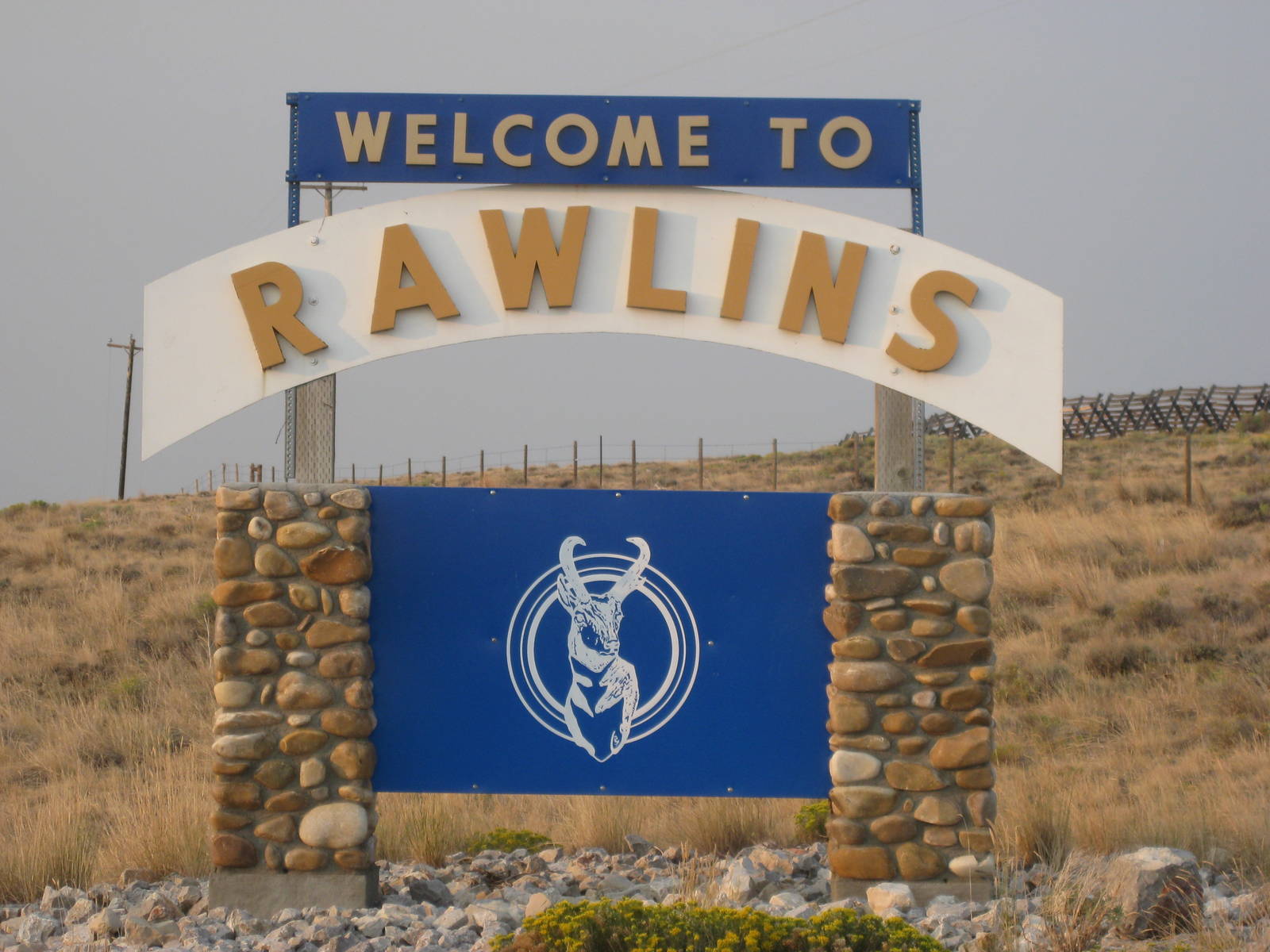
The plains around Rawlins did not provide any sheltered spots to pitch a tent, so I did not get much sleep as the wind buffeted my dwelling all night. Eventually the morning sun crept over the horizon, and I finished my walk into town. I enjoyed the normal town luxurious such as eating a lot, laundry, a shave, and eating a lot. Rawlins was spread out for pedestrians travel, but an awesome door to door bus service helped eliminate some of that. I loaded a few new podcasts onto my iPod as well, which should help entertain me through the rest of Wyoming’s flats.
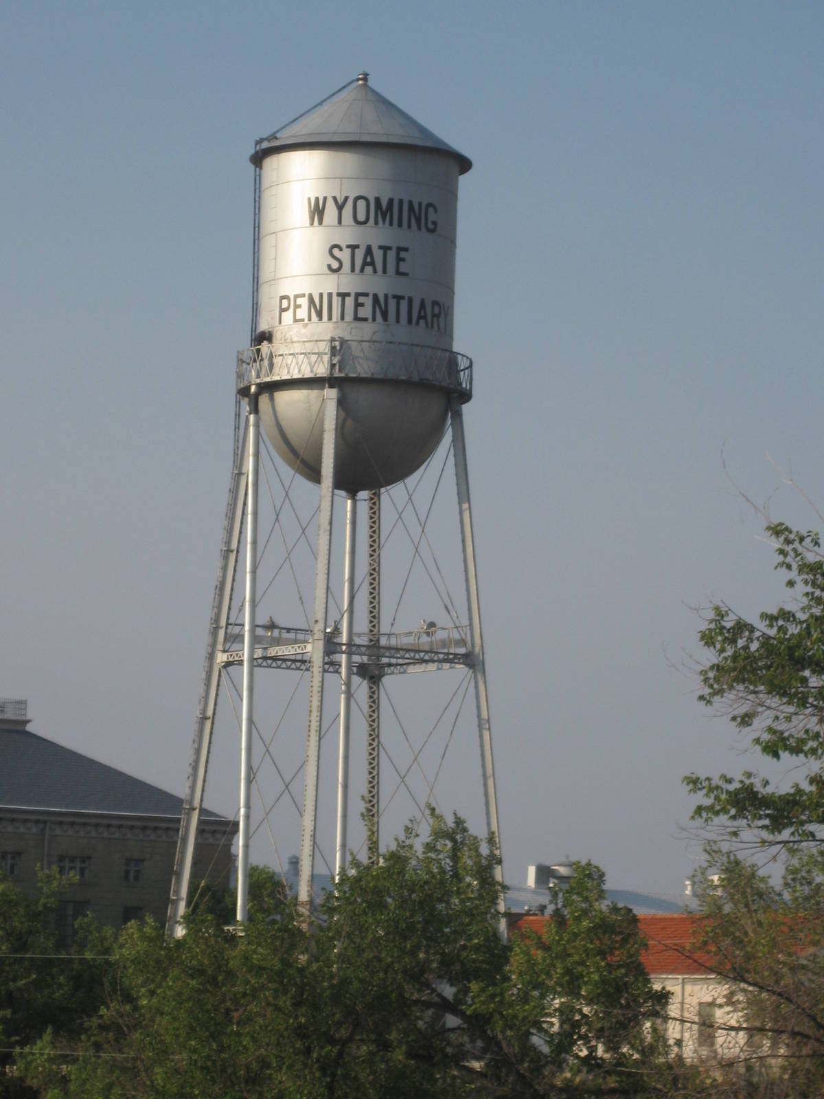
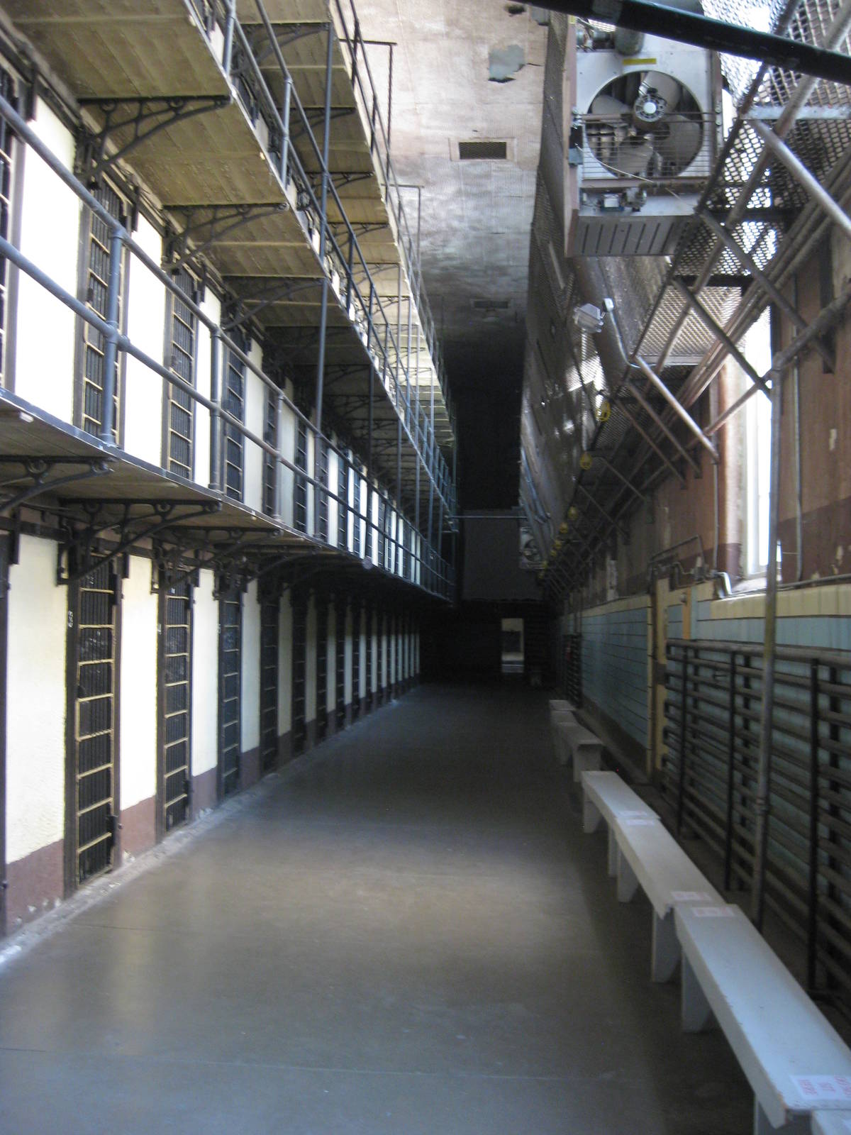
Rawlins also had the state’s first penitentiary, which is now closed, but had a museum and tours. Although I had never been to Alcatraz, the inside of this prison’s cell blocks looked a lot like it, with long rows of cells with caged guard areas opposite. The space inside the cell for two men was incredibly small, with almost no room to move if both were standing up. The prison also contained a death row, where around a dozen men were executed by gallows or the gas chamber. Although I do not have a strong opinion of the death penalty, tours through the spots where these men were put to death seemed a little macabre, even if they were condemned murders. One could even sit inside the actual gas chamber for a tourist photo, which I elected not to do.
After being released from prison, with large quantities of Thai food still sloshing in my stomach, I walked a few miles out of Rawlins and back to BLM land, although still within earshot of the interstate and rail yard. At least all the food remained inside of me.
Unfortunately my pack was heavy again, with hopefully enough food to cover the 150ish miles to Steamboat Springs, skipping Encampment. Of course now I had to worry about water as well, so my pack may be absurdly heavy through the dry stretches. At least the earth should be relatively flat for a while.