Home » Adventures » Adirondacks » Backpacking to Slant Rock
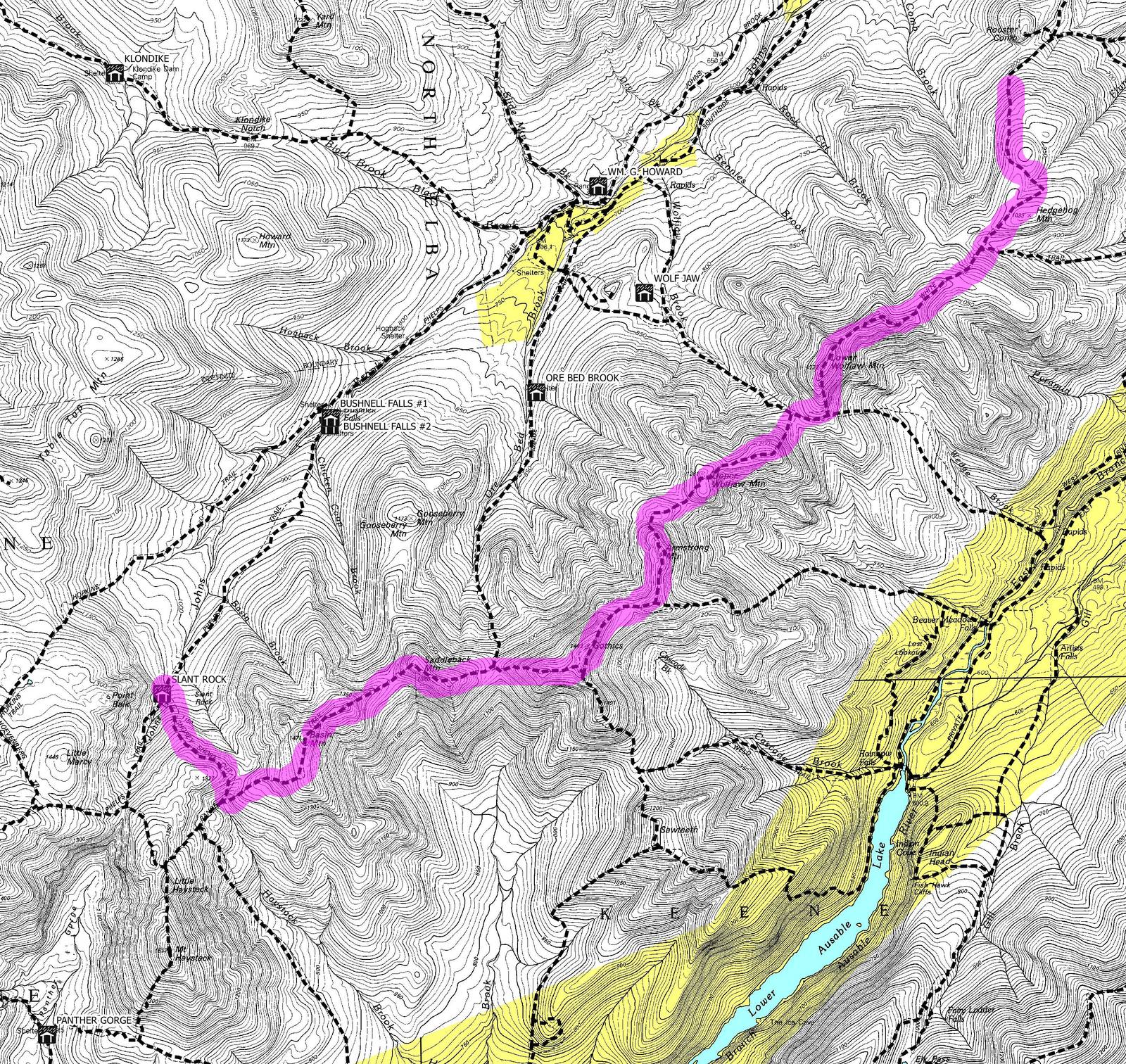
Route I hiked this day
I started from Mt. Comb intending to reach Panther Gorge. My map showed the trail followed a ridge line, and unfortunately I read it correctly. It went towards Wolf Jaw mountains and climbed over the spine of this range. The trail may have been made before switchbacks were invented, as they went directly up and down the mountains, often on damp, mossy rocks that I had to be very careful crossing. Progress was very slow. I was not hiking as much as I was scrambling over rocks — a cross between very rugged hiking and very easy mountaineering.
I continued along to Armstrong and found more of the same brutal terrain. By coincidence many groups of day hikers and I met while taking breaks at Gothics. I was surprised so many people were out this way.
I had been foolish with water, not topping off before I left the trailhead or determining my next water source. With the trail now following a ridgeline there were no opportunities to refill. I ran out of water very early in the day, and unsuccessfully looked for more. A few small puddles were along the trail, but I was not yet desperate enough for warm, stagnate water. I was very thirsty but still sweating and not yet delirious. I was uncomfortable, but not in a danger zone. I kept going without trying to beg water from better equipped hikers.
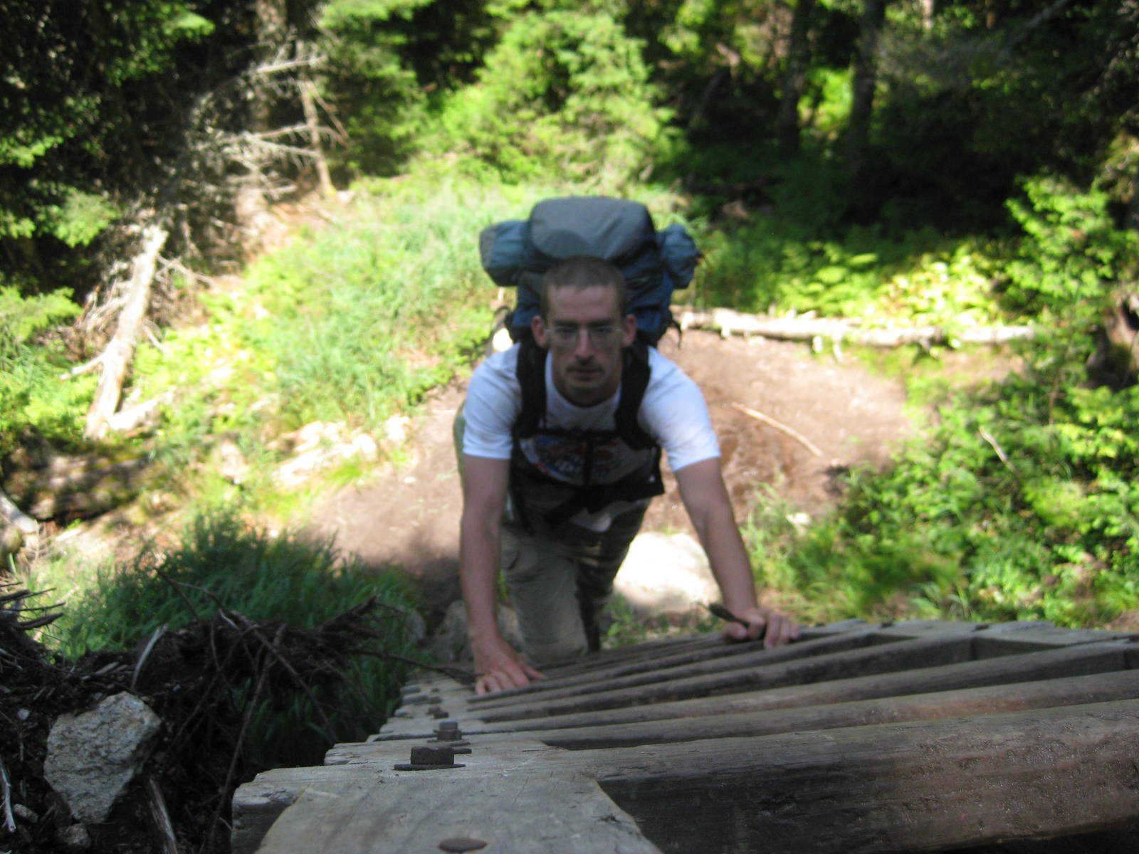
On the back side of Gothics cables were installed to help hikers traverse the sheer, bare rock. The endless ups and downs, most at over 45°, blended together. I held onto trees and rocks most of they day as I climbed over these obstacles. I do not even know if this terrain would be readily passable in rain, with how slick it would become.
It was hard to determine if the unrelenting topography was worse up or down. “Up” I sweated to death and struggled for each step, but “down” was technically more difficult, as my joints pounded into the mountainside, and I worried if I might tumble down the trail.
On the backside of Basin Mountain I finally found a water source, many miles, hours, and elevation change since I ran out. The pool was a several square feet and a couple inches deep. A trickle of water ran into it though, keeping it fresh. I put the out tube of my filter directly into my mouth and started pumping. The cold water was such a relief.

With the endless terrain, slow progress, and being tired of scrambling, at the last intersection I elected to go to Split Rock instead of Panthers Gorge. I still had a gnarly mile until that site, but it was still ⅔ closer and would cut miles from tomorrow. Plus the tallest mountain of the day still stood between me and Panther Gorge.
After this last stretch I was very thankful to reach an established campsite and have dinner. In an ironic twist, after having hiked most of the day without water, I camped within earshot of a large running stream.
Never before have I worked so hard, for so long, to travel so few miles. I have encountered similar terrain before, but never for over twelve miles straight. I did almost no normal walking along a dirt trail, instead always climbing up and down rocks, much of the time having to use my hands. All too early in this day I stopped having fun.