Home » Adventures » New Zealand Extended Holiday » Te Urewera NP
Route I Walked
25 km
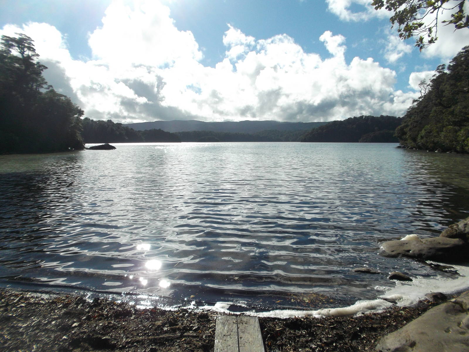
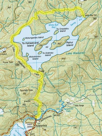
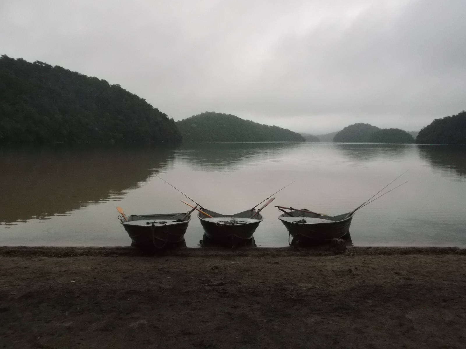
While waiting for transport to tramp around Lake Waikaremoana, I headed up to Lake Waikareiti to spend the night. I had a nice stroll uphill and then along the isolated lake. At Sandy Bay I met a bunch of fishermen and hunters up for the weekend. They were generous enough to share some of their tasty spoils with me, and we had an enjoyable evening around the campfire. The next day they took me out on a rowboat with them fishing. The lake was very forthcoming, and we landed a good catch in a couple hours in the boat. Besides fishing for the first time since I was a wee one, spending time on the water was great. All too soon though, it was time to talk back out the way I came in just the day before.
Route I Walked
43 km
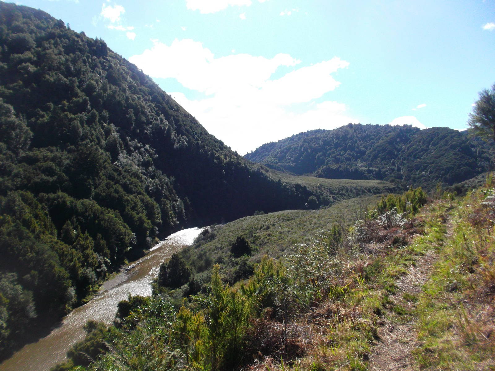
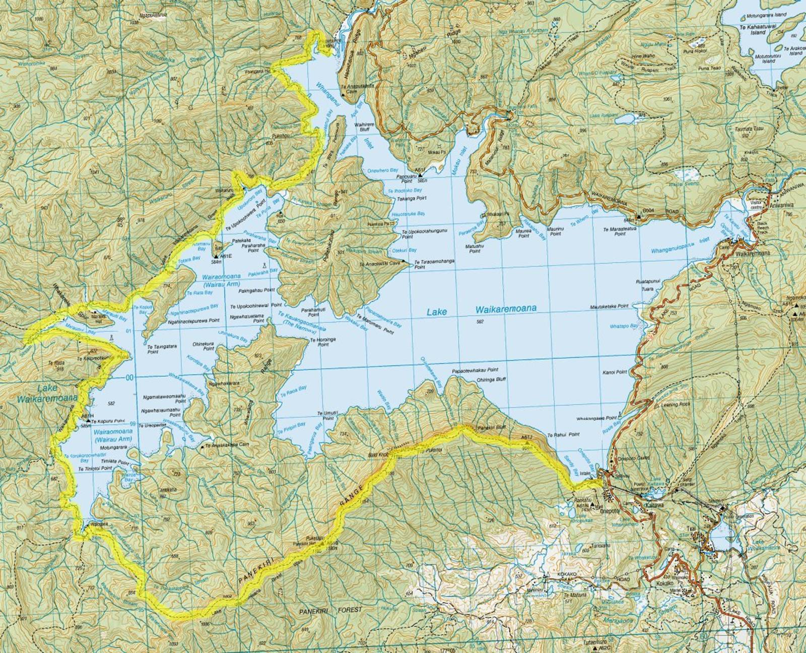
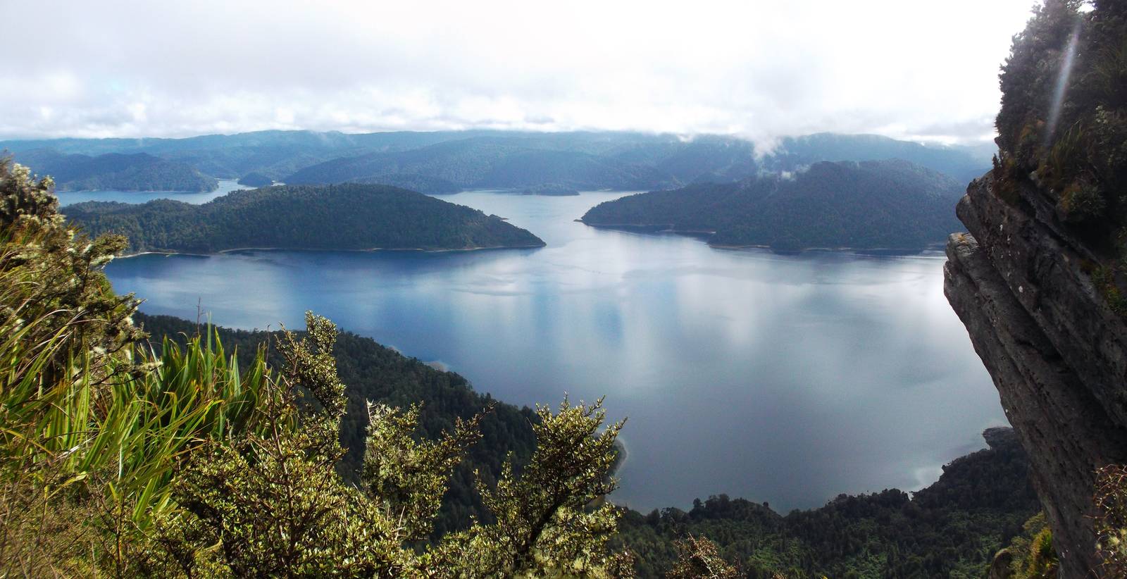
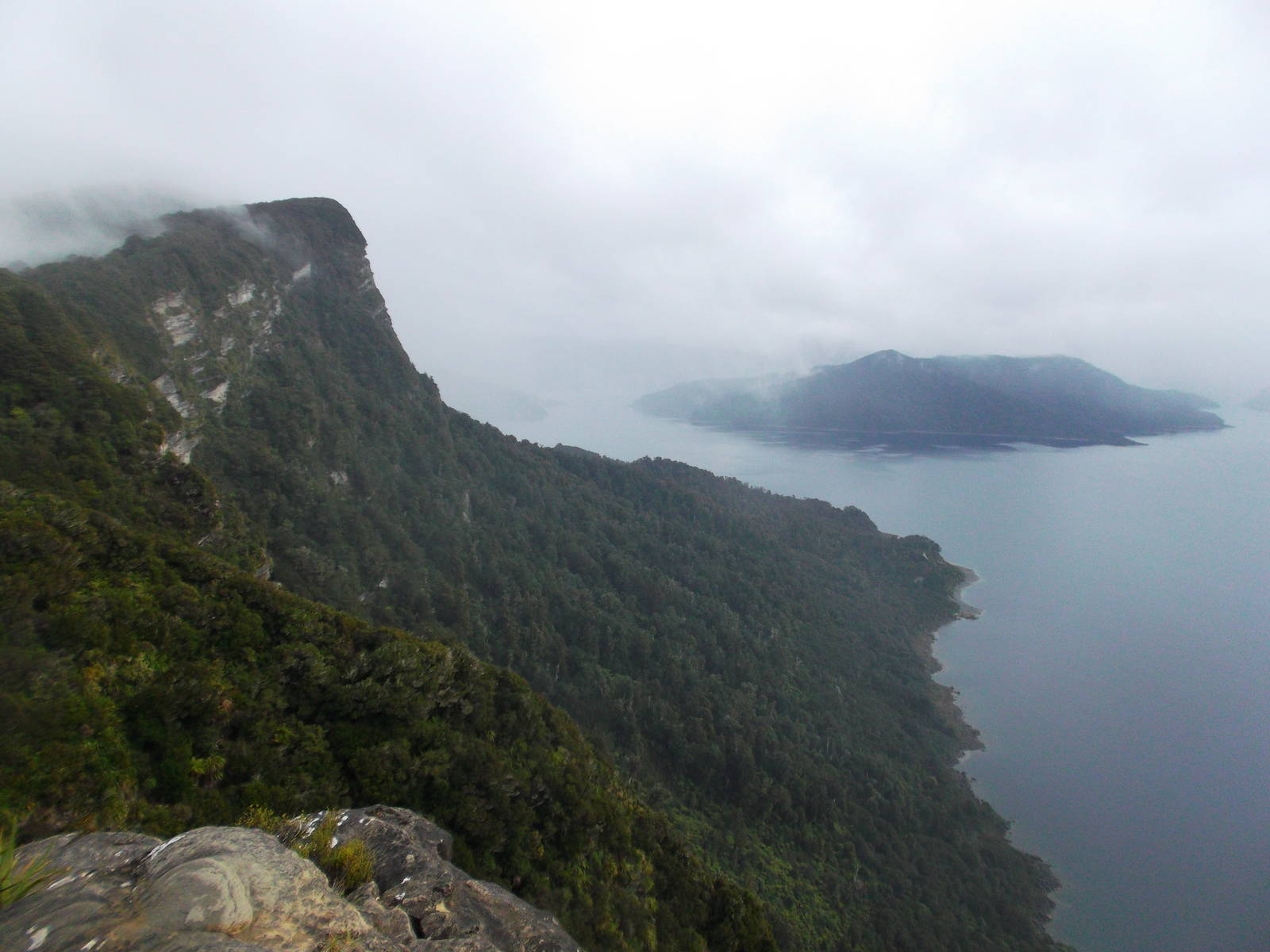
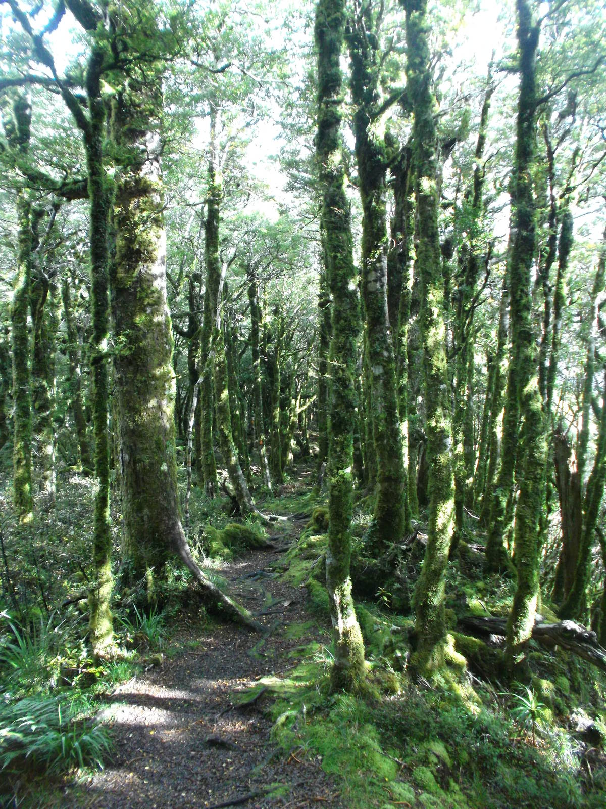
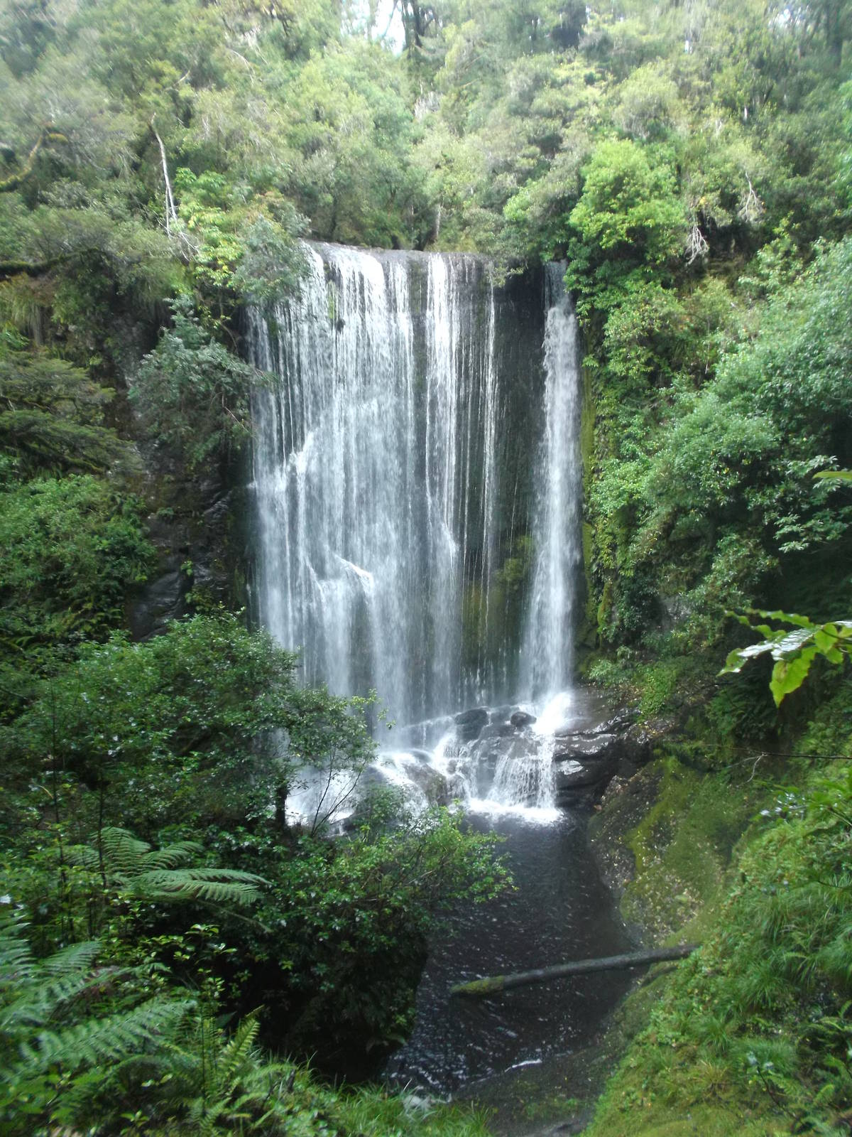
After a long and windy drive across remote, unsealed roads, I was back in Te Urewera to walk the Lake Waikaremoana Track, mostly completing all of New Zealand’s Great Walks (except the fully booked and overly expensive Milford Track). I started from Onepoto Bay, and the initial slug up Panekire Range led to great vies from high above. Some clouds occasionally encased the ridge, but I was mostly able to gaze out at the massive expanse of water and surrounding forests. Large swaths of thick woods with all the trees covered completely in moss occupied this ridgeline. They were spectacular at which to look, and I enjoyed their enchanted feel. The first day along the ridge was the highlight of the walk, but I still enjoyed the rest of the time around the pond. I rained quite a bit (I was in a rainforest after all), making the track quite slippery in spots, and I landed on my butt a few times. The track was in decent condition overall, but seemed merely like a normal track and not the immaculate highway found on the other Great Walks.
While camping at Waiharuru Hut, I encountered a group of volunteer Kiwi Spotters. They were spending several days recording kiwi call counts on a nearby peninsula. They had boated in, bringing along the kitchen sink, and were a generous bunch sharing their voluminous meals with me. Unfortunately while there an overnight storm came through and wreaked havoc with my tent. Once again a pole broke, this time from an unexpected wind gusts hitting it broadside. Thankfully this night was my last, and I had a nearby solid hut to peacefully ride out the rest of the night’s weather.
The next morning held an easy stroll along the lake to the water taxi stop, and then a choppy ridge back to the motor camp.

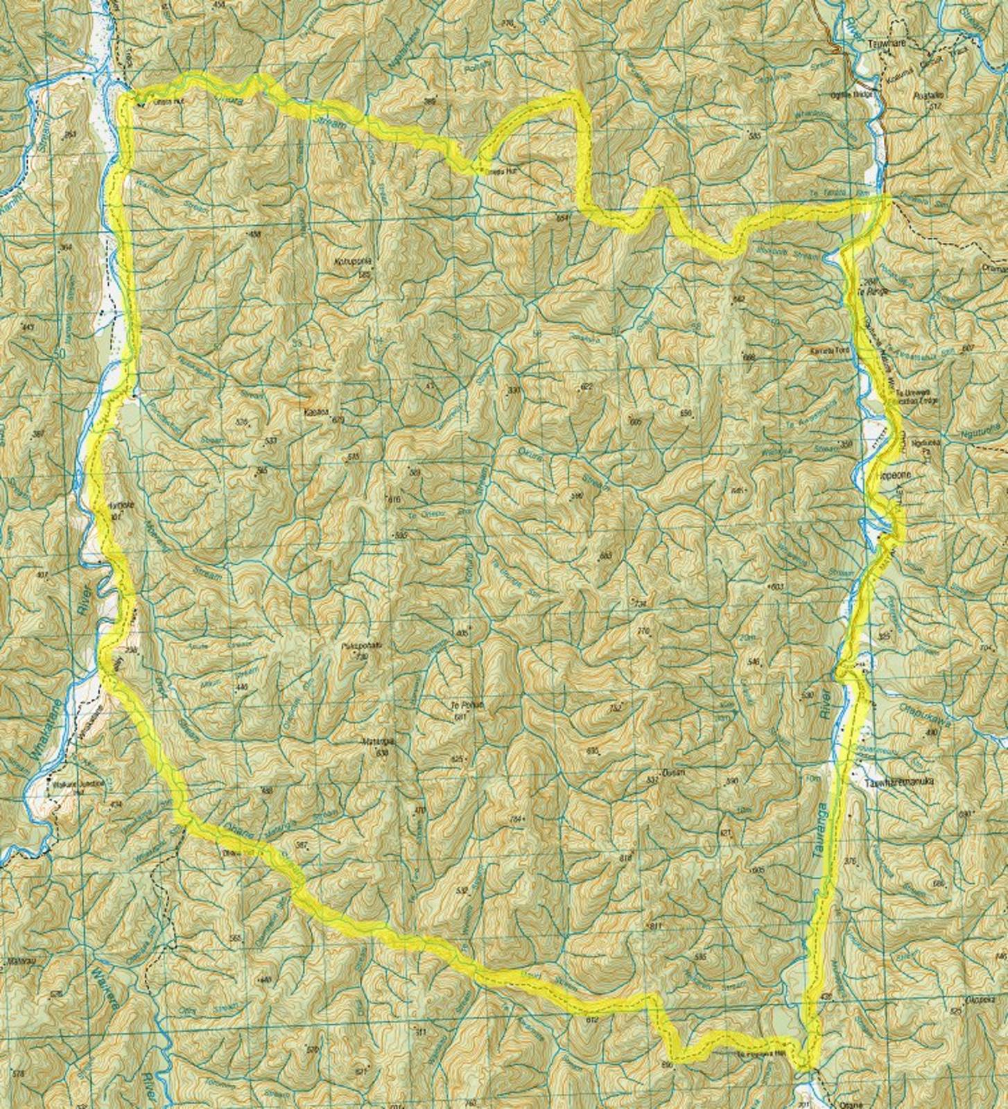
Route I Walked
45 km
Having stepped foot in every other National Park in New Zealand, I headed to the remote Te Urewera National Park to complete the set. My temporary travel partner and I chose the north end of the park, starting in the Matahi Valley. We did not have much first hand intelligence, but did possess a DOC brochure with route descriptions and a basic map, which had many intersecting tracks we figured could form our own loop circuit. We did not start till late morning, and a less than detailed map combined with DOC signage being less pervasive than other National Parks left us improvising a circuit towards Ohane Stream.
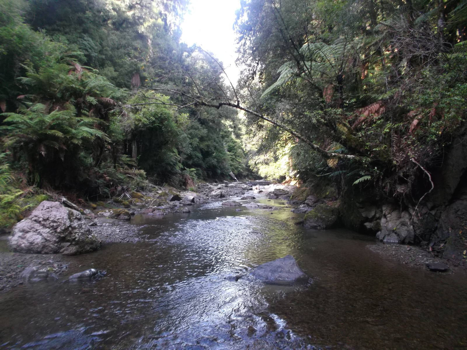
We thought plenty of daylight remained to reach the next hut, but a long climb to a ridgeline and slow passage along a riverbed proved otherwise. The track crossed over Ohane Stream constantly (with an even higher density of fords than the Gila River). They were always less than a knee deep through weak current but still greatly slowed progress. The valley bottom grew dark, and we broke out our headlamps. This predicament in itself would not have been so bad, except the track often grew faint and in the dark determining if it crossed the river was often very difficult. A large number of orange markers were situated along the path, but the darkness made them seem very far apart and invisible on the other side of the stream. To make matters even more interesting, rain fell most of the time. Still, we made our way down, sticking to the track fairly well. Our biggest fear was not seeing the hut and walking past it. A second set of eyes and another brain were great assets through this void.
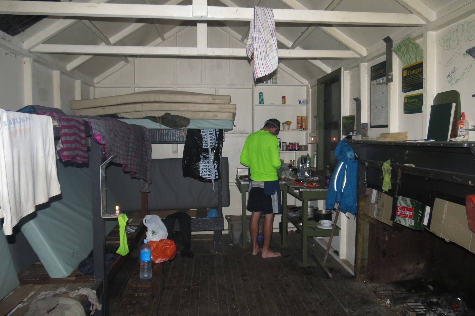
After over a nerve-wracking hour of walking in the dark though, the track climbed out of the riverbed and we found Ohane Hut, letting out shouts of joy upon its discovery. Never had such a simple structure provided such great delight, and drying out and warming up was such a relief.
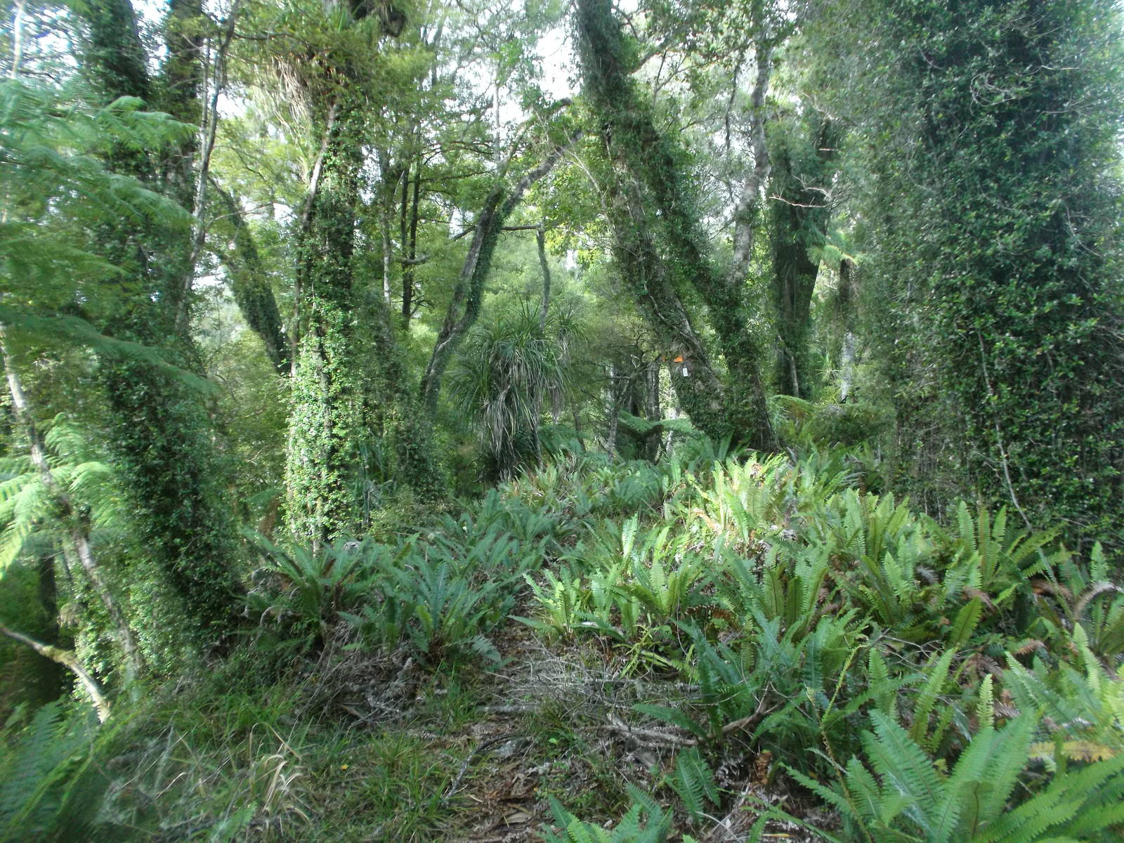
From there we had a much less eventful, but more pleasant walk through the massive and diverse forests of Te Urewera — but in the daylight. A pleasant walk up the Whakatane River led to Ohora Hut — the most ghetto hut I saw in New Zealand — before turning up Ohora Creek for more stream crossings and a climb back over the hills to reach the Matahi Valley again, ending with a road walk back to the van, completing our loop.
Te Urewera did not have the expansive mountain views that many of New Zealand’s other parks possess, but the remoteness, diverse wildlife and plants, and gigantic symbiotic trees still made this area a great spot for a walk — as long as it was in the light