Home » Adventures » Santa Monica Mountains » GPS Tracks
This was my first major adventure where I got to take my GPS along to aid navigation (I need all the help I can get) and also record where exactly I went. The GPS tracks ended a little early and are incomplete because of unforeseen circumstances.
Here are some pretty pictures I generated postmortem from the GPS data:
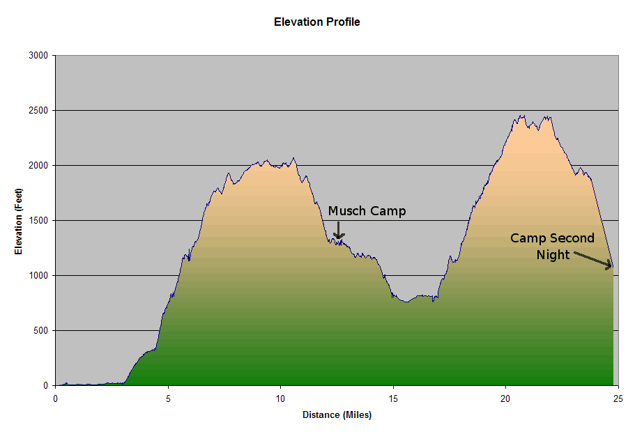
Elevation Profile of my hiking.
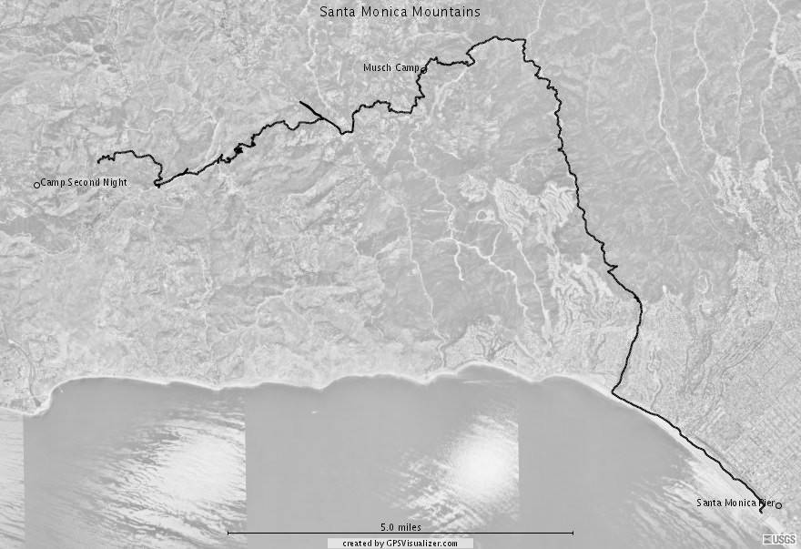
Satellite image overlay. Generated by GPS Visualizer