Home » Adventures » New Zealand Extended Holiday » Kahurangi NP
Route I Walked
125 km
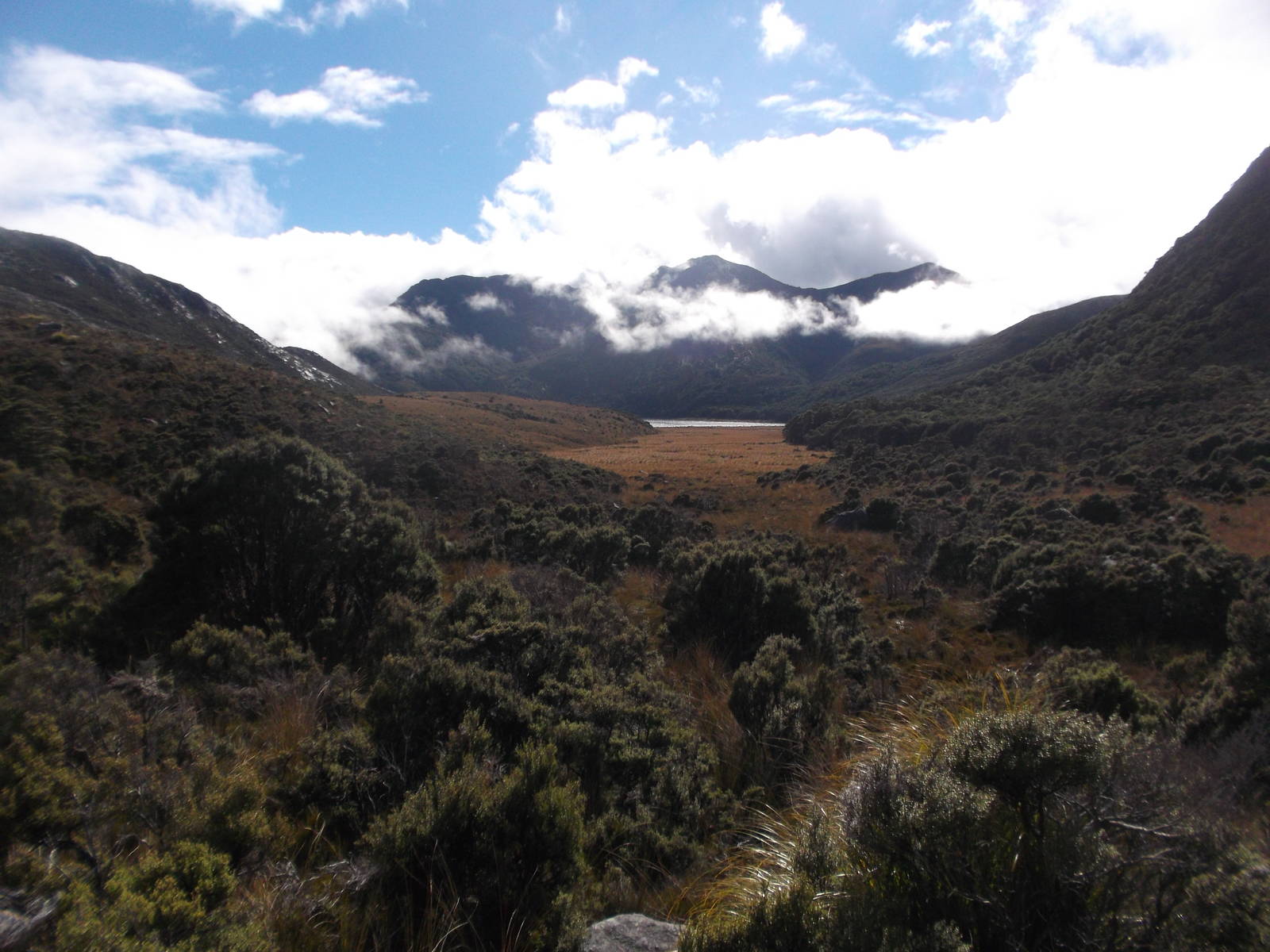
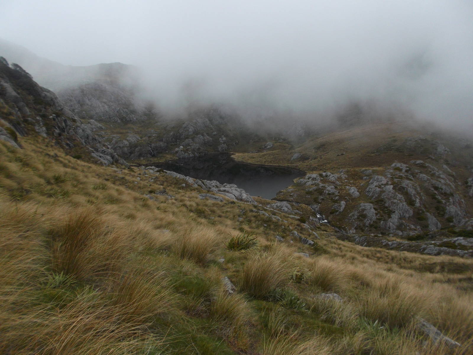
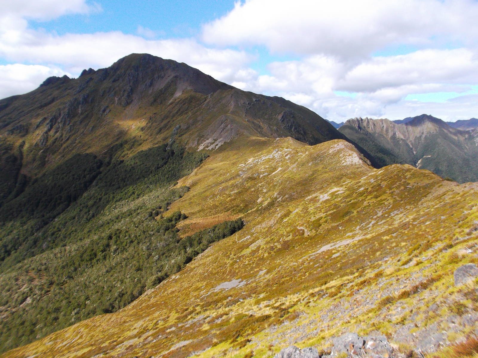
After nearly skipping Kahurangi National Park, I instead found myself on a ten day journey through New Zealand’s second largest national park. In order to enable a self-shuttle over a week later, I road walked from the Brown Hut carpark at the end of the Heaphy Track towards the Boulder Lake trailhead — a little further than initially anticipated. I did manage to snag a ride for a few kilometers on the lonely, unsealed road though, so on the track a walk through steady rain while hopping over deep, but narrow limestone slots got me to the hut before dark. From there I trekked along the Douglas Range — sometimes in thick mist with no visibility, while other times the weather cleared and exposed the massive mountains leading endlessly in all directions. When clear the tops were great, and I enjoyed my walk along the ridgeline. I was the first person to sign the hut book at Lonely Lake in three weeks, and the hut books there dated back to 1977. Although not originally on my itinerary, after a major navigation error (I sidled along the wrong side of Kakapo Peak), I ended up crossing its summit as the quickest way back to the track.
There were no lines on the map or DOC maintained tracks or signage, but a good amount of tread led along the Douglas Range — although sometimes it was very faint. At one point in the past track had been cut. I now needed the DOC route guide, topographic maps, and I was thankful for my GPS, but I followed track most of the way. Still, this walk was the most I got off track in New Zealand.
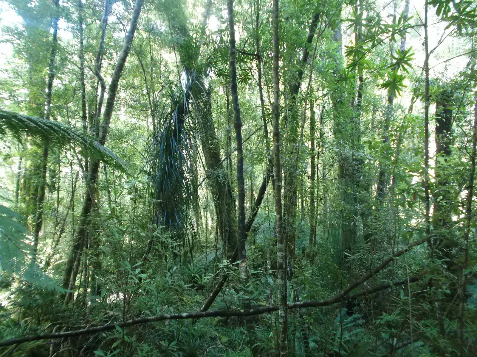
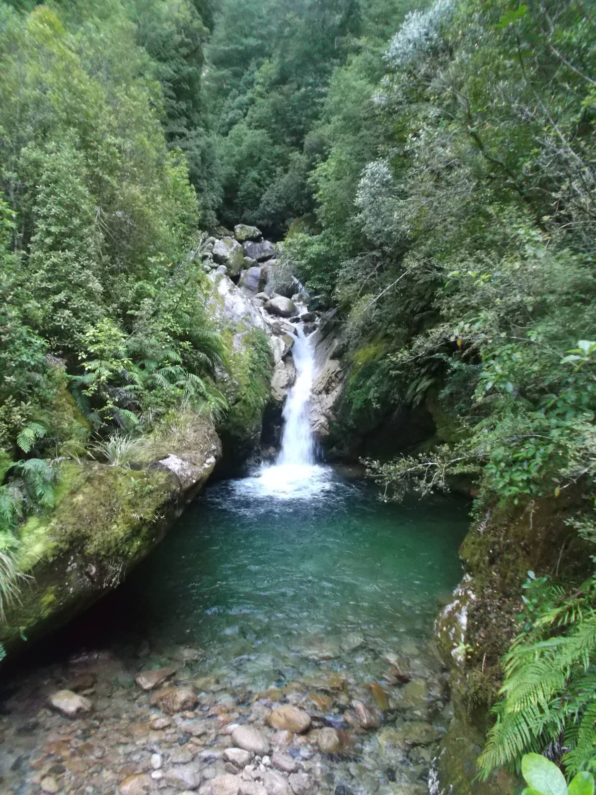
After three days of wandering about the mountain tops and not seeing another person, I emerged to a rocking Fenella Hut, with about a dozen adults and eight young kids crammed into a twelve bunk hut. A quick stroll down the Cobb River led to another climb, this time to Peel Lake. A last minute addition to my already long expedition to go over Mt. Arthur was aborted when I awoke to heavy clouds and a forecast for more. They of course instead burned off, but heading directly to the Leslie-Karamea Track avoided a nearly impossibly long death march otherwise. The walk along the Leslie-Karamea and Wangapeka Tracks were nice strolls through the bush alongside steams, although this area received more use from anglers than trampers. The one possibility for expansive views at Little Wanganui Saddle was not to be as of course it was encased by clouds. After completing the rest of the Wangapeka Track I started walking towards Karamea, which was again longer than expected. Thankfully though I got a ride after about an hour along the road.


Route I Walked
78 km
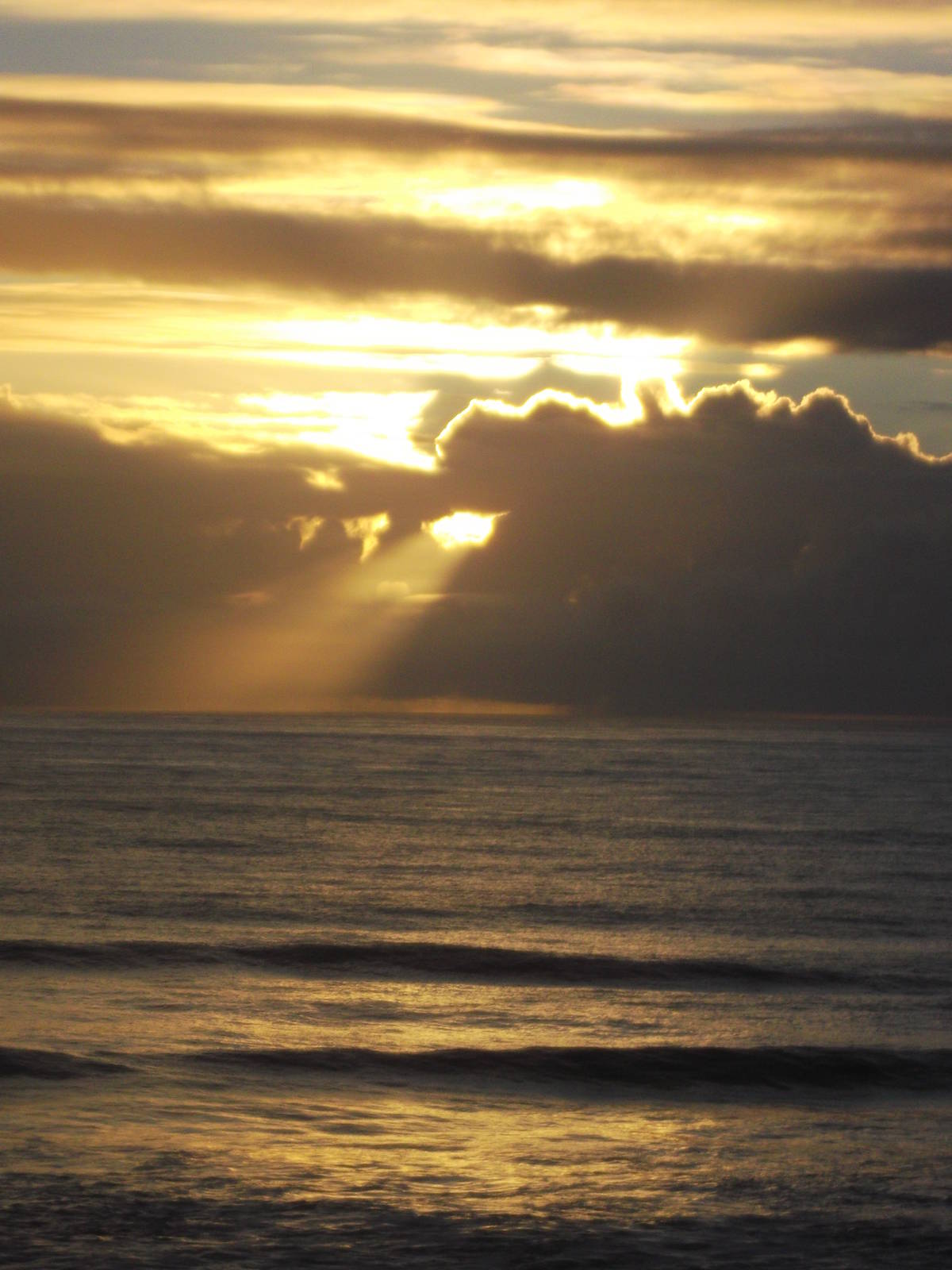
In order to self-shuttle back to my van after an off the beaten path tour of Kahurangi National Park, I found myself walking out of Karamea towards the Heaphy Track, having only spent a few hours in civilization. With my newly refreshed iPod keeping me company, I walked the entire way to Kohaihai. On the track itself, the coastal stretch of the Heaphy was great. The rough, rugged coast butted directly into the unhindered Tasmania Sea, with large waves crashing even in calm conditions. Palm trees grew right to the edge of the beaches, and I enjoyed numerous long, solitary walks along sandy beaches. At night the wave’s percussion ensemble lulled me to sleep. This stretch was much better than the more popular Abel Tasman Coastal Walk, although if you are looking for kayaking, swimming, and bikinis, that still might be a better option.
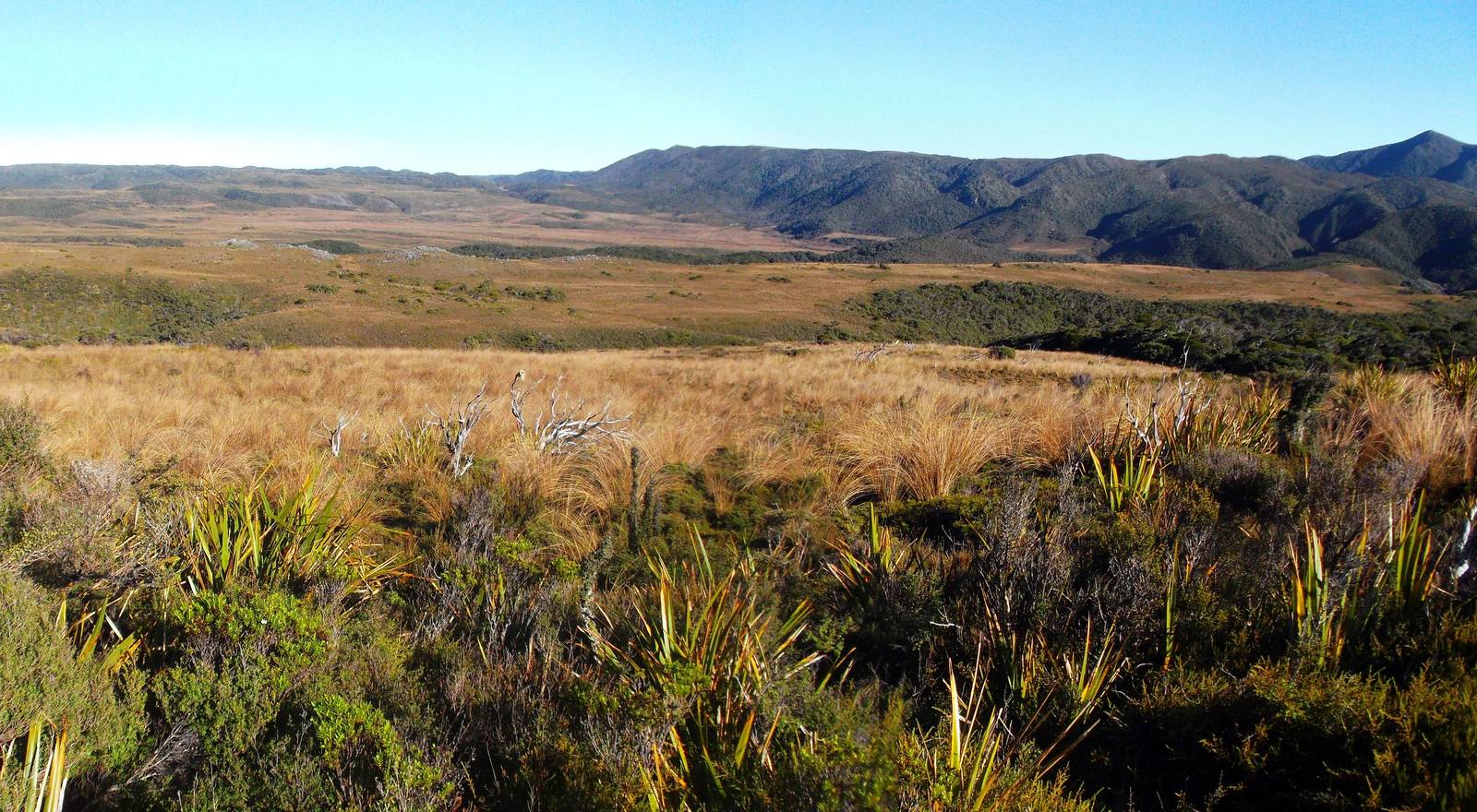
The track turned inland along the Heaphy River before a very gradual, but seemingly endless climb led to the tops. I was still below bushline, but the plant life thinned revealing low clouds that blocked any views. The sky eventually cleared though, providing nice views of Gouland Downs and the surrounding mountains and plant life. Since I was running low on food I skipped any additional side climbs near Perry Saddle, and another equally gentle and endless slope, this time descending, finally brought me back to my van, which still waited patiently for me after ten days.