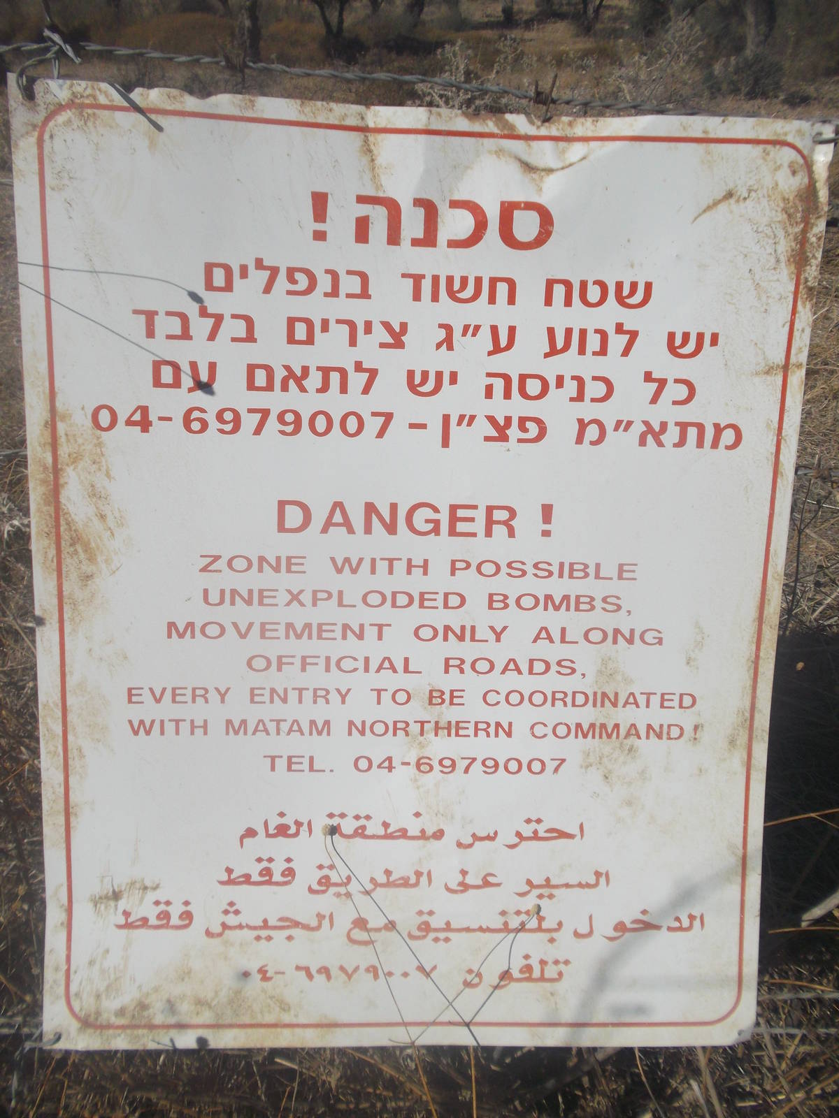
Unexploded bombs sign
Home » Adventures » Holy Land » Jesus Trail » Lavi Forest to Migdal
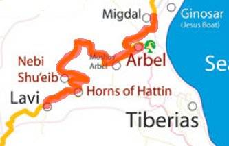
Route I hiked this day
From Lavi Forest, the blazed trail diverged from my GPS route and paper maps, but I followed the latter anyway since I wanted to see the remains of an ancient Roman road. I found them (I think, there were a lot of rocks scattered around everywhere), but they were not much to look at. Still, it was amazing that these stones were still in the same place as when laid by the Romans a couple thousand years ago. And this road really did (at one time) lead to Rome!
Later I walked past a Holocaust Memorial at a cemetery, and then onto the Horns of Hattin. This site was great vantage point of the surrounding area, and also the spot where the Christian army of the second Crusades were defeated.
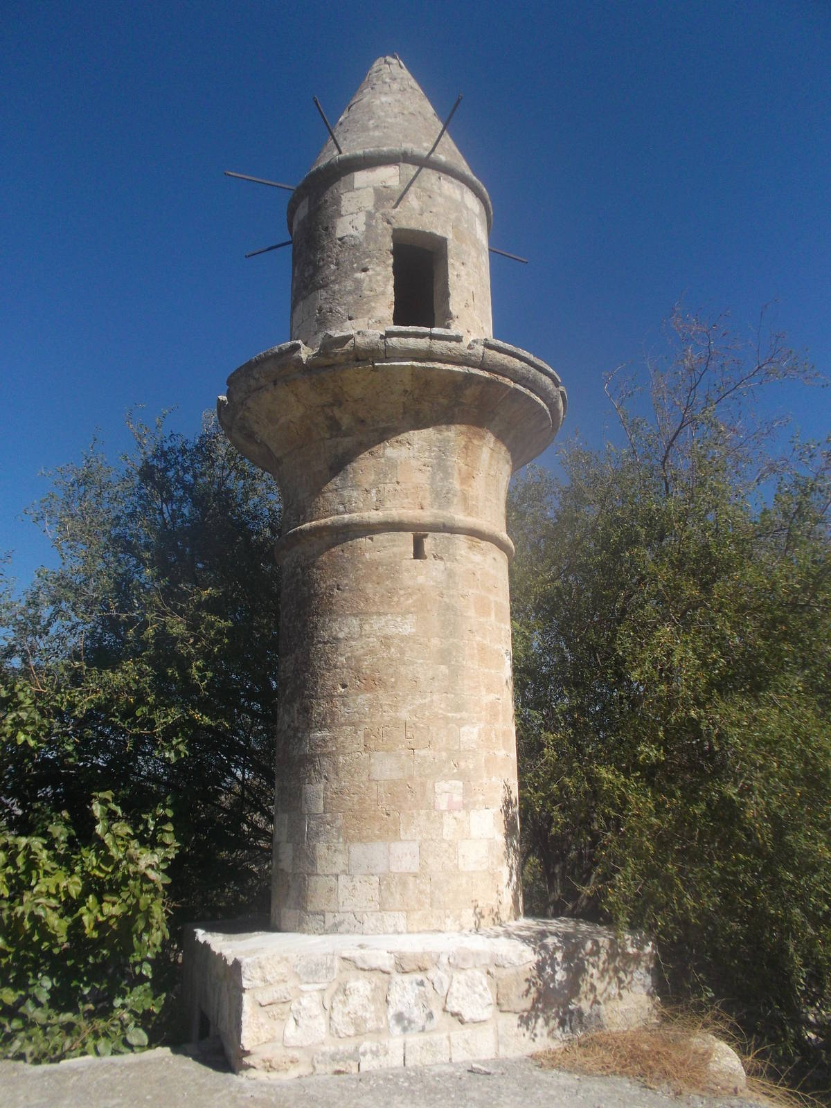
The next interesting place were the ruins of Hittin. Little more than a falling apart mosque remains. This city was depopulated during the 1948 war. Apparently many Arab cities had similar fates, and whether the citizens fled the fighting or were forcibly removed is a contentious matter. Also the fate of these lands, with Arabs not being able to return, is still one of many issues that complicate peace between Palestine and Israel.
A nice walk through an olive grove and a valley (although a few cows shared the space) led to Mt. Arbel. I skipped more old ruins, this time a synagogue, and stayed in the valley to take the back entrance into Arbel National Park. While hiking up towards the cliffs, I passed a large group of school children going down, who shot me very odd looks as to why anyone would possibly be going the hard way up the trail — no knowledge of Hebrew needed. Near the top was “The Castle,” a fortress built into the caves of the cliffs.
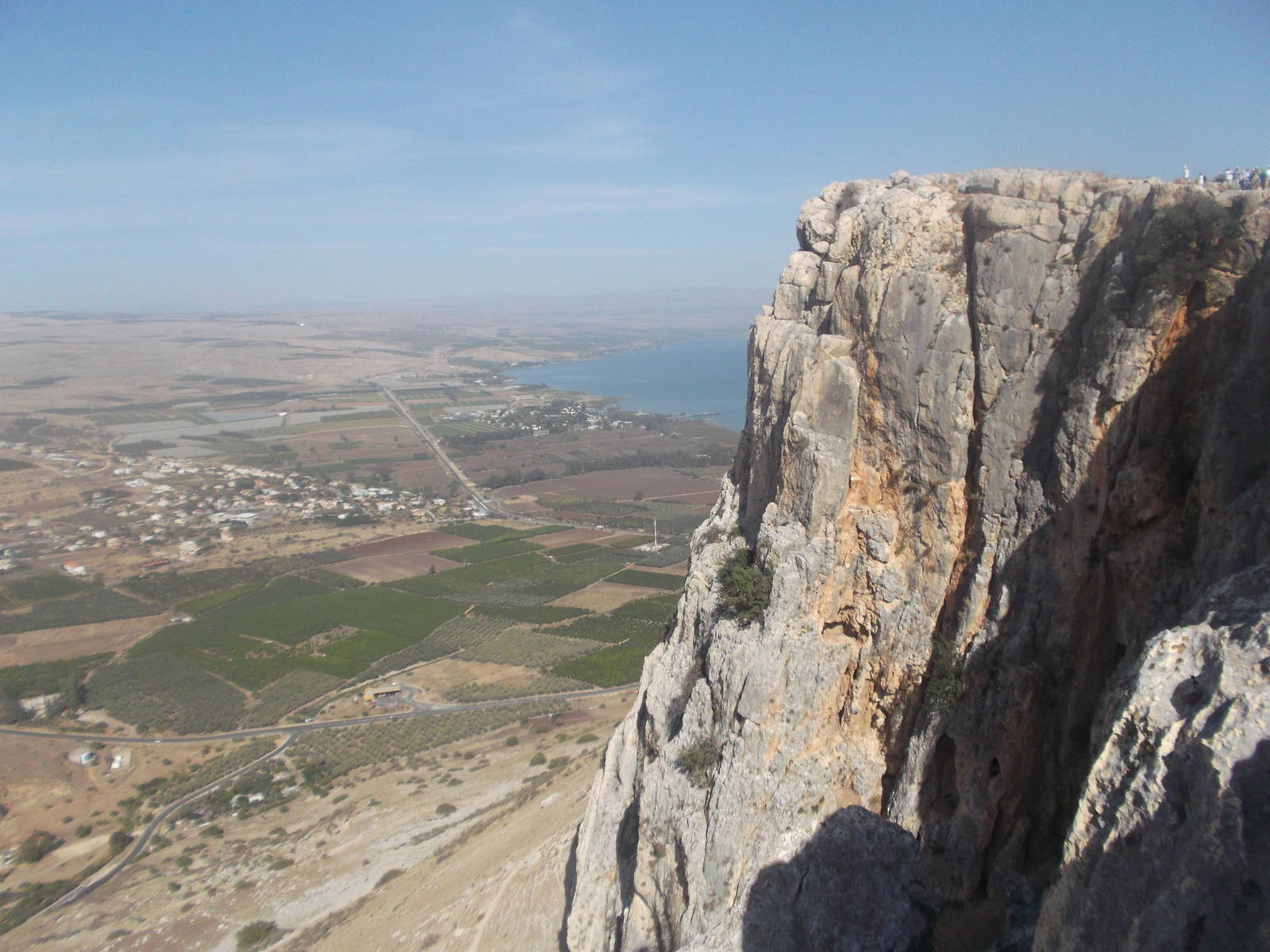
A steep, narrow section that uses iron handholds affixed to the cliff face is on the red trail to the top. I tried going through this section two different times in two different directions, but both times hundreds of school children were going the other way on the ladders, so I never had a chance to traverse these. I instead used the black cliff trail, which had great view of the Sea of Galilee, the valley, and cliffs.
I dropped back down the steep descent from Mt. Arbel to Wadi Haman and Migdal. I found a small grocery store, restocked, and ate. I had barely carried any food or water while walking, due to the ample resupply opportunities and also complete lack of planning or preparation on my part. I was spending the night in the area but could not find the alleged beaches with camping shown on my map. Asking for help was a bit hard when I did not speak the language, so I once again just found a quiet spot out of the way to spend the night.
Unexploded bombs sign
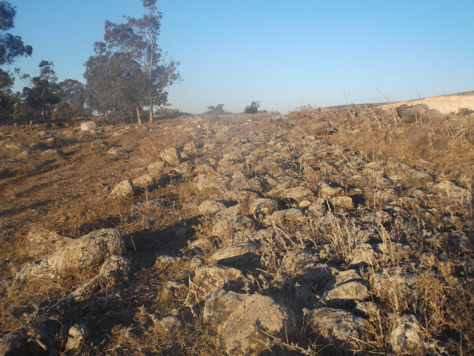
Ancient Roman road