Home » Adventures » Grand Canyon » Escalante Route

Route I hiked this day
I retraced my steps from my campsite back to the intersection of the Tanner Trail, and shortly downstream found the real Tanner Beach and official campsite with pit toilet. My detour the prior evening upstream had been completely unnecessary and out of the way.
I had a nice stroll along the Colorado River in the bottom of the Grand Canyon as I hiked the Escalante Route. The perspective was very different down there than up on the rim. I usually could not even see the actual rim, with the lower cliffs obstructing line of sight. Therefore the overall size of the canyon was diminished and seemed much smaller than on top. Although I did get a better appreciation for the canyon’s massive size down here, standing next to giant cliffs and walls climbing a thousand feet straight up, all the while knowing the limit of my vision was less than halfway to the top.
The trail made a detour inland to avoid an impassable section next to the river by Unkar Creek Rapids, where a sheer rock cliff composed one of the banks. It seemed like I climbed halfway back up to the rim as part of the detour around that obstruction. The views were breathtaking along this path, but it took a couple hours to move only a river mile downstream.
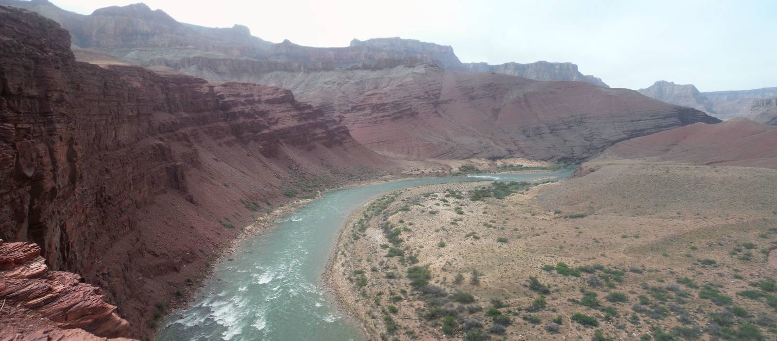
Unkar Creek Rapids
After paralleling the river once more, the trail again turned inland along the rim of Seventy-Five Mile Creek, whose vertical rock walls plunged another hundred feet down. I made a wrong turn at the end of this canyon, not realizing the trail continued in the bottom of Seventy-Five Mile Creek. I instead stayed up high before the trail faded to nothing, and I realized my mistake. I double backed for the much nicer walk through the bottom. Seventy-Five Mile Creek was narrow and curvy, with tall, smooth walls that reminded me of the entrance to Petra.
Although in a remote section of the Grand Canyon, all day many loud helicopters continually buzzed overhead, ferrying tourists on their sightseeing jaunts. Although I am sure the views were nice, these loud birds were very annoying to me on the ground.
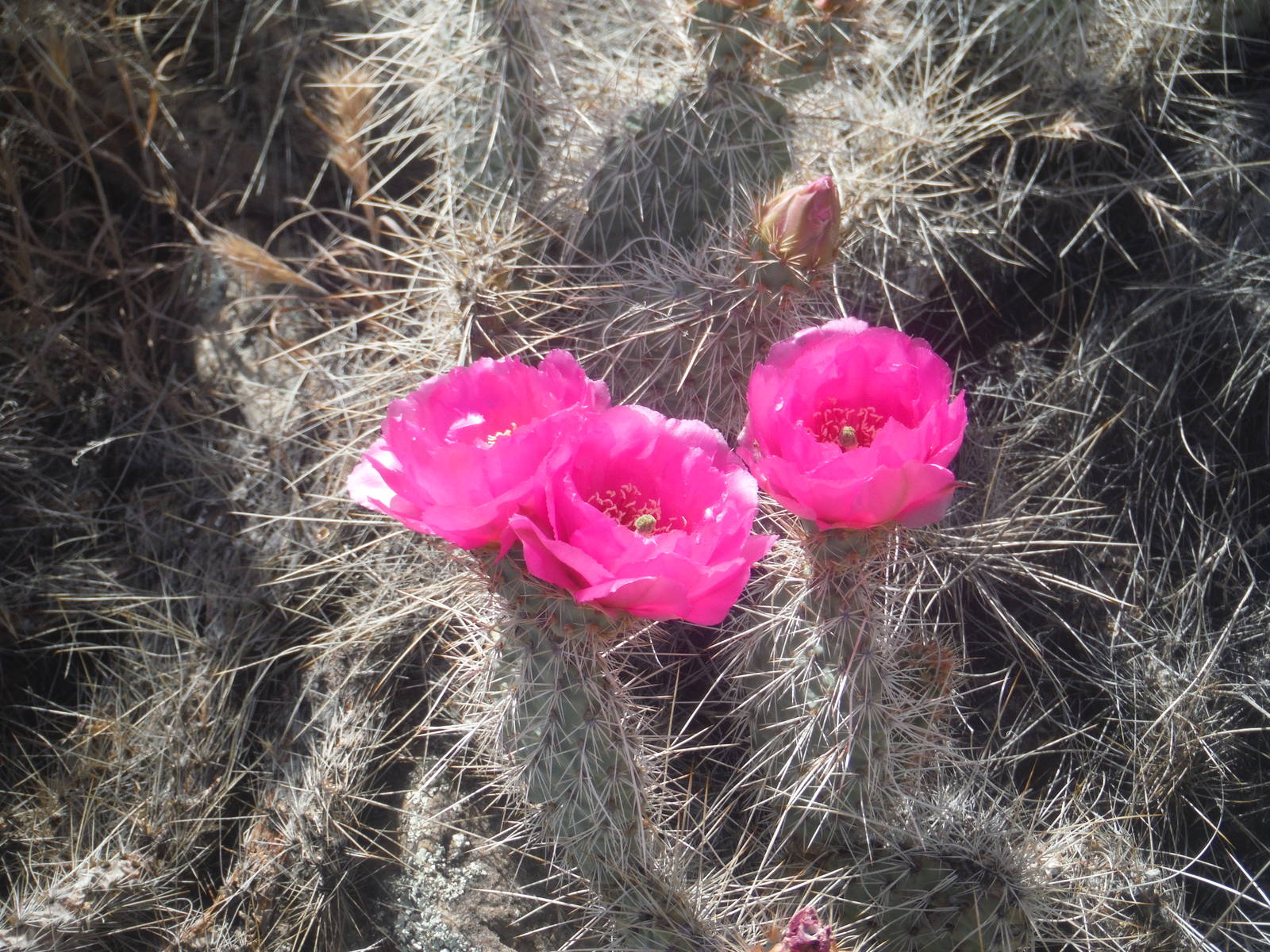
Cactus flowering
On the last stretch to Hance Rapids the Escalante Route detoured again — this time vertically — with a hand over hand scramble up an almost vertical rock face, which at least had decent hand holds. Shortly afterwards was a corresponding dicey descent down steep, loose rock.
I camped next to Hance Rapids, alongside the Colorado River. This may be my last water source for the trip, even though I still had another night, almost forty miles of hiking, and a 5,000ft climb. I failed to get a water report before departing (oops) and with the dry weather I did not have much confidence in the seasonal springs. I would have to become a camel as well as probably end up very thirsty. Hopefully I would get lucky on a water source though.