Home » Adventures » CDT » Journal » Montana » The Bob
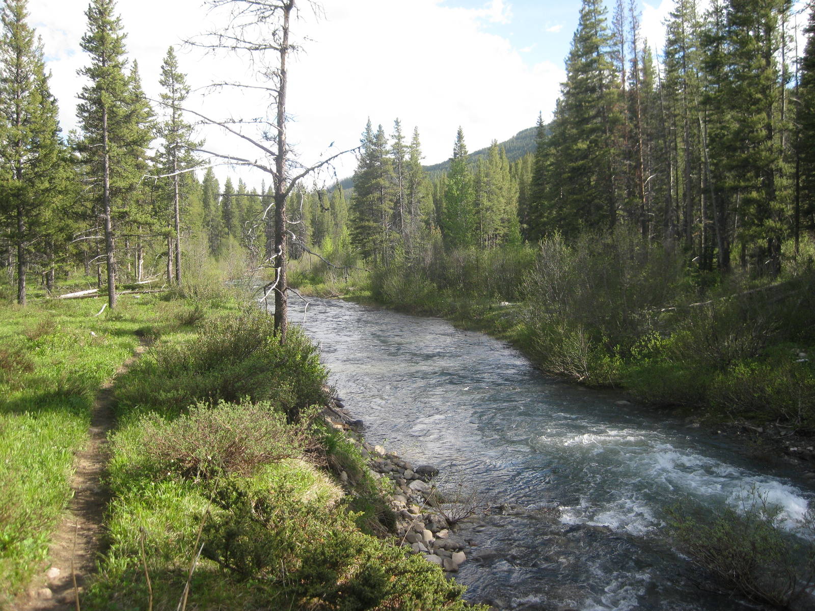
Transient and I hiked out of Glacier and into Mark Twain National Forest. We took the Ley alternate along the Two Medicine River, which had lots of fords, sometimes back to back. The worst was only a little over knee deep with a medium current. My feet held up, even after being soaked most of the day from the river crossings. We camped near the intersection of FR142 and FR103 along a gargling river.
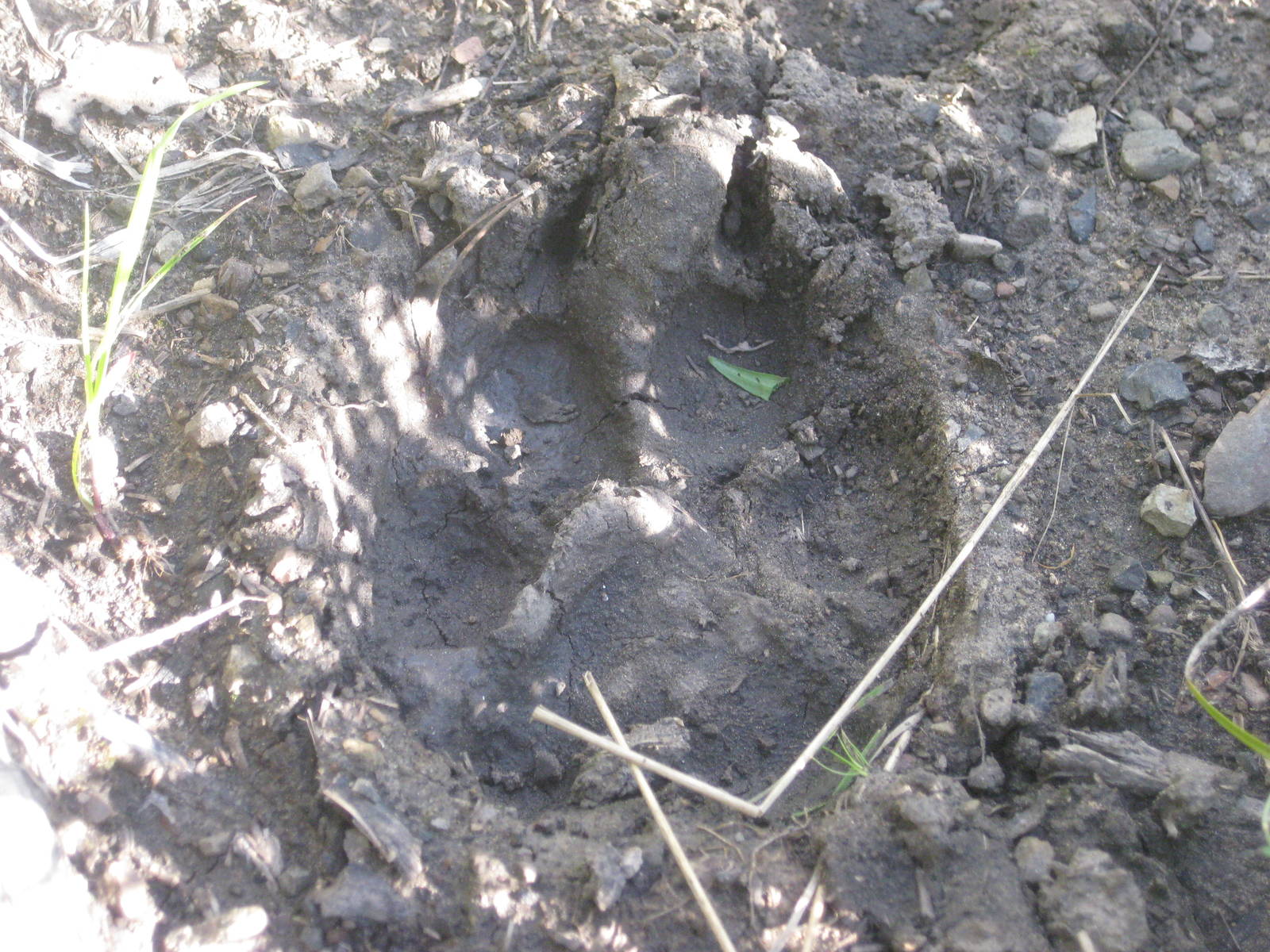
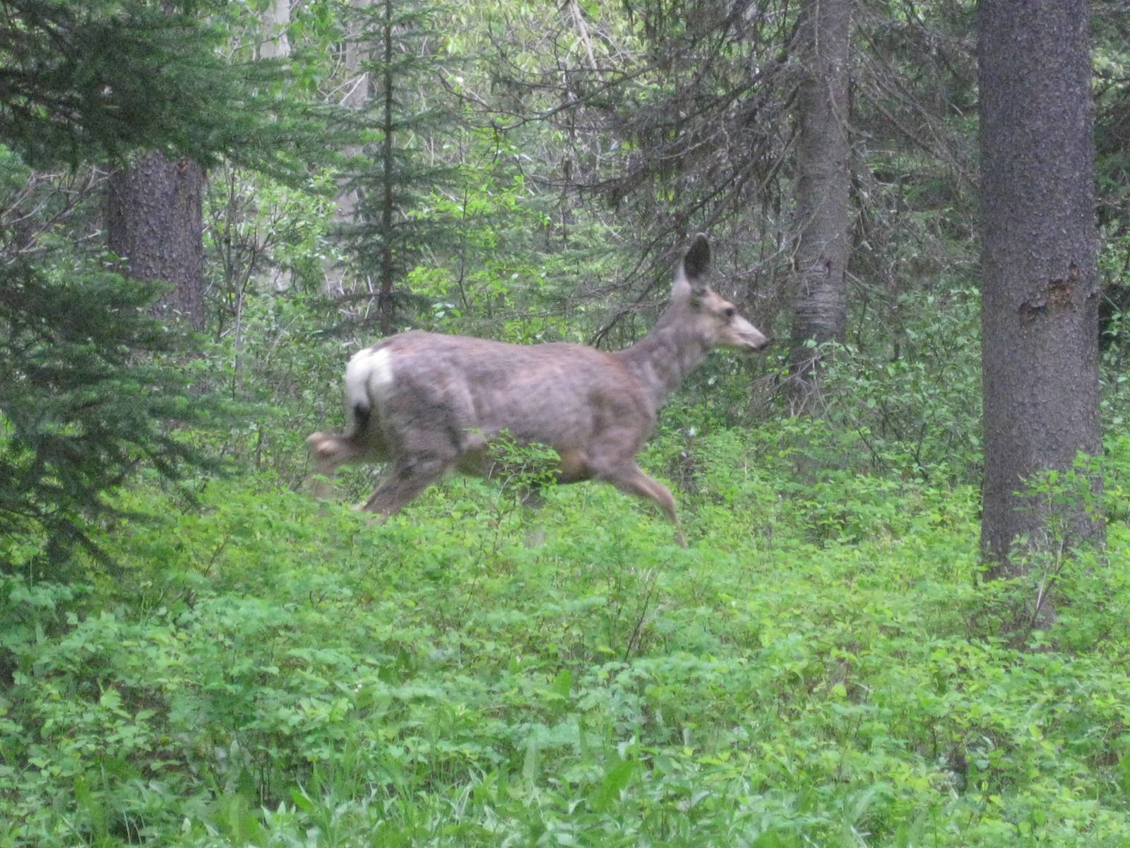
The treks over Badger and Muskrat Passes alternated between mud and snow. I slowly slogged through the sloppy conditions. Hiking down Strawberry Creek was better, though still very muddy from the rain and melting snow. I saw many animal tracks in the path — bears, mountain lion, deer, and elk — although I had not seen any actual animals in The Bob.
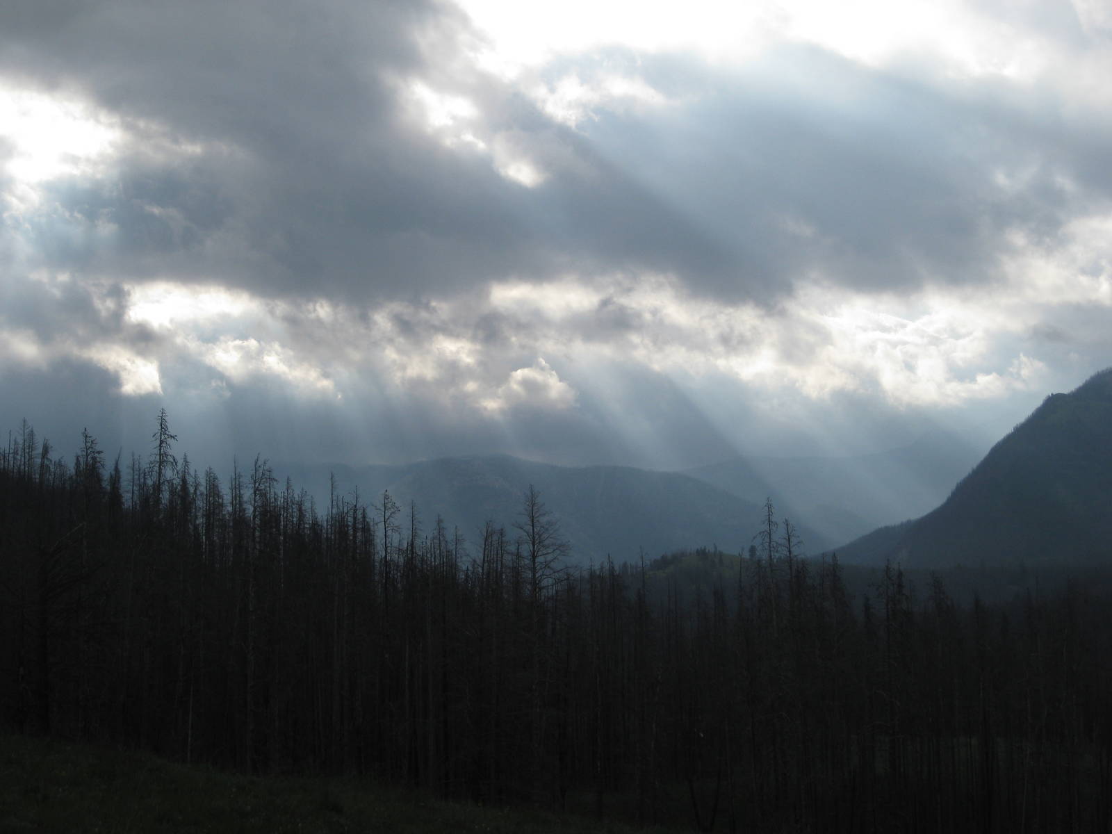
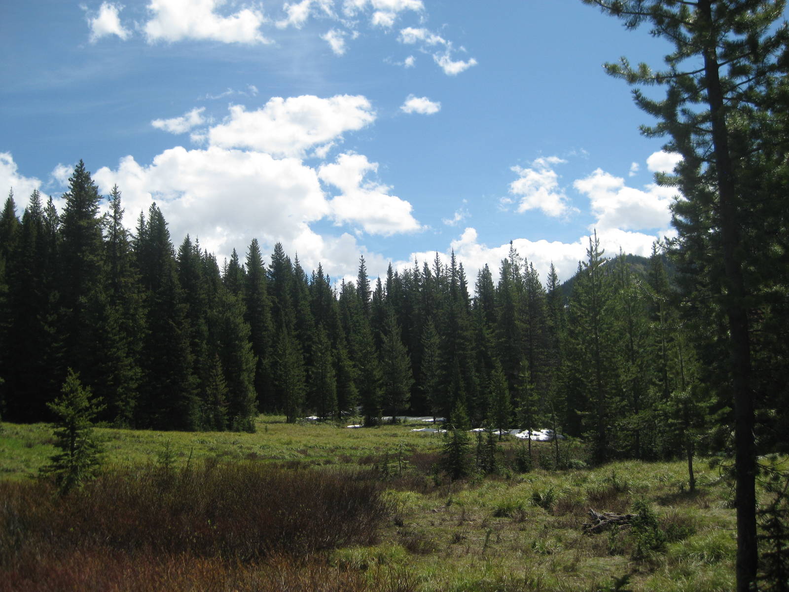
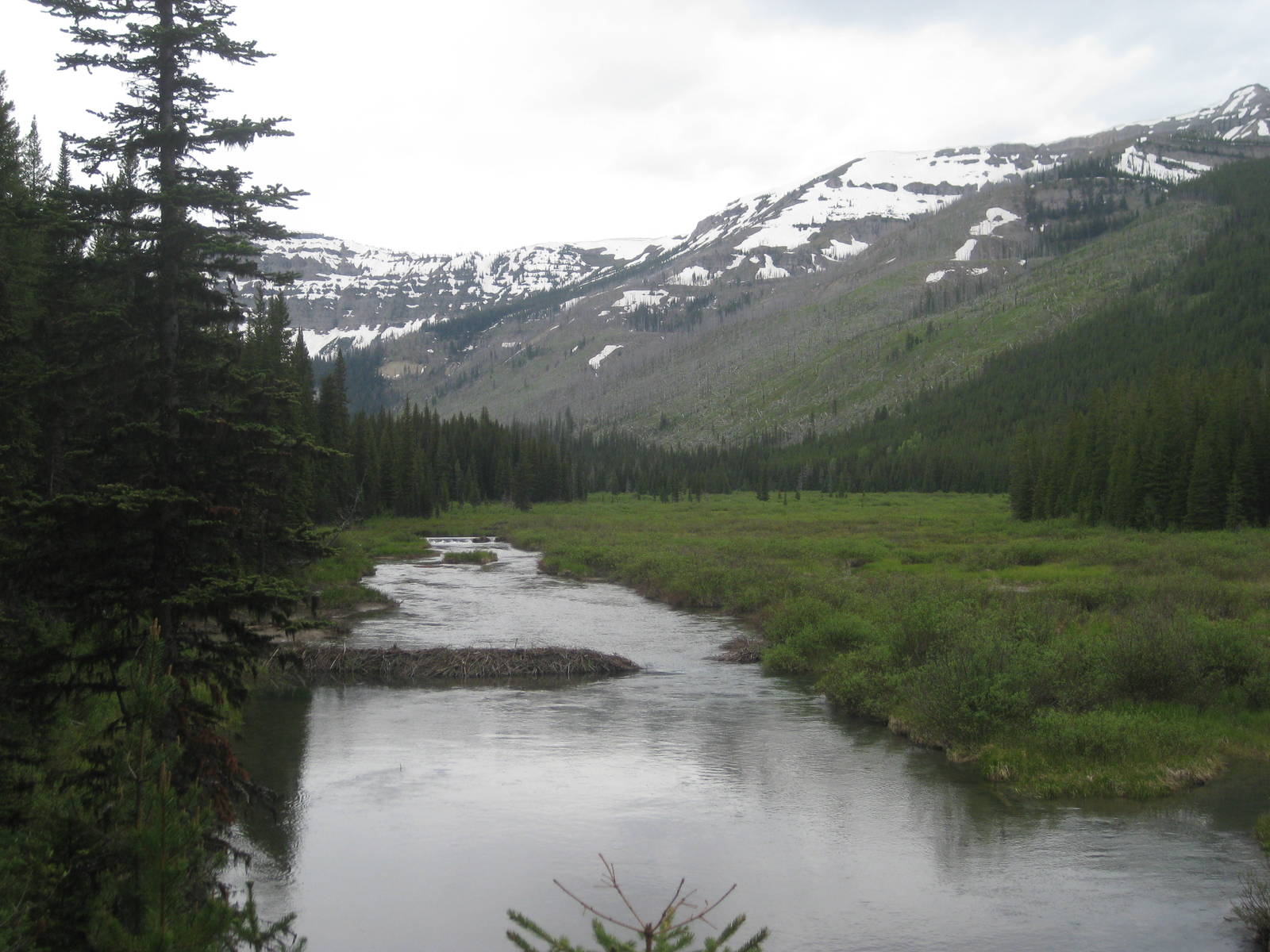
Roaring Lion caught Transient and I in the afternoon, and the three of us hiked the last couple of miles together, camped, and built a fire. Roaring Lion reported that Fuzzy Monkey ended his hike at Summit Pass. The conditions in Glacier were more than he expected, and mentally knocked him out. Too bad, because we had very beautiful weather today, the first without any rain. Blue sky with only a few clouds hung overhead, and the temperature was warm but not too hot. I enjoyed an incredibly relaxing lunch in a meadow — one of the best parts of hiking.
I took the alternate along Clack Creek and the Trilobite Range over Switchback Pass. I think Roaring Lion and Transient took the official CDT, so I might not see them again. Crossing the river at Gooseberry Park was interesting. The water was at least waste deep and moving swiftly. That ford did not seem safe, and I instead crawled over a log jam. The current had perfectly positioned the fallen trees to allow relatively safe passage across the river while staying dry. Without the snag I may not have been able to cross the river without swimming, which I did not trust myself or my gear to attempt.
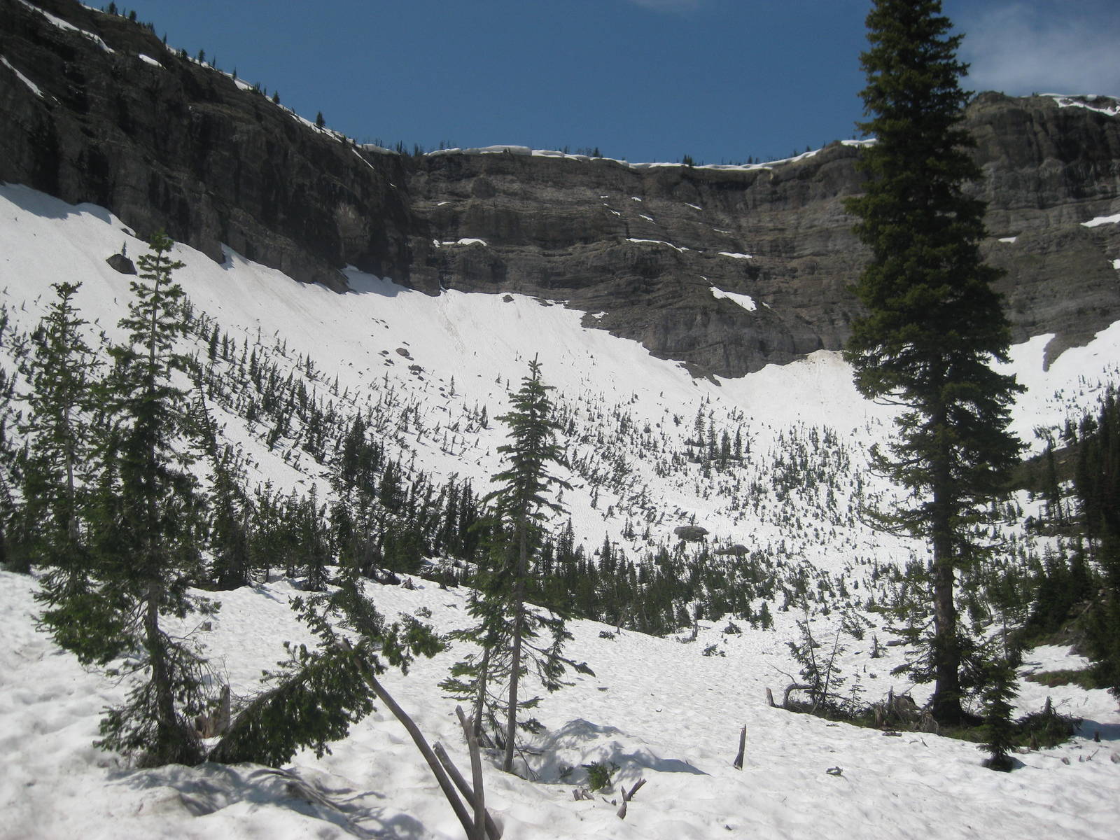
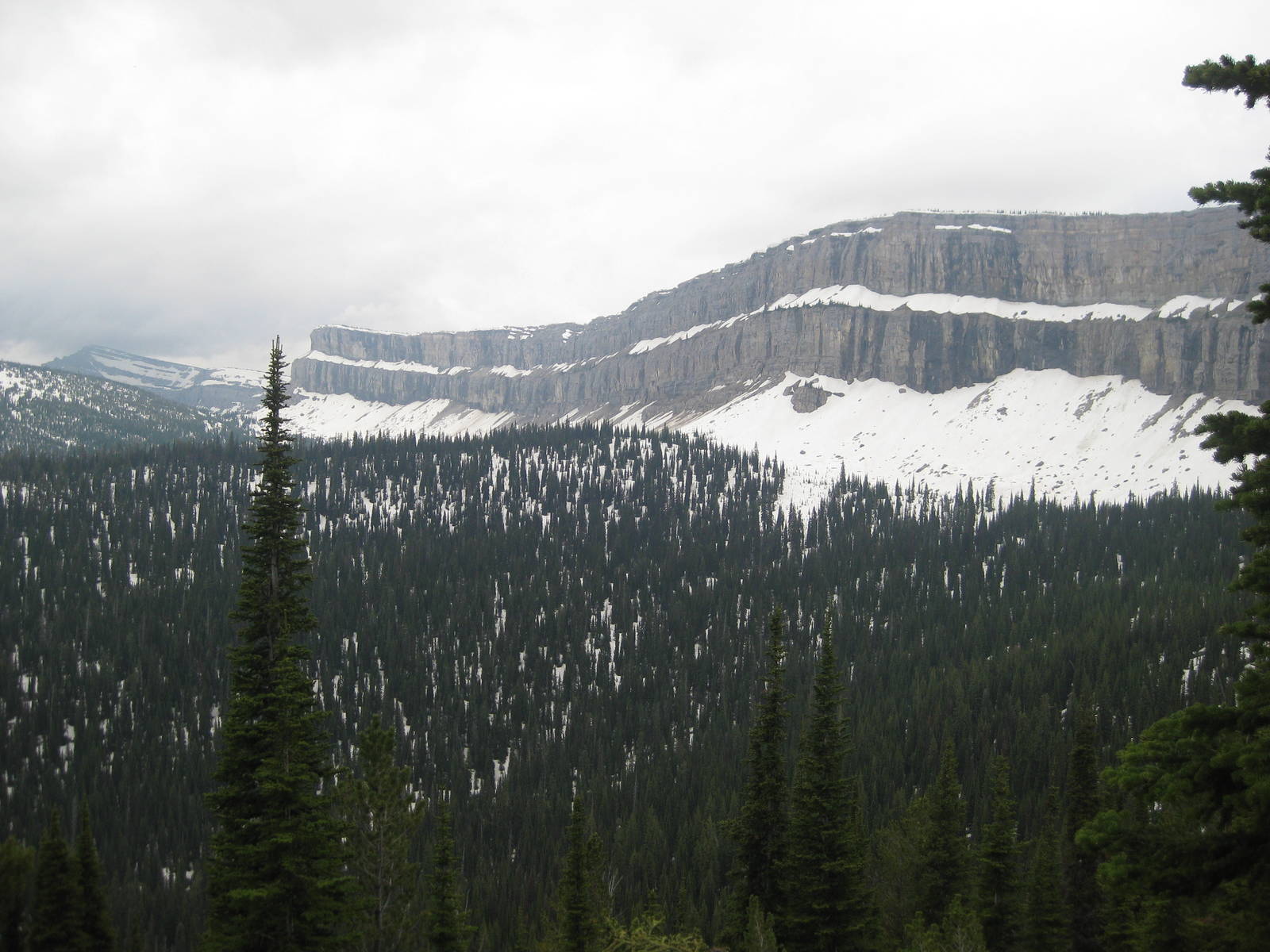
A snowfield greeted me at the top of switchbacks on the other side of Clark Creek. The view was gorgeous though, with big mountains rising around me. I continued through the snow, and the trail disappeared several times underneath, but navigation was still easy. As long as I avoided climbing up the steep mountain on my right or down into the valley on my left, I remained on course. The surrounding distinctive mountains were also easily located on my map.
I still almost made a big navigation SNAFU though, reading the map as the trail descending across the contour lines, instead of rising as it really did. I soon caught my mistake when none of the new terrain looked right.
I also spotted another pair footprints in the snow, which I occasionally followed. Blindly following other footsteps was not wise, since they might be from someone who was lost or headed to a different spot, but they were still a good data point to help with navigating. They were a day or two old and randomly disappeared, but I usually later stumbled upon them again.
Plowing through the snow for hours and always climbing was exhausting. I reached the bottom of Switchback Pass and found it snow covered and looked almost impassable. Turning around here would have been devastating, having to struggle for hours more just to reach the point I left that morning. But without crossing Switchback Pass there was no viable bailout, even with a bushwhack. I kept examining the mountain, eventually scouting a possible route. After a couple hundred vertical feet, I fortunately spotted a another way to the pass that was even snow free and had some tread visible.
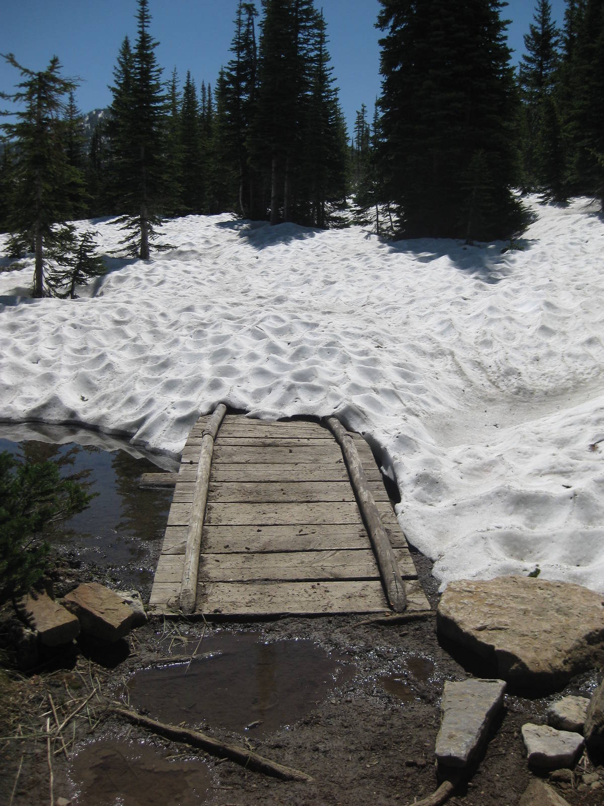
I originally planned to take the other alternate across the divide back to the official CDT, but did not see any evidence of that trail, especially with the snow, so I descended towards Pentagon Guard Station instead. The switchbacks on far side of the pass were buried under snow, so I careened straight down the hill. As the snow thinned I crisscrossed the hillside searching for the trail. Although I was confident in my approximate location, being off trail was still nerve racking, and I was very thankful to find tread.
I pushed on to Pentagon Station, hoping for the luxury of a picnic table. Along with the table though, I discovered a trail crew using the cabin as a base camp. We spent the evening talking, and they gave me a lot of snacks. Here I was in the middle of The Bob getting bags of M&Ms and fresh fruit. The workers were already helping me enough by maintaining trails, but they shared their food as well. I had a good time with them in the middle of the woods. One had hiked the PCT and was especially sympathetic and excited to meet a thru hiker.
The awesome trail crew piled even more snacks into my hands before we parted ways, and I headed up Spotted Bear Creek. I crossed a couple rivers and forgot what dry feet felt like.
I felt a sluggish today. I had been hiking hard since the beginning, and the particularly long prior day caught up. I needed to pace myself better.
After reaching Spotted Bear Pass I continued the climb to the Chinese Wall. I reached snow cover again, which meant walking and navigation became difficult. Without examining my topo map, I assumed the base of the Chinese Wall would be snow free, but at over 7,000 feet the ground was covered. Navigating through the dense trees without any view of the surrounding mountains proved challenging. I checked my elevation with my GPS, and discovered I needed to climb higher and not descend as I originally thought. [Ed Note: I was lucky here because GPSs in general, and mine in particular, do not accurately determine elevation. For example, a couple states later atop Mt. Elbert in Colorado, its altimeter read a 1,000 feet less than the mountain’s surveyed height.]
I traveled across the snow towards an open area on my map to get a better bearing. Along the way I stumbled upon the trail though, which was a relief, but still unsettling since it was not in the spot I expected.
With the snow and earlier navigation, I realized that hiking the length of the Chinese Wall would be near impossible tonight, with almost complete snow cover for five miles. I staked camp early, and the rest was welcome. Finding a level, dry spot big enough for my tent on the side of a mountain with melting snow was hard, but I eventually made an adequate one. At least the predicted afternoon thunderstorm the trail crew at Pentagon Guard Station warned me about in the morning never materialized.
I woke up to a dense fog, which could have made navigation challenging, as well as obstruct views of the Chinese Wall. As I started out though, the fog began to burn off. Slogging through the snow was tough — especially the two climbs in front of the wall — but the views were spectacular.
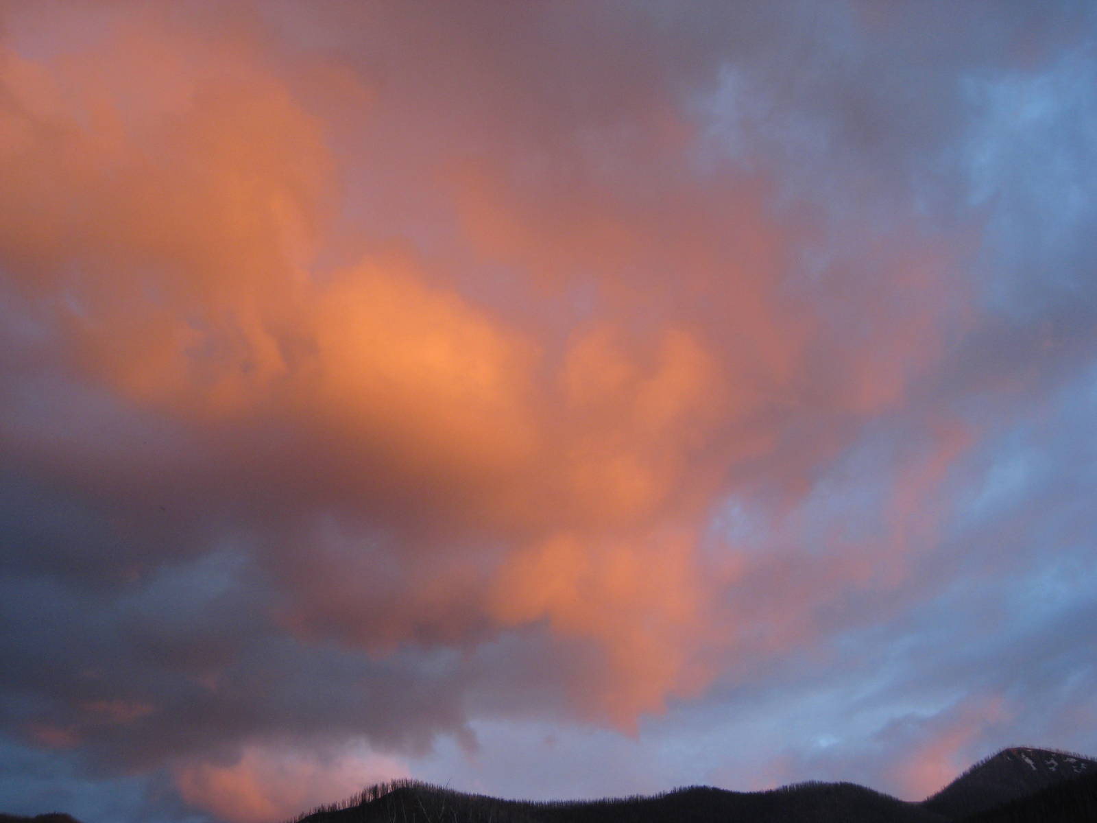
I took a break on a large rock and just enjoyed the now blue sky afternoon. While resting I spotted rocks naturally tumble down the wall. They were not large or near me, but the event still reminded me of another hazard out here.
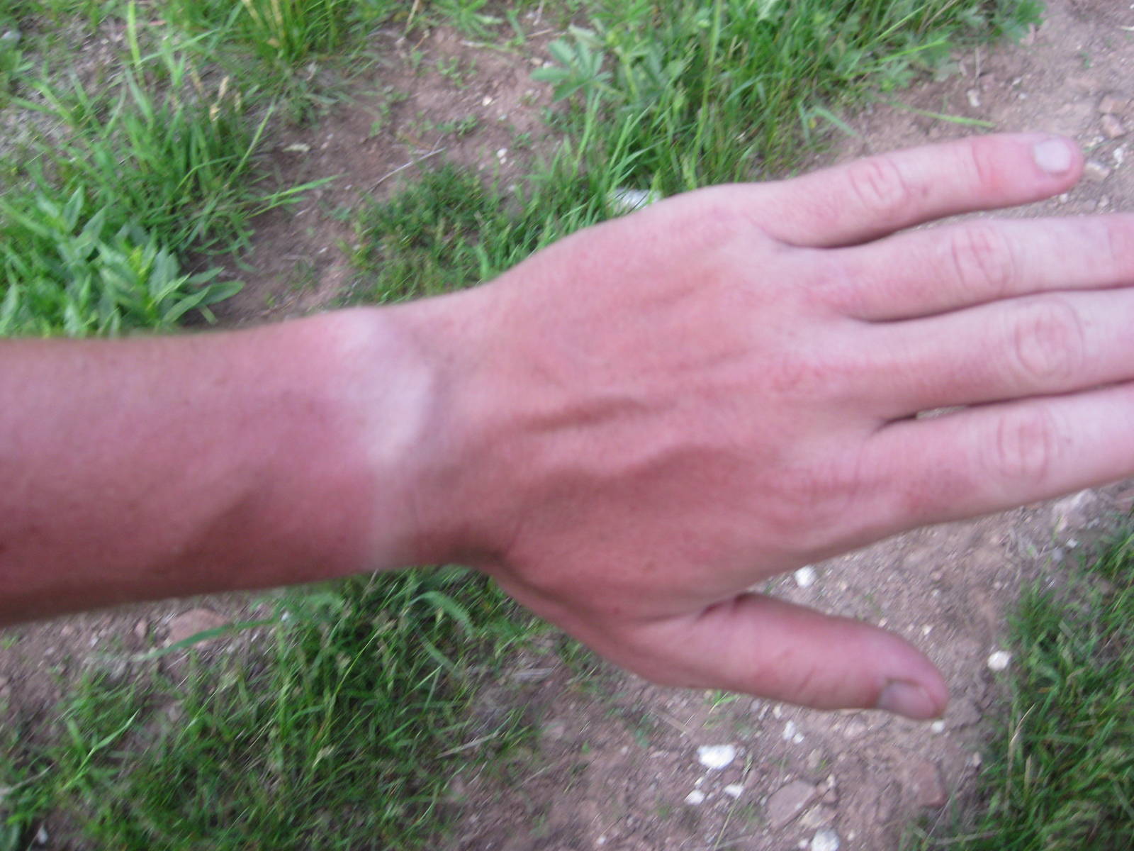
The sun, although welcome, also created softer snow, making walking even harder. I also neglected to wear sunscreen, so the combination of sun, high elevation, snow, and white skin turned my arms beet red.
Thankfully most of the way to the pass below Summit Mountain was snow free. While that climb along the Chinese Wall was still difficult, it was much easier than had ground cover still been present.
The way down was a scramble across snow until I finally located the trail. Lower in the valley were a couple tough fords — almost crotch deep with a decent current — but I stayed upright. Transient and Roaring Lion caught me, after I got ahead of them by hiking the unexpectedly quicker alternate over Switchback Pass. We hiked together for the rest of the evening and made camp.
I did not cover as many miles the prior day as I expected, so today was not quite the nero going into Benchmark I wanted. I still had eight miles to hike in the morning, but at least they were flat and easy. My package thankfully made it to Benchmark Wilderness Ranch, so I had my resupplies. The Heckmans, who run the ranch, were very nice people and good with which to talk. I spent the afternoon doing nothing but relaxing in the nearby Forest Service campground, before hiking another few easy miles into the backcountry to spend the night.