Home » Adventures » CDT » Journal » Montana » Scapegoat Wilderness
Today was a relatively flat and uneventful day hiking through several burned forests. Strong wind blew throughout, but it was mostly at my back and the mountains shielded it much of the time. I camped near a little used horse coral, ready for a climb for first thing tomorrow morning.

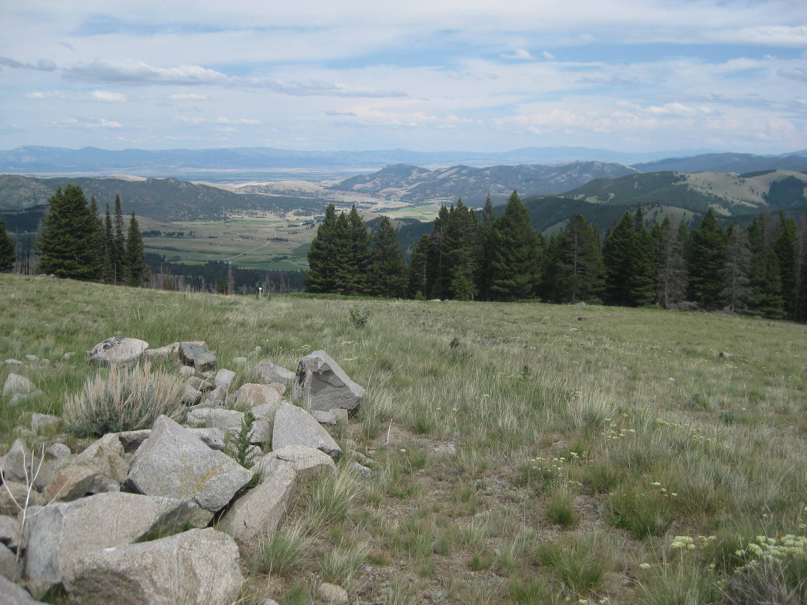
Today was quite different from yesterday. The trail climbed and traversed the actual divide for a long stretch. Some absolutely spectacular views could be had, but they were along a ridgeline exposed to the elements. The sky was blue, but windy, and atop the mountain nothing obstructed the wind’s furry. Clouds floated by nearly level with me on this nice day.
Transient and I played leapfrog, with his earlier start and faster hiking pace, but me taking less breaks and wrong turns.
I felt great today with the beautiful scenery, but the PUDs along the divide quickly got old. I camped near Lewis and Clark Pass, which had one of the few reliable water sources after having traversed a ridgeline most of the day. Reaching the water was still required a 200 foot vertical descent, and walking back up with almost five liters on my back at the end of the day was less than fun.
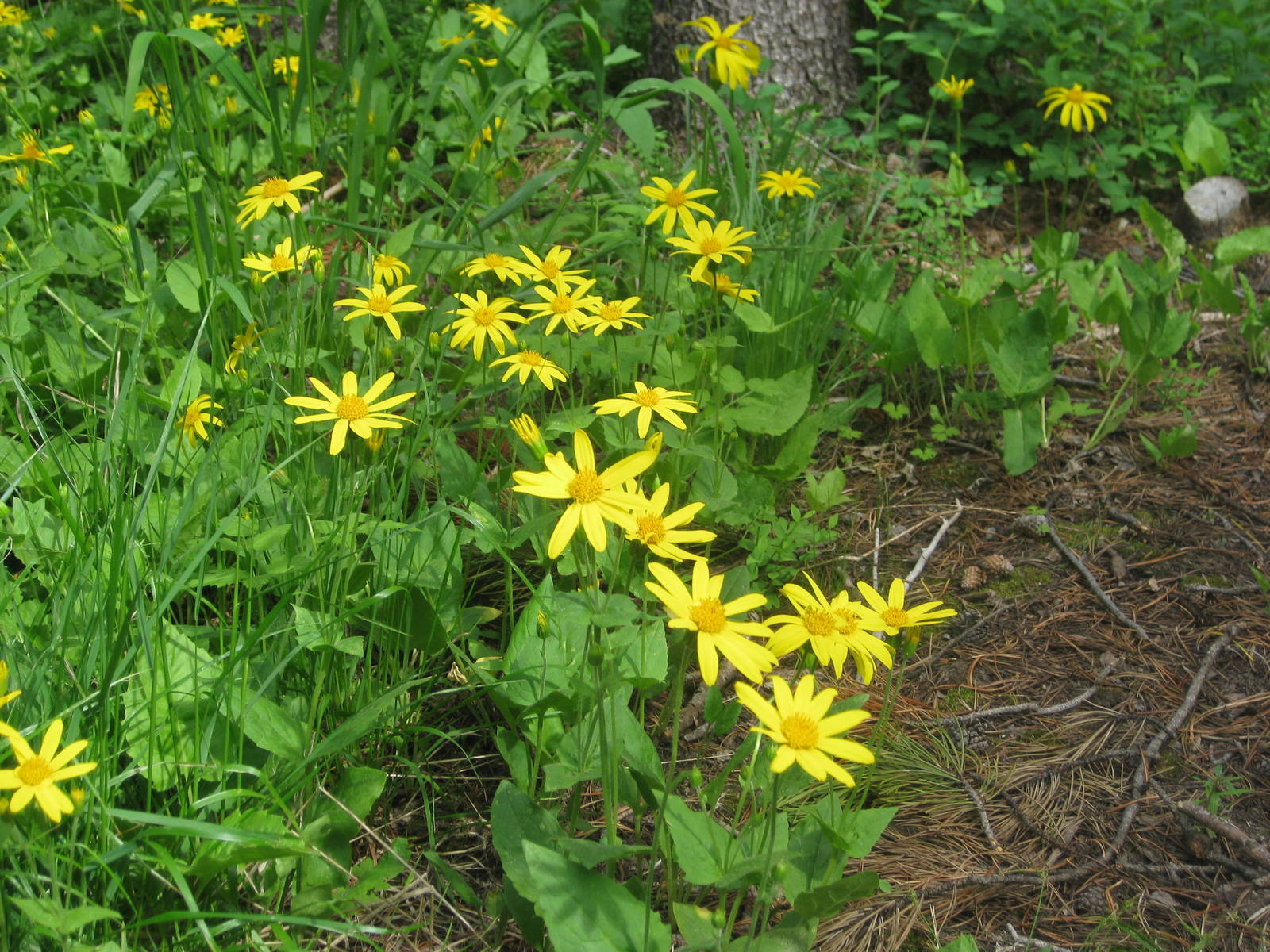
I saw my first of what I was sure will be many cows this morning near Lewis and Clark Pass. From there another windy day along the top of the divide ensued, with plenty of PUDs thrown in to keep me honest. I met Jason early in the day, who was section hiking from Canada to Rogers Pass. A family situation prevented him from undertaking his entire planned thru hike.
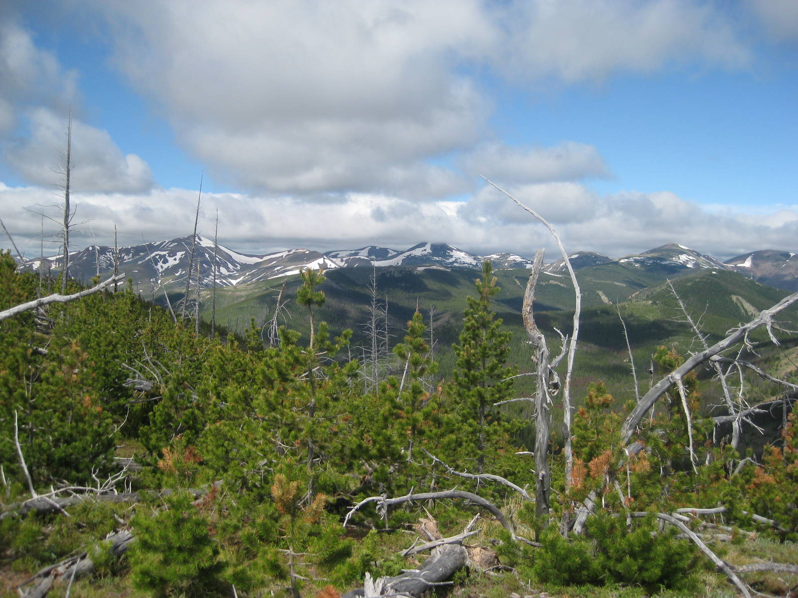
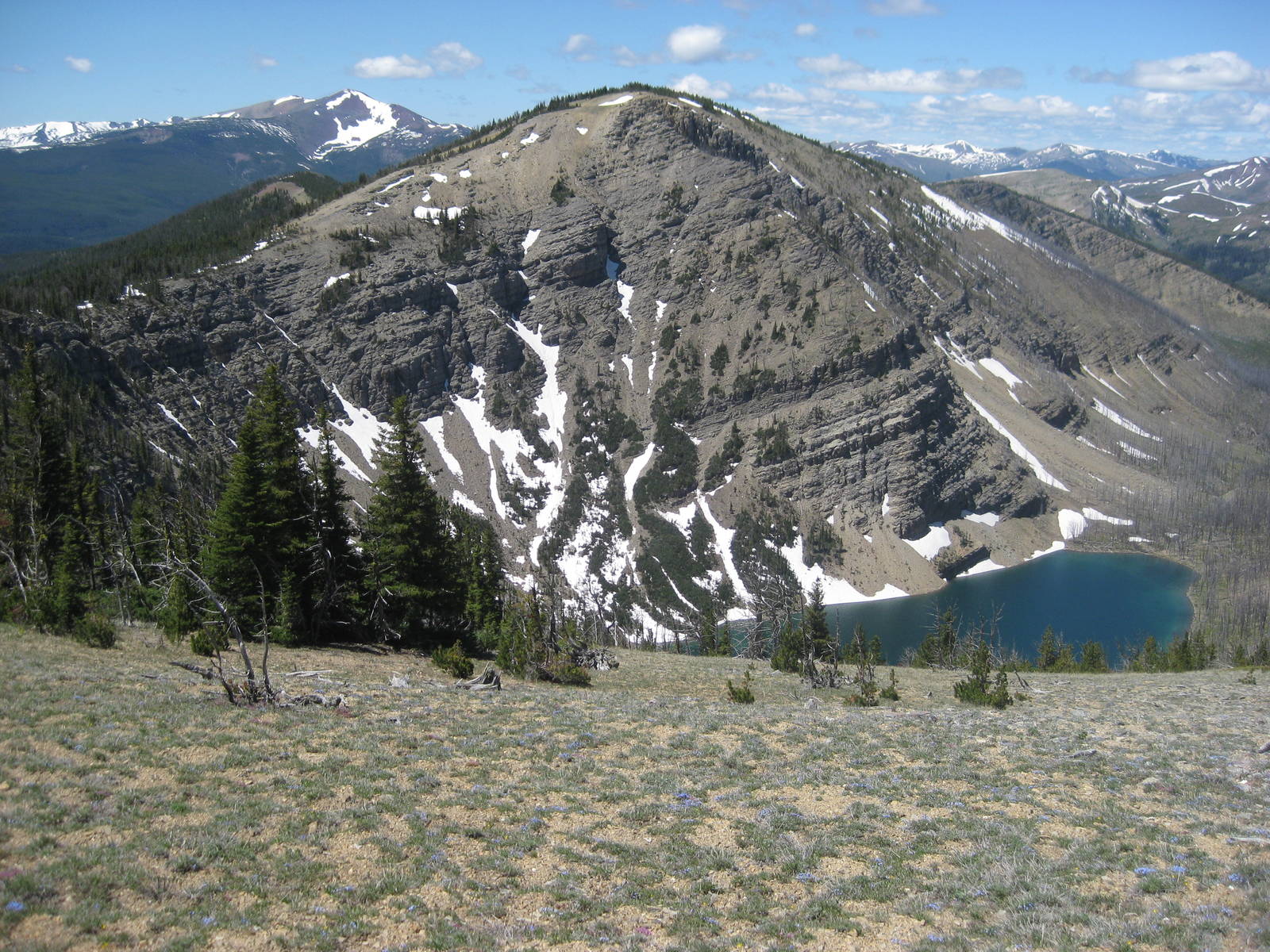
I made another navigation SNAFU, with again reading contour lines as sloping in the opposite direction. Therefore instead of an easy descent along good tread to Rogers Pass, after realizing my error I endured an unpleasant bushwhack.
Climbing the other side of Rogers Pass I passed a hiker approaching me, but she was separated from her group and we discovered she was headed down the wrong trail. I got her turned around and reunited with her hiking partners.
The wind today was a nice addition, as it kept the temperature in check on an otherwise sunny day.
I had not forded a river in a while, which kept my feet dry, but also meant water was scarce. I ran out a couple miles before my last refill spot, which made the evening drag on, but still not nearly as bad as my cottonmouth walk in the Adirondacks.
I cowboy camped semi-legitimately on a picnic table at Flesher Pass, with the solid outhouse as a backup rain shelter.
The morning was flat, as the divide was lower and more rounded. It did not have any sharp peaks in this area and was instead covered in gentle forest. The flatness came as a relief, as my legs needed the rest.
After crossing Stemple Pass I walked through a nice meadow before the trail climbed again into the mountains. My legs held up okay — a little tired with sore feet — but I was still looking forward to a zero/nero in Helena/Elliston or Anaconda.
I used a branch as a walking stick for much of the day to help pull myself up inclines. I had not used hiking poles before and was still not sold on the idea, but the sticks did seem to help.
I finished the climb over Black Mountain before descending again for my first extended road walk. At least the terrain was easier along the road, but covering the wide tread took forever.
While crossing a field approaching Mullan Pass about ten cars drove by on a normally desolate dirt road. They appeared to have come from a wedding in the bush, as all their occupants were dressed up.
Between Mullan and Priest Pass the trail followed a very old railroad bed, whose only remnants were a dilapidated trestle and excavated rocks. A tunnel through the mountain long ago replaced this route, and I heard several far away diesels chug mightily up the grade.


I covered the last few miles to MacDonald Pass and hitched into Elliston. I found a ride quick but still hated being on the side of a road helpless with my thumb out and hobo sign.
Elliston was a small town, but had a convenience store and saloon. At Lawdog’s Saloon I ate a burger the size of my head but still finished the whole thing. The small store had everything a hiker needed, but in limited quantities. A ride back to the pass was harder to catch, having to stand on the roadside over an hour. I needed to remember to eat last, so I could try to talk up a ride in the bar instead of relying primarily on my thumb.
Back at the pass I had hiked several miles into the woods, when a lightning storm appeared just as I hit a clearing on top of a hill. Lightening sounded a lot different when I was almost in the clouds — much louder with the booming all around. I high tailed it to lower ground and the relative safety of the trees.