Home » Adventures » CDT » Journal » Colorado » Arapaho National Forest
I cooked a hearty breakfast of pancakes and something resembling an omelet before finally repacking my gear and heading into town. I did laundry and bought my groceries for the upcoming segment. I needed to print a few items, but unfortunately the library did not open until eleven. All these tasks I now rushed through, I had the best of intentions to complete on my zero day. So it was past noon by the time I made my copies, mailed a few boxes, and left town. I had wanted to get in a full day of hiking too.
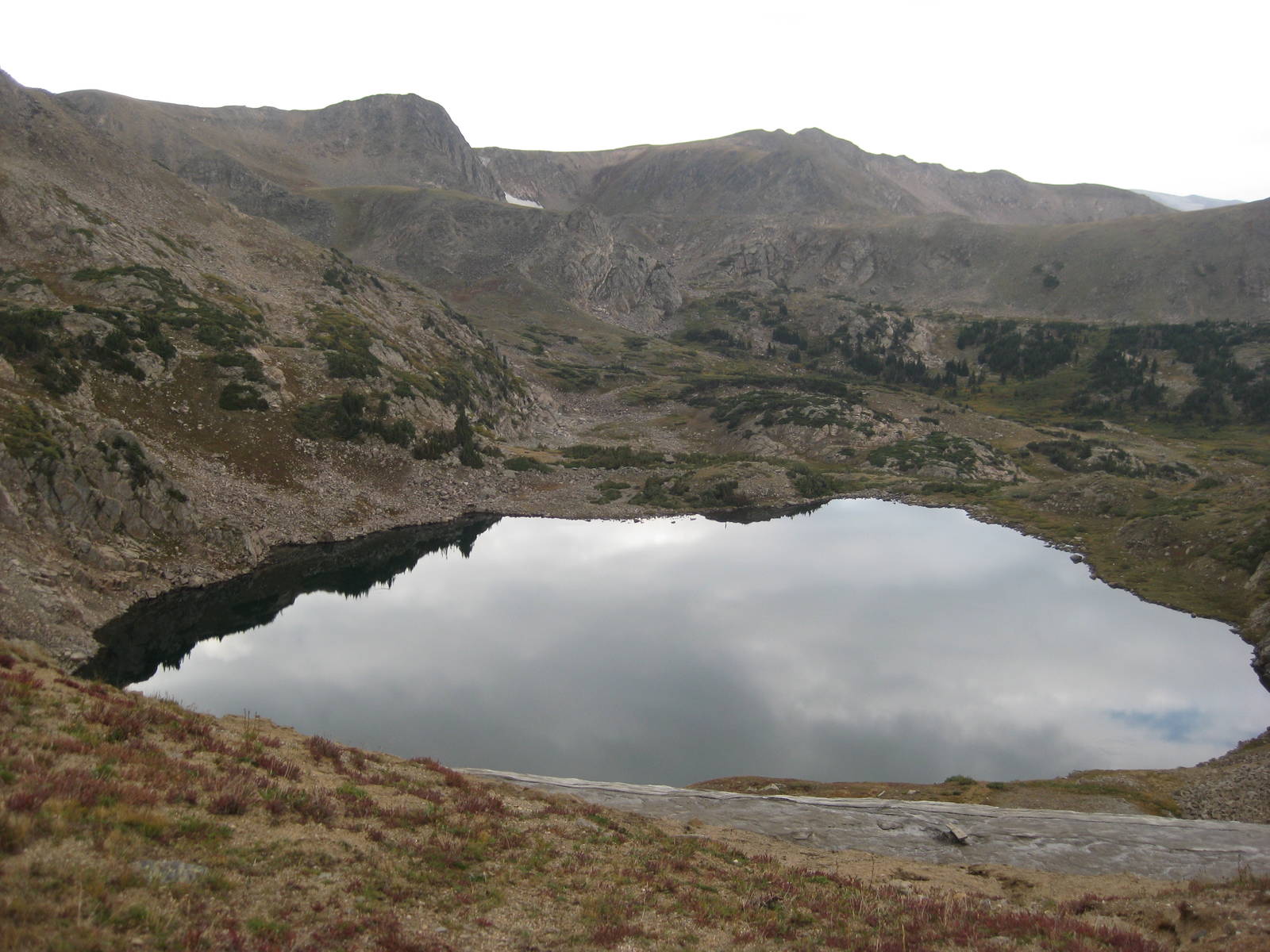
But for the hiking I did do, I strolled along Shadow Mountain Lake and the dammed upper stretches of the Colorado River. Going over Knight’s Ridge, I encountered a lot of blow downs. Although they were expected, I eventually lost the trail underneath them. I was not very motivated to find it again, since the trail was probably just buried under more trees anyway, and instead made my own path towards flat sections near the lakeshore. As with most trailblazing, this one went slowly. The flat sections were not as level as they appeared from on high, and I eventually made the sheer descent all the way to the lake, but its shore was rocky and steep, making progress cumbersome. My slow march over the loose rocks eventually led me back to the trail at Arapaho Bay Campground. Since it was almost seven already, staying there would have been the wise choice, so I instead hiked for another hour, racing the fleeting daylight and finally setting up my camp by headlamp — my first time doing so on the CDT.
Although there were a lot of ups and downs and “Ley miles” are notorious for underestimating the distance involved, covering the reported half marathon to Devils Thumb took forever. This pace created a problem since after Devils Thumb the trail followed the ridgeline for almost twenty miles without many camping options. Also, although the weather was nice earlier, the normal afternoon thunderstorms threatened by the time I arrived there. Not wanting to tempt fate on an exposed ridge, I waited below the pass to see what the weather would do. It never completely cleared, but became calm enough to let me advance along the mountaintops. I reached Rollins Pass and found a small, slightly sheltered spot.
The miles sure come slow through Colorado.
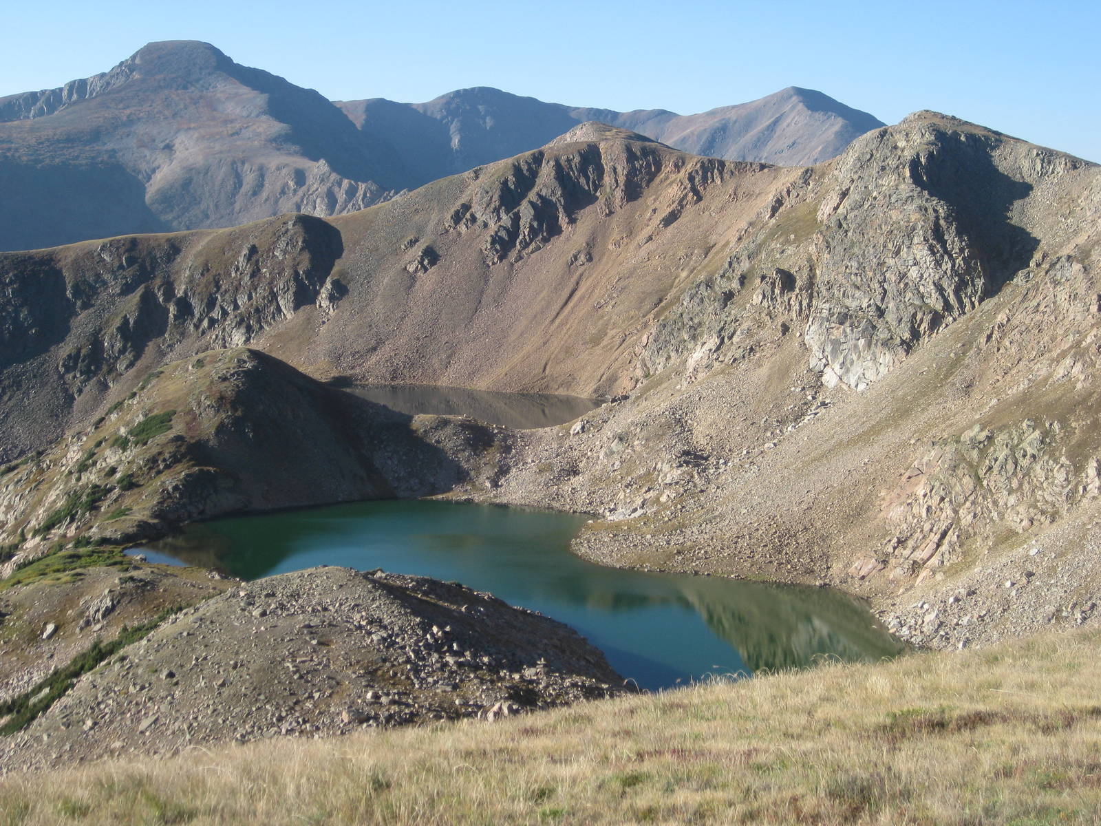
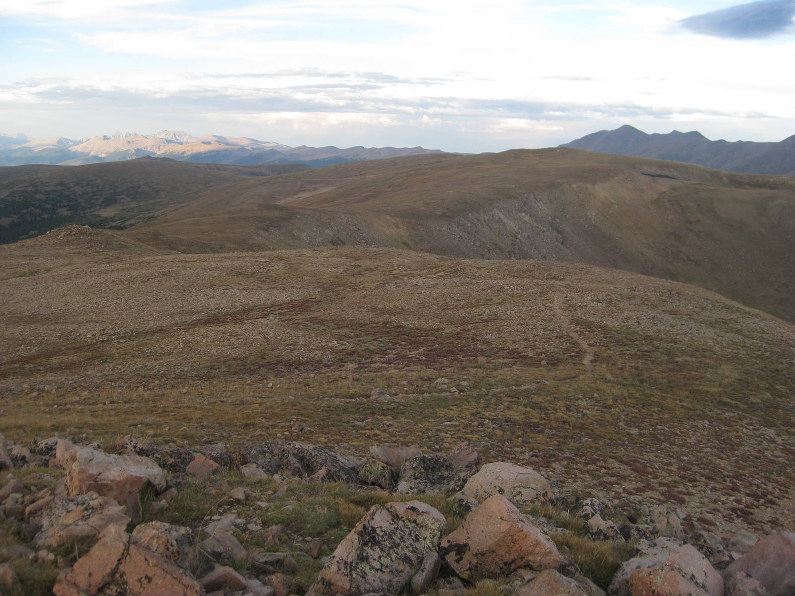
A nice morning walk along the divide provided great views of mountains and cliffs headed south to James Peak. Roaring Lion had caught back up to me at Rollins Pass, and we more or less hiked together. The climb up James Peak was well switched backed, but still tough with it being my first time over 13,000 feet this trip. I could feel the thin air as it took less to make me huff and puff. The view was great from on top though and quite a few day hikers had made the trek as well.
We then began the toughest stretch of terrain so far, following the divide towards Perry Peak. A deep saddle first had to be traversed, with some technical rocky sections. The rest of the tread to Perry Peak was decent though, just steep walking, and I made it to my second 13ner of the day within a couple hours.
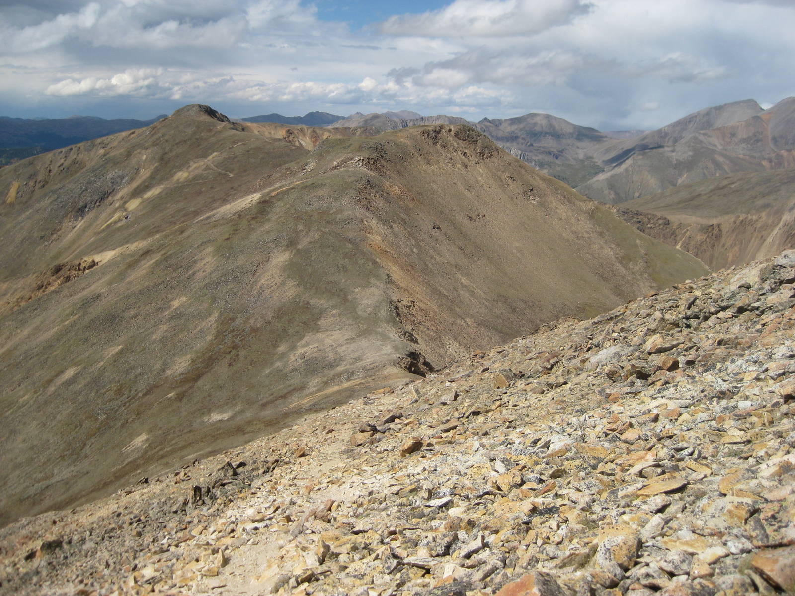
I thought the rest of the ridgeline would be relatively easy, but instead I found an unending traverse continuing along the rocky slopes, whose rocks were loose and uneven. No tread was to be had, and I did a horrible job picking routes. A couple rain and wind showers passed through too, but at least lightening stayed away.
I eventually reached better tread and made the descent to Berthoud Pass, which had a nice warming hut. There I took a long break and ate dinner. Just as I was leaving to hike a few more evening miles, Transient showed up. He hitched to this pass, after taking a side trip from Grand Lake to near Loveland to see a Sherman tank. Quite the coincidence meeting him again. After even more climbing and walking along the divide, I camped within earshot of an industrial strength ventilation system for a mine, which droned on all night.
The trail basically made a big loop today, following a ridge, hitting a couple minor peaks, but ending up at the base of Grays and Torreys Peaks, less than ten as the crow flies miles from Berthoud Pass, where I was yesterday afternoon. The trail basically followed the divide and there was no other viable way for a hiker to reach this base camp, but taking this circuitous route was still a tough pill to swallow, especially when I was feeling the last couple of high, hard days. My legs were much less springy, despite the ever decreasing amount of food in my pack. Good thing I did not have a couple 14ners planned for tomorrow…
My first thunderstorm in a couple days hit this afternoon, but thankfully I had just reached tree line and only continued to get lower, so I just had to deal with the few sprinkles.
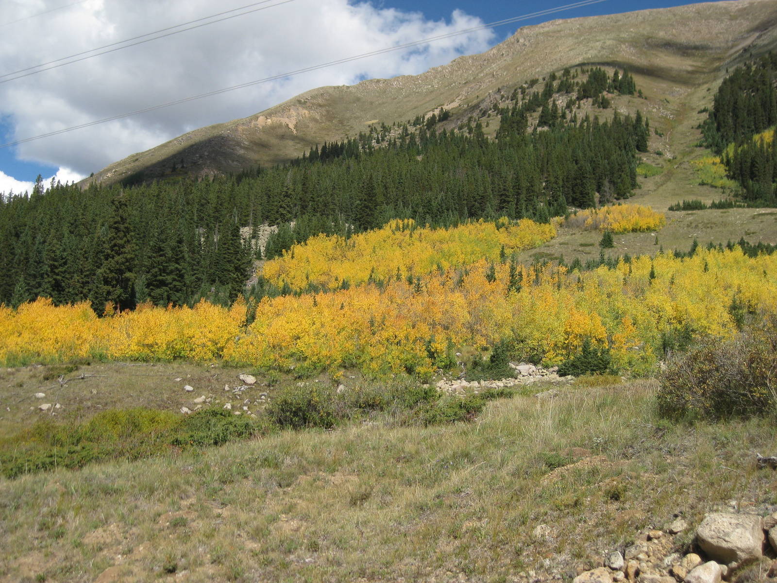
On the walk up the road to the Grays Peak trailhead, I noticed for the first time some trees changing color. It was only the beginning of September, but fall had arrived at elevation.
I awoke early for the final assault on Grays and Torreys Peaks, taking down my tent by headlamp and being on the trail by 5:45. I had heard people hike by at 4 a.m. though, presumably to watch the sunrise from the top. This route was popular regularly, and being Labor Day the trail to the peak had a parade of people. The tread was excellent, although a brisk wind kept the morning chilly. By 8 a.m. I was to the top of Torreys Peak, the first 14ner I had ever climbed to, and shortly later I summited Grays.
From there the CDT made a sharp descent down the backside of the mountain. Getting over the peaks took less time than anticipated, so back in the valley I was left with the choice of quitting early and having a nice relaxing Labor Day or death marching another eighteen miles that afternoon, thirteen of it on an exposed ridgeline with almost no place to camp or spots to bail. Neither choice sounded particularly appealing, but of course I went with the latter. At least I could eat snacks allocated for tomorrow since the extra distance would put me in town a day earlier.
The ridge walk was spectacular, but tough. While in the past the trail occasionally contoured around some peaks, this trail went up and down every crevasse — a brutal, never ending roller coaster. It also almost goes without saying that wind and rain pestered me a few times while on the ridgeline, but thankfully not for long stretches and sans lightning. The miles and time dragged on, and I was once again rushing to get back to tree line before nightfall. I barely did, with a western facing slope giving me a few extra minutes of daylight. Unfortunately the area still did not have a water source or many good spots to pitch a tent. I made due though, and somehow just enough water was left in my pack’s bladder to cook dinner.

The jeep road that I followed for about the final mile last night was not the CDT. It at least paralleled the correct route, so after I realized my mistake just a short cross country bushwhack corrected the error. Yet another reason not to plan your day to be hurrying to beat nightfall — the odds of making a navigational error increase exponentially.
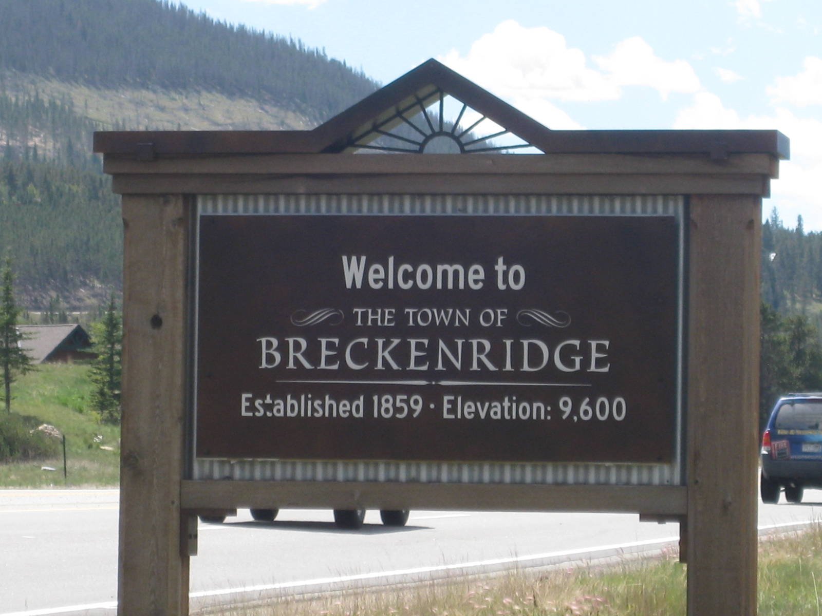
Although tread was built all the way to Breckenridge, I road walked in, since I was hungry and the official trail had several thousand feet of PUDs not even on the divide. I rode the bus into town, got lunch, did some shopping, and retrieved my much needed pair of shoes from the post office. While I was walking back to the bus station, trail coincidence once again occurred as I saw Transient and Roaring Lion walking into town to eat. I was on my way out though, so we exchanged words, and I rode back to the trail, hiked a few miles in, and camped early for a change.