Home » Adventures » Black Hills » Castle Peak Area
I woke up to a cool morning. I had expected decent weather and had only brought cold weather gear mostly as an afterthought. The surrounding cities had been warm, but the hills could still get pretty cold.
My intended early start succumbed to the power of more sleep, but I was still on my bike by 8. I planned to explore the forest roads around my campground at Castle Peak and make my way around Deerfield Lake. Once again I had almost no time on my mountain bike prior to saddling up on vacation.
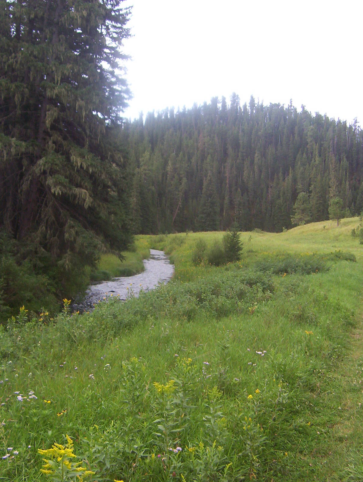
The forest road was rocky and bumpy but very rideable. I did not see my preferred turnoff, so I took it safe by looping around FR17, before meeting FR187 towards Deerfield Lake. I went around a couple gates of varying difficulty and made an easy crossing of Castle Creek. Someone had placed a railroad tie across so I did not even get my feet wet. From there I climbed out of the valley and passed safely through a couple of cow herds.
I missed the Deerfield Lake trail crossing, so I wound through roads until I easily found the Kinney Canyon Trailhead. The trail became single track with woods encroaching the right of way. I could mostly ride the trail, although a couple sections forced me to dismount. This single track was brief, after which I soon hit another forest road. Many trunks were down along the trail, most of which were debris left by loggers.
I picked up the loop trail around Deerfield Lake going clockwise. It once again became single track that was too technical for my limited riding abilities. I walked my bike through many of the steep sections, still remembering my Moab trip.
The trail continued in similar fashion and progress was painfully slow. From my vantage point in the tress, I could also see the smooth road in the recreation area below, which I paralleled. I did not come all the way to the Black Hills to ride on dirt roads though, which were plentiful back home, so I stuck to the difficult tread.
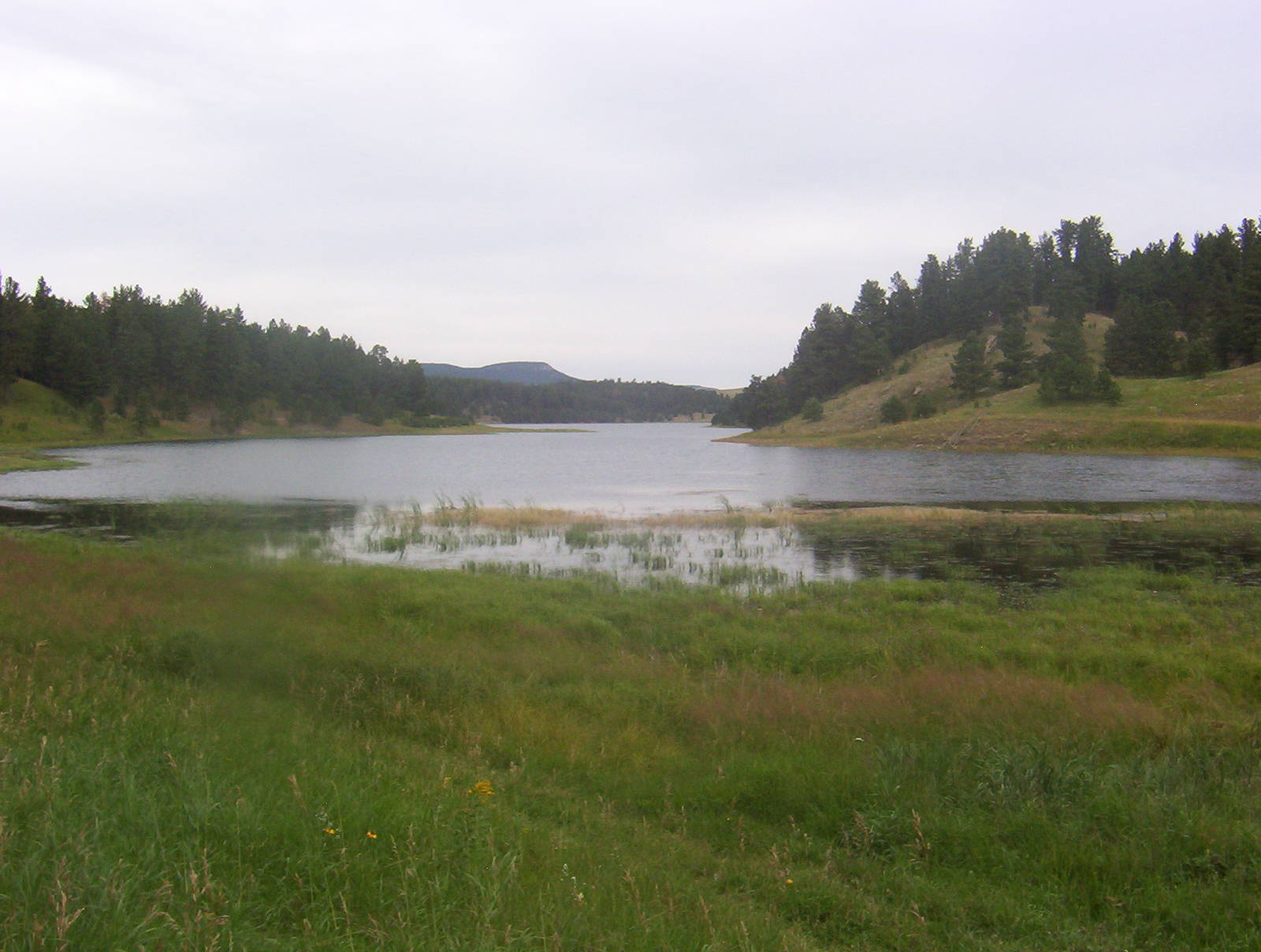
Deerfield Lake
Although the trail was marked as 40L, the route differed from my maps, as I stayed near the shoreline. The northwest part of the loop trail was closed due to a bald eagle’s nest, and since I was tired of being bounced around anyway, I took forest roads back to my campsite. They were mostly smooth gravel, but still had quite a few long, steep climbs. During these assents the sun made its only appearance for the day, causing me to sweat profusely.
I arrived at camp around one and was sore. My legs hurt from their expenditure and shoulders were weary from being pounded holding the bars. I spent the absolutely gorgeous afternoon relaxing, reading, and planning the remainder of my trail running and mountain biking, before I disappeared into the wilderness for a week.
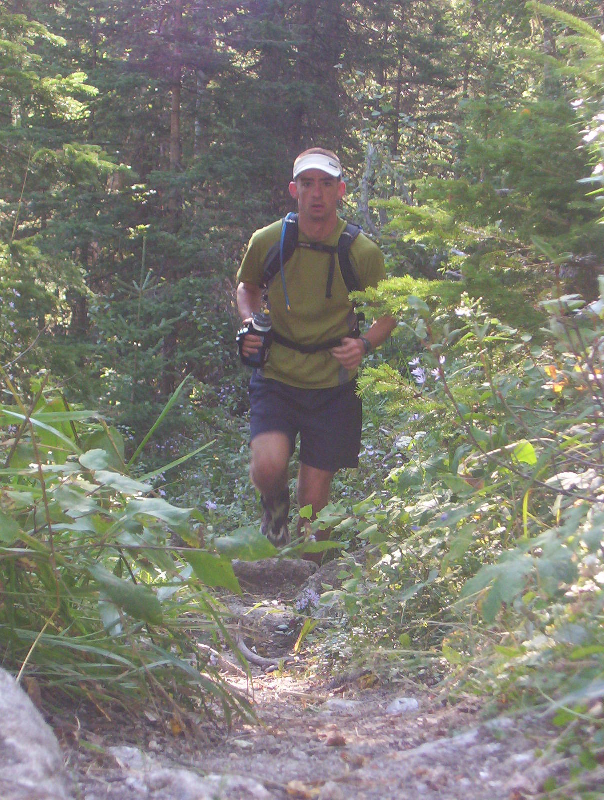
I left around five for a trail run, whose planned would circumnavigate Castle Peak and even touch the summit. I started back up the road I mountain biked earlier, before turning on FR181.1C. I continued merrily along, not pushing the pace and power walking the significant inclines. All was going relatively well, and I reached (what I though) was the summit. At the top loggers had dug two large trenches, whose purpose was unbeknownst to me.
I continued along the trail until it suddenly dead ended. I looked high and low for the road, but could not find any hint. I figured my map was wrong, and the road did not go through in reality. Foolishly, it never crossed my mind that I might be in the wrong place.
I did not want to turn around and backtrack but knew trail blazing through the forest would be a horrible idea. I had a compass a general vector to follow, but did not have a topological map. My watch said it was also already six, giving me only about an hour and a half of good daylight should something go amiss. The headlamp I carried would work for trails but was inadequate for navigating through dark forests. Nevertheless, with “this is a horrible idea” going through my head, I plunged into the trees. I shimmied down a steep slope, falling from tree to tree, wondering how hard it would be to climb if I had to backtrack.
I continued through the forest, trying to avoid the dramatic ups and downs of the valleys. I arrived at a point though, where the only way forward was up a steep slope on the other side of the ravine. I was about thirty seconds from aborting and turning around when I spotted a road. I did not know which one it was, but at least it would be smooth, and I could acclimate myself from there.
Upon reaching the road I quickly realized it was the logging road that headed into my campground. This discovery was unexpected, as it meant I was in a completely different spot than though, almost three miles away. Thankfully I was now not lost and shuffled the short distance back to camp.
Afterwards I deduced I took the wrong turn where FR181 met FR238. I recognized the hairpin turn there and even double checked my map, but absent mindedly went the wrong way anyway.
At camp I acquisitioned a lighter and eventually started a fire. The boy scouts (of which I was never a member) would have been disappointed with the twenty-odd attempts required to finally ignite the wood. The fire eventually grew much larger than necessary — nominally to keep the bugs and cold away, but really because every guy deep down just likes playing with fire.