Home » Adventures » Alaska » Yukon River Paddle
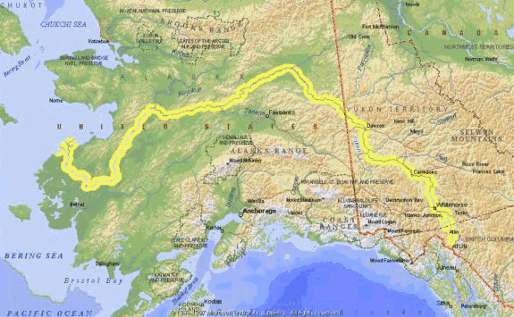
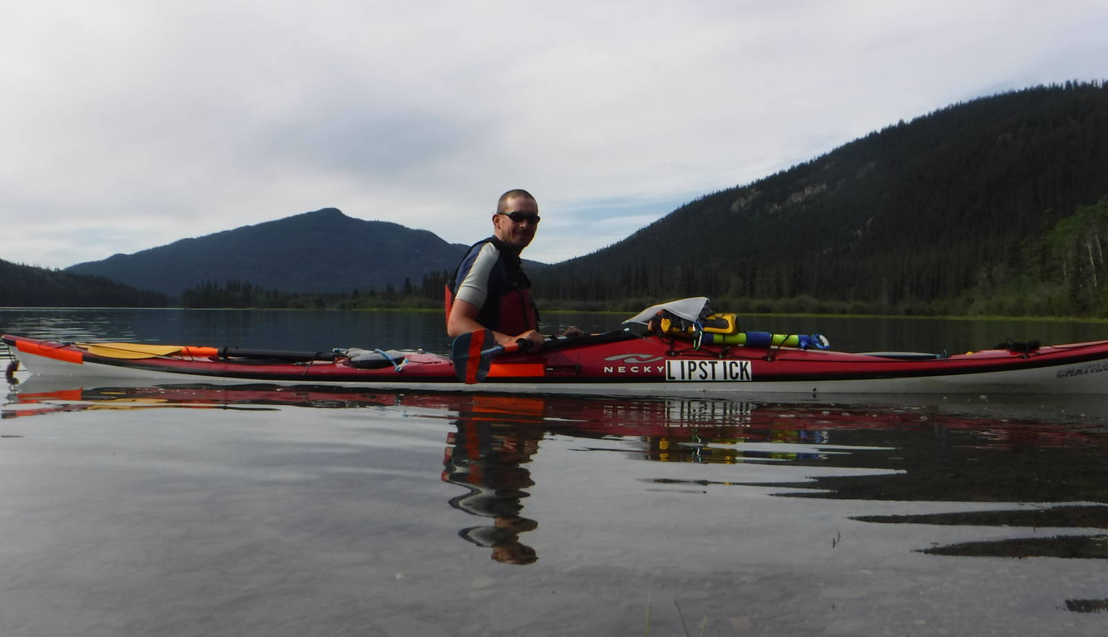
As part of my summer in Alaska I kayaked the entire length of the Yukon River, roughly 2,000 miles. I started in Atlin, British Columbia, backtracking to the Llewellyn Glacier, before heading all the way to the Bering Sea near Emmonak, Alaska. Although I had a lot of long distance hiking miles, this trip was my first long kayaking expedition. The Alaskan bush is very remote and unforgiving, and probably not the best place for an initial extended trip. Nonetheless, I took the risk and ended up having a fairly successful trip — no capsizes or drowning!
Parts of the river were very photogenic, others were a bit monotonous, while still others had interesting artifacts from the people that have lived there. Browse all the photos from along the river.
Details on planning a trip and what services are available along the river.